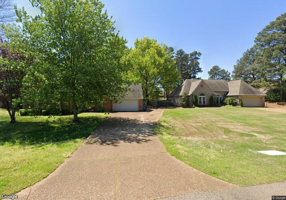
10241 Loftin Dr Olive Branch, MI 38654
Estimated Value: $321,000 - $344,000
3
Beds
2
Baths
1,990
Sq Ft
$165/Sq Ft
Est. Value
About This Home
This home is located at 10241 Loftin Dr, Olive Branch, MI 38654 and is currently estimated at $329,248, approximately $165 per square foot. 10241 Loftin Dr is a home located in DeSoto County with nearby schools including Olive Branch Elementary School, Chickasaw Elementary School, and Olive Branch Middle School.
Ownership History
Date
Name
Owned For
Owner Type
Purchase Details
Closed on
Jul 17, 2019
Sold by
Carroll Kimberly D
Bought by
Fitzgerald Kimberly Day
Current Estimated Value
Purchase Details
Closed on
Jun 24, 2011
Sold by
Carroll Charles T
Bought by
Carroll Kimberly D
Home Financials for this Owner
Home Financials are based on the most recent Mortgage that was taken out on this home.
Original Mortgage
$103,282
Interest Rate
4.63%
Mortgage Type
FHA
Create a Home Valuation Report for This Property
The Home Valuation Report is an in-depth analysis detailing your home's value as well as a comparison with similar homes in the area
Home Values in the Area
Average Home Value in this Area
Purchase History
| Date | Buyer | Sale Price | Title Company |
|---|---|---|---|
| Fitzgerald Kimberly Day | -- | Realty T&E Co Inc | |
| Carroll Kimberly D | -- | Alliance Title |
Source: Public Records
Mortgage History
| Date | Status | Borrower | Loan Amount |
|---|---|---|---|
| Previous Owner | Carroll Kimberly D | $103,282 |
Source: Public Records
Tax History Compared to Growth
Tax History
| Year | Tax Paid | Tax Assessment Tax Assessment Total Assessment is a certain percentage of the fair market value that is determined by local assessors to be the total taxable value of land and additions on the property. | Land | Improvement |
|---|---|---|---|---|
| 2024 | $1,757 | $15,073 | $3,500 | $11,573 |
| 2023 | $1,757 | $15,073 | $0 | $0 |
| 2022 | $1,757 | $15,073 | $3,500 | $11,573 |
| 2021 | $1,757 | $15,073 | $3,500 | $11,573 |
| 2020 | $1,931 | $14,148 | $3,500 | $10,648 |
| 2019 | $1,631 | $14,148 | $3,500 | $10,648 |
| 2017 | $1,593 | $24,090 | $13,795 | $10,295 |
| 2016 | $1,671 | $14,366 | $3,500 | $10,866 |
| 2015 | $1,971 | $25,232 | $14,366 | $10,866 |
| 2014 | $1,671 | $14,366 | $0 | $0 |
| 2013 | $1,614 | $14,366 | $0 | $0 |
Source: Public Records
Map
Nearby Homes
- 10082 Lacey Dr
- 10640 Mississippi 178
- 10719 Highway 178
- 9598 Nielsen Dr
- 10262 March Meadows Way
- 5676 Southbend Ln
- 10199 March Meadows Way
- 10243 March Meadows Way
- 9653 Trenton Trail
- 5195 Mary Ln N
- 10475 Courtney Cove
- 4630 Alexander Rd
- 6041 Allen Pkwy W
- 9640 Miranda Dr
- 2914 Cypress Lake Dr S
- 7065 Scarlet St
- 9821 Morgan Manor Dr
- 6280 Cherokee Dr
- 5648 Blocker St
- 10625 Kristen Dr
- 10241 Loftin Dr
- 10257 Loftin Dr
- 9885 Taylor Dr
- 10273 Loftin Dr
- 10236 Loftin Dr
- 13625 Taylor Dr
- 10228 Loftin Dr
- 10252 Loftin Dr
- 10220 Loftin Dr
- 9869 Taylor Dr
- 102527 Loftin Dr
- 10268 Loftin Dr
- 10289 Loftin Dr
- 10276 Loftin Dr
- 167 Loftin Dr
- 199 Loftin Dr
- 165 Loftin Dr
- 183 Loftin Dr
- 166 Loftin Dr
- 164 Loftin Dr