10243 Hubbard Line Rd Menahga, MN 56464
Estimated Value: $324,000 - $474,624
--
Bed
--
Bath
1,962
Sq Ft
$208/Sq Ft
Est. Value
About This Home
This home is located at 10243 Hubbard Line Rd, Menahga, MN 56464 and is currently estimated at $407,208, approximately $207 per square foot. 10243 Hubbard Line Rd is a home located in Wadena County with nearby schools including Menahga Elementary School and Menahga High School.
Ownership History
Date
Name
Owned For
Owner Type
Purchase Details
Closed on
Feb 27, 2006
Sold by
Johnson Ronald E and Carlson Leona B
Bought by
Marjamaa Wade F and Marjamaa Linda M
Current Estimated Value
Home Financials for this Owner
Home Financials are based on the most recent Mortgage that was taken out on this home.
Original Mortgage
$30,700
Interest Rate
7.9%
Mortgage Type
Future Advance Clause Open End Mortgage
Create a Home Valuation Report for This Property
The Home Valuation Report is an in-depth analysis detailing your home's value as well as a comparison with similar homes in the area
Home Values in the Area
Average Home Value in this Area
Purchase History
| Date | Buyer | Sale Price | Title Company |
|---|---|---|---|
| Marjamaa Wade F | $37,500 | None Available |
Source: Public Records
Mortgage History
| Date | Status | Borrower | Loan Amount |
|---|---|---|---|
| Closed | Marjamaa Wade F | $30,700 |
Source: Public Records
Tax History Compared to Growth
Tax History
| Year | Tax Paid | Tax Assessment Tax Assessment Total Assessment is a certain percentage of the fair market value that is determined by local assessors to be the total taxable value of land and additions on the property. | Land | Improvement |
|---|---|---|---|---|
| 2025 | $1,014 | $447,400 | $98,600 | $348,800 |
| 2024 | $1,014 | $415,800 | $104,200 | $311,600 |
| 2023 | $520 | $400,700 | $87,600 | $313,100 |
| 2022 | $446 | $320,100 | $87,500 | $232,600 |
| 2021 | $410 | $259,900 | $67,800 | $192,100 |
| 2020 | $1,164 | $247,400 | $60,500 | $186,900 |
| 2019 | $1,148 | $235,200 | $58,900 | $176,300 |
| 2018 | $2,836 | $232,400 | $57,400 | $175,000 |
| 2017 | $269 | $205,200 | $54,700 | $150,500 |
| 2016 | $2,530 | $194,922 | $52,430 | $142,492 |
| 2015 | $2,290 | $0 | $0 | $0 |
| 2014 | -- | $0 | $0 | $0 |
Source: Public Records
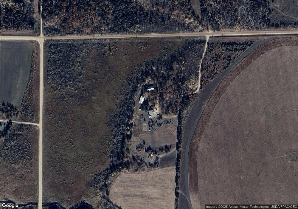
Map
Nearby Homes
- TBD Park Dr Unit 21
- 39589 Park Dr Unit 22
- 12245 Blueberry Loop
- 12343 Blueberry Loop
- 48100 110th St
- 16168 560th Ave
- 18480 N Blueberry Rd
- 10244 Minnesota 87
- 38564 E Blueberry Dr
- 12483 135th Ave
- 715 4th Ln NW
- 222 Dogwood Ave NW
- 29 Fir Ave NW
- 44 Hickory Ave NW
- 13737 109th Ave
- 232 2nd St NW
- 14413 Blueberry Bridge Rd
- 37237 Pine Cone Dr
- 317 2nd St NE
- 37263 Pine Cone Dr
- 58833 County Road 136
- 10090 99th Ave
- TBD 394th St
- 10156 394th St
- 58867 County Road 136
- 58747 County Road 136
- 10173 394th St
- TBD Hubbard Line Rd
- Xxxx 585th Ave
- N2SESE County Road 136
- 39741 109th Ave
- 15874 585th Ave
- 39791 109th Ave
- SESE County Road 136
- 15776 585th Ave
- S2SESE County Road 136
- 15856 585th Ave
- 58312 County Road 136
- 16340 590th Ave
- 10158 109th Ave