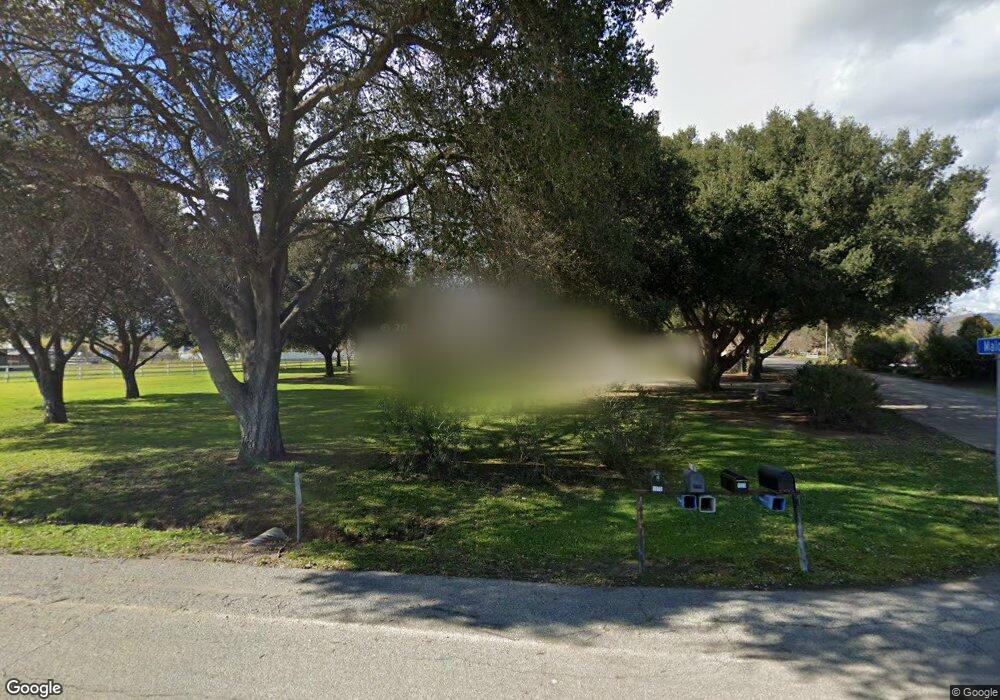
1025 Denio Ave Gilroy, CA 95020
Estimated Value: $1,394,841 - $1,645,000
3
Beds
2
Baths
1,920
Sq Ft
$812/Sq Ft
Est. Value
About This Home
This home is located at 1025 Denio Ave, Gilroy, CA 95020 and is currently estimated at $1,558,710, approximately $811 per square foot. 1025 Denio Ave is a home located in Santa Clara County with nearby schools including Rucker Elementary School, Solorsano Middle School, and Christopher High School.
Ownership History
Date
Name
Owned For
Owner Type
Purchase Details
Closed on
Jan 13, 2021
Sold by
Dick Keith E and Dick Beth L
Bought by
Dick Keith E and Dick Beth L
Current Estimated Value
Purchase Details
Closed on
Mar 16, 2000
Sold by
Nichols Fred A and Nichols Pauline A
Bought by
Dick Keith E and Dick Beth L
Home Financials for this Owner
Home Financials are based on the most recent Mortgage that was taken out on this home.
Original Mortgage
$384,300
Outstanding Balance
$130,712
Interest Rate
8.34%
Mortgage Type
Purchase Money Mortgage
Estimated Equity
$1,427,998
Create a Home Valuation Report for This Property
The Home Valuation Report is an in-depth analysis detailing your home's value as well as a comparison with similar homes in the area
Purchase History
| Date | Buyer | Sale Price | Title Company |
|---|---|---|---|
| Dick Keith E | -- | None Available | |
| Dick Keith E | $549,000 | Commonwealth Land Title Co |
Source: Public Records
Mortgage History
| Date | Status | Borrower | Loan Amount |
|---|---|---|---|
| Open | Dick Keith E | $384,300 |
Source: Public Records
Tax History
| Year | Tax Paid | Tax Assessment Tax Assessment Total Assessment is a certain percentage of the fair market value that is determined by local assessors to be the total taxable value of land and additions on the property. | Land | Improvement |
|---|---|---|---|---|
| 2025 | $10,197 | $843,782 | $499,510 | $344,272 |
| 2024 | $10,197 | $827,238 | $489,716 | $337,522 |
| 2023 | $10,123 | $811,018 | $480,114 | $330,904 |
| 2022 | $9,943 | $795,116 | $470,700 | $324,416 |
| 2021 | $9,811 | $779,526 | $461,471 | $318,055 |
| 2020 | $9,692 | $771,534 | $456,740 | $314,794 |
| 2019 | $9,595 | $756,407 | $447,785 | $308,622 |
| 2018 | $8,915 | $741,576 | $439,005 | $302,571 |
| 2017 | $9,102 | $727,037 | $430,398 | $296,639 |
| 2016 | $8,913 | $712,782 | $421,959 | $290,823 |
| 2015 | $8,389 | $702,076 | $415,621 | $286,455 |
| 2014 | $8,281 | $688,324 | $407,480 | $280,844 |
Source: Public Records
Map
Nearby Homes
- 645 Buena Vista Ave
- 2055 Rucker Ave
- 0 Buena Vista Ave
- 145 Masten Ave
- 700 Las Animas Ave
- 10500 Travis Ct
- 310 Lena Ave
- 119 Farrell Ave
- 103 Farrell Ave
- 111 Farrell Ave
- 8875 New Ave
- 190 Ronan Ave
- 10395 Santa Teresa Blvd
- 2525 Bridle Path Dr
- 12155 Columbet Ave
- 0 Magic Springs Dr Unit ML82028522
- 1 Poli Rd
- 0 Apn 835-07-018 and Apn 835-07-019 Ave Unit ML82018888
- 0 Dorrance Rd Unit ML82002071
- 0 Apn 841-38-029 Unit ML82027414
- 1085 Denio Ave
- 1015 Denio Ave
- 1013 Denio Ave
- 1035 Malo Ct
- 0 Kelly Ln
- 1095 Denio Ave
- 1075 Malo Ct
- 10200 Kelly Ln
- 1100 Denio Ave
- 1045 Malo Ct
- 10210 Kelly Ln
- 830 Denio Ave
- 10295 Center Ave
- 10511 Korn Ln
- 825 Denio Ave
- 10505 Center Ave
- 10505 Center Ave Unit ID1305120P
- 10505 Center Ave Unit ID1304978P
- 10505 Center Ave Unit C
- 1195 Buena Vista Ave
