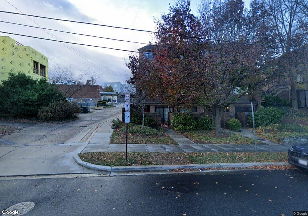
1025 Quincy St NE Unit 1025 Washington, DC 20017
Brookland NeighborhoodEstimated Value: $493,124 - $600,000
3
Beds
3
Baths
1,118
Sq Ft
$469/Sq Ft
Est. Value
About This Home
This home is located at 1025 Quincy St NE Unit 1025, Washington, DC 20017 and is currently estimated at $524,531, approximately $469 per square foot. 1025 Quincy St NE Unit 1025 is a home located in District of Columbia with nearby schools including Bunker Hill Elementary School, Brookland Middle School, and Dunbar High School.
Ownership History
Date
Name
Owned For
Owner Type
Purchase Details
Closed on
Nov 23, 2005
Sold by
Revocabl Helen Tang-Yates
Bought by
Lehner Thomas
Current Estimated Value
Home Financials for this Owner
Home Financials are based on the most recent Mortgage that was taken out on this home.
Original Mortgage
$355,950
Interest Rate
6.34%
Mortgage Type
New Conventional
Create a Home Valuation Report for This Property
The Home Valuation Report is an in-depth analysis detailing your home's value as well as a comparison with similar homes in the area
Home Values in the Area
Average Home Value in this Area
Purchase History
| Date | Buyer | Sale Price | Title Company |
|---|---|---|---|
| Lehner Thomas | $367,000 | -- |
Source: Public Records
Mortgage History
| Date | Status | Borrower | Loan Amount |
|---|---|---|---|
| Previous Owner | Lehner Thomas | $355,950 |
Source: Public Records
Tax History Compared to Growth
Tax History
| Year | Tax Paid | Tax Assessment Tax Assessment Total Assessment is a certain percentage of the fair market value that is determined by local assessors to be the total taxable value of land and additions on the property. | Land | Improvement |
|---|---|---|---|---|
| 2025 | $3,917 | $476,420 | $142,930 | $333,490 |
| 2024 | $4,106 | $498,200 | $149,460 | $348,740 |
| 2023 | $4,290 | $519,440 | $155,830 | $363,610 |
| 2022 | $4,118 | $498,190 | $149,460 | $348,730 |
| 2021 | $3,545 | $472,840 | $141,850 | $330,990 |
| 2020 | $2,996 | $456,300 | $136,890 | $319,410 |
| 2019 | $2,731 | $400,600 | $120,180 | $280,420 |
| 2018 | $2,494 | $380,860 | $0 | $0 |
| 2017 | $2,274 | $362,400 | $0 | $0 |
| 2016 | $2,073 | $345,510 | $0 | $0 |
| 2015 | $1,887 | $307,940 | $0 | $0 |
| 2014 | $1,726 | $273,230 | $0 | $0 |
Source: Public Records
Map
Nearby Homes
- 1049 Michigan Ave NE Unit 1049
- 1207 Randolph St NE
- 3719 12th St NE Unit 209
- 1235 Perry St NE
- 913 Quincy St NE Unit 3
- 3722 13th St NE
- 1032 Otis St NE Unit G01
- 705 Quincy St NE Unit 2
- 705 Quincy St NE Unit 4
- 1006 Shepherd St NE
- 1004 Shepherd St NE
- 4019 9th St NE Unit 4
- 4019 9th St NE Unit 1
- 1234 Monroe St NE
- 0 Taussig Place NE
- 820 Taylor St NE
- 1348 Newton St NE
- 4200 13th St NE
- 1248 Monroe St NE
- 1358 Newton St NE
- 1035 Quincy St NE Unit 1035
- 1027 Quincy St NE Unit 1027
- 1033 Quincy St NE Unit 1033
- 1029 Quincy St NE Unit 1029
- 1031 Quincy St NE Unit 1031
- 1001 Quincy St NE Unit 1001
- 1003 Quincy St NE Unit 1003
- 1005 Quincy St NE Unit 1005
- 1051 Michigan Ave NE Unit 1051
- 1053 Michigan Ave NE Unit 1053
- 1037 Quincy St NE
- 3812 12th St NE
- 3814 12th St NE
- 1009 Quincy St NE Unit 1009
- 3810 12th St NE
- 1015 Quincy St NE Unit 1015
- 1017 Quincy St NE
- 1011 Quincy St NE Unit 1011
- 1007 Quincy St NE Unit 1007
- 1047 Michigan Ave NE Unit 1047