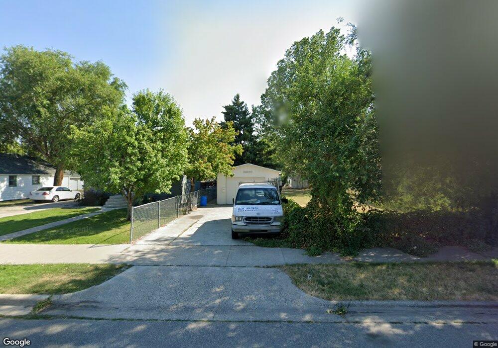
1026 Custer Ave Billings, MT 59102
East Central Billings NeighborhoodEstimated Value: $214,000 - $233,000
2
Beds
1
Bath
672
Sq Ft
$334/Sq Ft
Est. Value
About This Home
This home is located at 1026 Custer Ave, Billings, MT 59102 and is currently estimated at $224,474, approximately $334 per square foot. 1026 Custer Ave is a home located in Yellowstone County with nearby schools including Washington School, Lewis & Clark Junior High School, and Billings Senior High School.
Ownership History
Date
Name
Owned For
Owner Type
Purchase Details
Closed on
Oct 16, 2006
Sold by
Secretary Of Housing & Urban Development
Bought by
Allen Ed and Allen Cheri Heit
Current Estimated Value
Home Financials for this Owner
Home Financials are based on the most recent Mortgage that was taken out on this home.
Original Mortgage
$41,900
Outstanding Balance
$25,003
Interest Rate
6.46%
Mortgage Type
Purchase Money Mortgage
Estimated Equity
$199,471
Purchase Details
Closed on
Jun 2, 2005
Sold by
Larson Daniel L
Bought by
Secretary Of Housing & Urban Development
Create a Home Valuation Report for This Property
The Home Valuation Report is an in-depth analysis detailing your home's value as well as a comparison with similar homes in the area
Home Values in the Area
Average Home Value in this Area
Purchase History
| Date | Buyer | Sale Price | Title Company |
|---|---|---|---|
| Allen Ed | -- | None Available | |
| Secretary Of Housing & Urban Development | -- | None Available |
Source: Public Records
Mortgage History
| Date | Status | Borrower | Loan Amount |
|---|---|---|---|
| Open | Allen Ed | $41,900 |
Source: Public Records
Tax History
| Year | Tax Paid | Tax Assessment Tax Assessment Total Assessment is a certain percentage of the fair market value that is determined by local assessors to be the total taxable value of land and additions on the property. | Land | Improvement |
|---|---|---|---|---|
| 2025 | $1,863 | $201,700 | $37,400 | $164,300 |
| 2024 | $1,863 | $183,800 | $37,300 | $146,500 |
| 2023 | $1,873 | $183,800 | $37,300 | $146,500 |
| 2022 | $1,294 | $137,100 | $0 | $0 |
| 2021 | $1,536 | $137,100 | $0 | $0 |
| 2020 | $1,607 | $133,500 | $0 | $0 |
| 2019 | $1,534 | $133,500 | $0 | $0 |
| 2018 | $1,488 | $126,900 | $0 | $0 |
| 2017 | $1,444 | $126,900 | $0 | $0 |
| 2016 | $1,307 | $114,500 | $0 | $0 |
| 2015 | $1,294 | $114,500 | $0 | $0 |
| 2014 | $1,203 | $56,073 | $0 | $0 |
Source: Public Records
Map
Nearby Homes
- 925 Miles Ave
- 1009 Wyoming Ave
- 1003 Wyoming Ave
- 947 Howard Ave
- 1029 Yellowstone Ave Unit 2
- 1288 Yellowstone Ave Unit 2
- 1310 Yellowstone Ave Unit 6
- 1310 Yellowstone Ave Unit 16
- 708 Terry Ave
- 1245 Cook Ave
- 1326 Custer Ave
- 1107 12th St W
- 1225 Clark Ave
- 1205 Lynn Ave
- 1342 Custer Ave
- 1116 8th St W
- 626 Wyoming Ave
- 734 Burlington Ave
- 608 Broadwater Ave
- 43 Prickett Ln
- 1030 Custer Ave
- 1024 Custer Ave
- 1034 Custer Ave
- 1018 Custer Ave
- 1038 Custer Ave
- 1025 Terry Ave
- 1027 Terry Ave
- 1016 Custer Ave
- 1019 Terry Ave
- 1040 Custer Ave
- 1035 Terry Ave
- 1017 Terry Ave
- 1029 Custer Ave
- 1025 Custer Ave
- 1033 Custer Ave
- 1035 Custer Ave
- 1042 Custer Ave
- 1041 Terry Ave
- 1006 Custer Ave
- 1011 Terry Ave
Your Personal Tour Guide
Ask me questions while you tour the home.