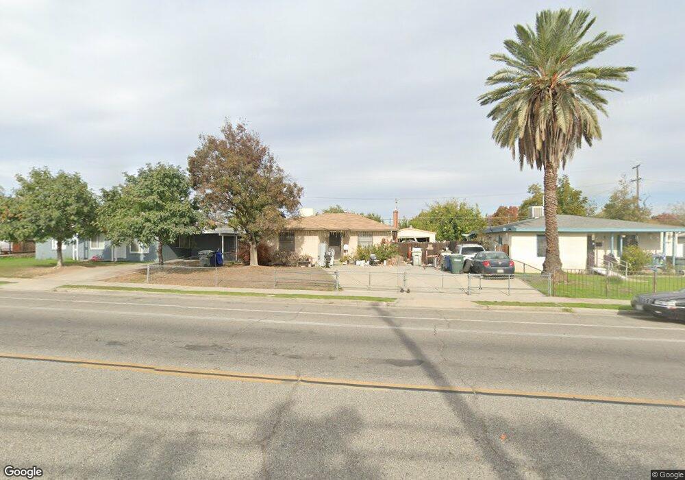
1026 W Dakota Ave Fresno, CA 93705
Roeding Park NeighborhoodEstimated Value: $280,000 - $311,000
3
Beds
1
Bath
1,026
Sq Ft
$288/Sq Ft
Est. Value
About This Home
This home is located at 1026 W Dakota Ave, Fresno, CA 93705 and is currently estimated at $295,672, approximately $288 per square foot. 1026 W Dakota Ave is a home located in Fresno County with nearby schools including Roeding Elementary School, Fort Miller Middle School, and Fresno High School.
Ownership History
Date
Name
Owned For
Owner Type
Purchase Details
Closed on
Dec 14, 1998
Sold by
Ellis Sandra and Ellis Gale Sandra
Bought by
Cantu Martin and Cantu Lisa
Current Estimated Value
Home Financials for this Owner
Home Financials are based on the most recent Mortgage that was taken out on this home.
Original Mortgage
$59,117
Interest Rate
6.77%
Mortgage Type
FHA
Create a Home Valuation Report for This Property
The Home Valuation Report is an in-depth analysis detailing your home's value as well as a comparison with similar homes in the area
Home Values in the Area
Average Home Value in this Area
Purchase History
| Date | Buyer | Sale Price | Title Company |
|---|---|---|---|
| Cantu Martin | $59,500 | Commonwealth Land Title Ins |
Source: Public Records
Mortgage History
| Date | Status | Borrower | Loan Amount |
|---|---|---|---|
| Previous Owner | Cantu Martin | $59,117 | |
| Closed | Cantu Martin | $2,499 |
Source: Public Records
Tax History Compared to Growth
Tax History
| Year | Tax Paid | Tax Assessment Tax Assessment Total Assessment is a certain percentage of the fair market value that is determined by local assessors to be the total taxable value of land and additions on the property. | Land | Improvement |
|---|---|---|---|---|
| 2025 | $1,140 | $93,253 | $32,910 | $60,343 |
| 2023 | $1,073 | $89,633 | $31,633 | $58,000 |
| 2022 | $1,057 | $87,876 | $31,013 | $56,863 |
| 2021 | $1,027 | $86,154 | $30,405 | $55,749 |
| 2020 | $1,021 | $85,272 | $30,094 | $55,178 |
| 2019 | $981 | $83,601 | $29,504 | $54,097 |
| 2018 | $958 | $81,963 | $28,926 | $53,037 |
| 2017 | $940 | $80,357 | $28,359 | $51,998 |
| 2016 | $908 | $78,782 | $27,803 | $50,979 |
| 2015 | $893 | $77,600 | $27,386 | $50,214 |
| 2014 | $873 | $76,081 | $26,850 | $49,231 |
Source: Public Records
Map
Nearby Homes
- 928 W Lansing Way
- 1025 W Fedora Ave
- 4949 Holt Ave N
- 1111 No Address
- 3749 N Fruit Ave Unit A
- A N Fruit Ave
- 3725 N Fruit Ave Unit B
- B N Fruit Ave
- 732 W Cortland Ave
- 1633 W Dayton Ave
- 1545 W Fountain Way
- 1825 W Griffith Way
- 4261 N Holt Ave
- 4246 N Holt Ave
- 1550 W Ashlan Ave Unit 134
- 707 W Shields Ave
- 1923 W Pontiac Way
- 1708 W Andrews Ave
- 4366 N Holt Ave
- 804 W Michigan Ave
- 1016 W Dakota Ave
- 1036 W Dakota Ave
- 1006 W Dakota Ave
- 1046 W Dakota Ave
- 1027 W Lansing Way
- 1037 W Lansing Way
- 1017 W Lansing Way
- 3838 N Channing Ave
- 1007 W Lansing Way
- 946 W Dakota Ave
- 1025 W Dakota Ave
- 1017 W Dakota Ave
- 947 W Lansing Way
- 936 W Dakota Ave
- 1106 W Dakota Ave
- 937 W Lansing Way
- 1107 W Lansing Way
- 1116 W Dakota Ave
- 1105 W Dakota Ave
- 1028 W Lansing Way