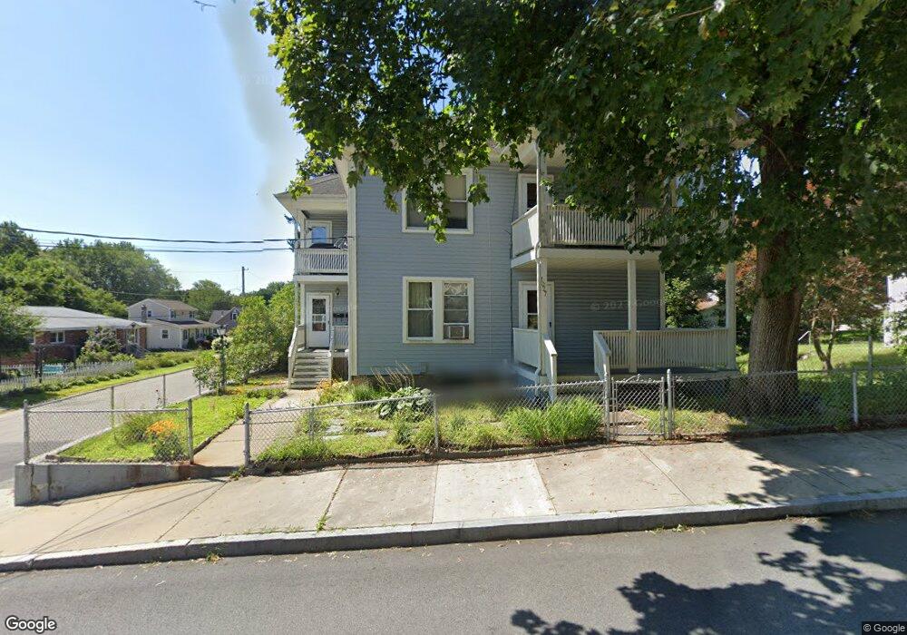
1027 Logee St Woonsocket, RI 02895
Bernon District NeighborhoodEstimated Value: $470,000 - $485,000
6
Beds
2
Baths
2,528
Sq Ft
$189/Sq Ft
Est. Value
About This Home
This home is located at 1027 Logee St, Woonsocket, RI 02895 and is currently estimated at $477,244, approximately $188 per square foot. 1027 Logee St is a home located in Providence County with nearby schools including Woonsocket High School, Founders Academy, and Beacon Charter School.
Ownership History
Date
Name
Owned For
Owner Type
Purchase Details
Closed on
Jun 30, 1997
Sold by
Tousignant Raoul
Bought by
Keegan Robie J and Keegan Kim
Current Estimated Value
Home Financials for this Owner
Home Financials are based on the most recent Mortgage that was taken out on this home.
Original Mortgage
$70,400
Interest Rate
7.81%
Mortgage Type
Purchase Money Mortgage
Create a Home Valuation Report for This Property
The Home Valuation Report is an in-depth analysis detailing your home's value as well as a comparison with similar homes in the area
Home Values in the Area
Average Home Value in this Area
Purchase History
| Date | Buyer | Sale Price | Title Company |
|---|---|---|---|
| Keegan Robie J | $88,000 | -- | |
| Keegan Robie J | $88,000 | -- |
Source: Public Records
Mortgage History
| Date | Status | Borrower | Loan Amount |
|---|---|---|---|
| Open | Keegan Robie J | $185,000 | |
| Closed | Keegan Robie J | $67,100 | |
| Closed | Keegan Robie J | $70,400 |
Source: Public Records
Tax History
| Year | Tax Paid | Tax Assessment Tax Assessment Total Assessment is a certain percentage of the fair market value that is determined by local assessors to be the total taxable value of land and additions on the property. | Land | Improvement |
|---|---|---|---|---|
| 2025 | $5,313 | $473,100 | $107,500 | $365,600 |
| 2024 | $4,634 | $318,700 | $95,300 | $223,400 |
| 2023 | $4,455 | $318,700 | $95,300 | $223,400 |
| 2022 | $4,455 | $318,700 | $95,300 | $223,400 |
| 2021 | $3,973 | $167,300 | $59,900 | $107,400 |
| 2020 | $4,015 | $167,300 | $59,900 | $107,400 |
| 2018 | $4,029 | $167,300 | $59,900 | $107,400 |
| 2017 | $4,380 | $145,500 | $46,800 | $98,700 |
| 2016 | $4,633 | $145,500 | $46,800 | $98,700 |
| 2015 | $5,322 | $145,500 | $46,800 | $98,700 |
| 2014 | $4,677 | $143,000 | $51,500 | $91,500 |
Source: Public Records
Map
Nearby Homes
- 414 Rhode Island Ave
- 216 Bertenshaw Rd
- 0 Irving Lot 206 Ave Unit 1397321
- 219 Crawford St
- 0 Hillview St
- 190 Crawford St
- 0 Irving Lot 192 Ave Unit 1383138
- 59 Division St
- 59 Cooper Ave
- 410 Carrington Ave
- 39 Louise St
- 345 Carrington Ave
- 74 Maple St
- 374 Thibeault Ave
- 346 Carrington Ave
- 526 Bernon St
- 24 Paradis Ave
- 378 Gauthier Dr
- 15 Knight St
- 233 Grove St
- 1017 Logee St
- 10 Glendale Ave
- 24 Glendale Ave
- 1003 Logee St
- 53 Glendale Ave
- 46 Fairfield Ave
- 1040 Logee St
- 40 Glendale Ave
- 0 Glendale Ave
- 64 Fairfield Ave
- 283 Saint Barnabe St
- 263 Saint Barnabe St
- 1071 Logee St
- 460 Rhode Island Ave
- 64 Glendale Ave
- 53 Fairfield Ave
- 282 Saint Barnabe St
- 76 Fairfield Ave
- 261 Saint Barnabe St
- 396 Rhode Island Ave
Your Personal Tour Guide
Ask me questions while you tour the home.