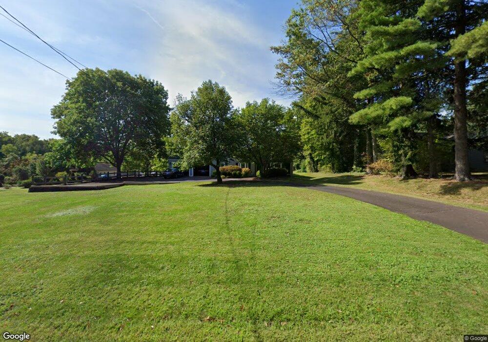
1028 Cowpath Rd Hatfield, PA 19440
Estimated Value: $471,000 - $592,000
3
Beds
2
Baths
2,211
Sq Ft
$241/Sq Ft
Est. Value
About This Home
This home is located at 1028 Cowpath Rd, Hatfield, PA 19440 and is currently estimated at $533,387, approximately $241 per square foot. 1028 Cowpath Rd is a home located in Montgomery County with nearby schools including Oak Park El School, Pennfield Middle School, and North Penn Senior High School.
Ownership History
Date
Name
Owned For
Owner Type
Purchase Details
Closed on
Dec 17, 2024
Sold by
Transue Patricia A and Transue Hugh R
Bought by
Transue Hugh R and Transue Patricia A
Current Estimated Value
Purchase Details
Closed on
Jun 22, 1990
Bought by
Transue Hugh R and Tobin Patricia A
Create a Home Valuation Report for This Property
The Home Valuation Report is an in-depth analysis detailing your home's value as well as a comparison with similar homes in the area
Home Values in the Area
Average Home Value in this Area
Purchase History
| Date | Buyer | Sale Price | Title Company |
|---|---|---|---|
| Transue Hugh R | -- | Fidelity Abstract | |
| Transue Hugh R | $154,000 | -- |
Source: Public Records
Tax History
| Year | Tax Paid | Tax Assessment Tax Assessment Total Assessment is a certain percentage of the fair market value that is determined by local assessors to be the total taxable value of land and additions on the property. | Land | Improvement |
|---|---|---|---|---|
| 2025 | $5,574 | $139,220 | $58,420 | $80,800 |
| 2024 | $5,574 | $139,220 | $58,420 | $80,800 |
| 2023 | $5,335 | $139,220 | $58,420 | $80,800 |
| 2022 | $5,161 | $139,220 | $58,420 | $80,800 |
| 2021 | $5,014 | $139,220 | $58,420 | $80,800 |
| 2020 | $4,896 | $139,220 | $58,420 | $80,800 |
| 2019 | $4,814 | $139,220 | $58,420 | $80,800 |
Source: Public Records
Map
Nearby Homes
- 1315 Deer Run Rd
- 1514 Maple Ave
- 1943 Linden Ln
- 7 Fortuna Dr
- 2 Fortuna Dr
- 6 Fortuna Dr
- 1714 Lydia Dr
- Lot 0 Fortuna Dr
- 2288 Rebecca Dr
- 29 W Vine St
- 2296 Bramble Gate Dr
- 2732 Valley Woods Rd
- 1118 Emerald Ave
- 416 Oak Park Rd
- 369 Wheatfield Cir
- 816 Kenilworth Ave
- 109 Hickory Dr
- 113 Hickory Dr
- 1212 Wright St
- 1035 Poplar St
- 1008 Cowpath Rd
- 1030 Cowpath Rd
- 1000 Cowpath Rd
- 1047 Cowpath Rd
- 1027 Cowpath Rd
- 1040 Cowpath Rd
- 1067 Cowpath Rd
- 1901 Foster Rd
- 940 Cowpath Rd
- 1106 Cowpath Rd
- 1909 Foster Rd
- 1879 Cindy Ln
- 1887 Cindy Ln
- 1871 Cindy Ln
- 1847 Creek Rd
- 1839 Creek Rd
- 1908 Foster Rd
- 2053 Foster Rd
- 880 Cowpath Rd
- 1863 Cindy Ln
Your Personal Tour Guide
Ask me questions while you tour the home.