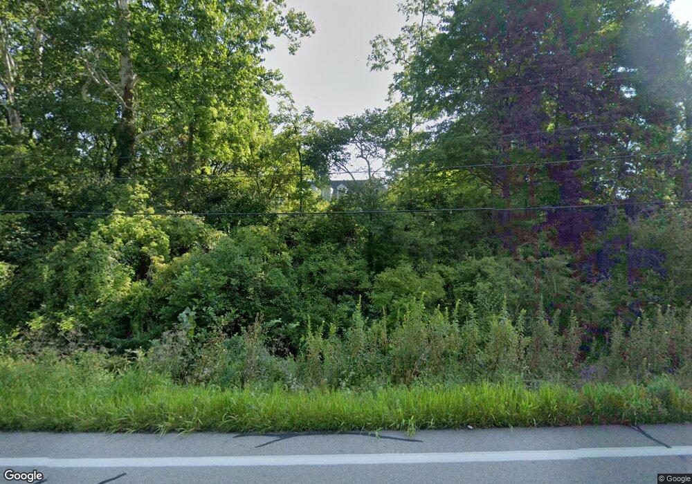
1028 N State Route 123 Lebanon, OH 45036
Turtlecreek Township NeighborhoodEstimated Value: $442,811 - $478,000
4
Beds
3
Baths
2,082
Sq Ft
$222/Sq Ft
Est. Value
About This Home
This home is located at 1028 N State Route 123, Lebanon, OH 45036 and is currently estimated at $462,203, approximately $221 per square foot. 1028 N State Route 123 is a home located in Warren County with nearby schools including Bowman Primary School, Berry Intermediate School, and Donovan Elementary School.
Ownership History
Date
Name
Owned For
Owner Type
Purchase Details
Closed on
Dec 16, 1994
Sold by
Sellers Jesse W
Bought by
Sellers William D
Current Estimated Value
Home Financials for this Owner
Home Financials are based on the most recent Mortgage that was taken out on this home.
Original Mortgage
$90,000
Interest Rate
9.06%
Mortgage Type
New Conventional
Create a Home Valuation Report for This Property
The Home Valuation Report is an in-depth analysis detailing your home's value as well as a comparison with similar homes in the area
Home Values in the Area
Average Home Value in this Area
Purchase History
| Date | Buyer | Sale Price | Title Company |
|---|---|---|---|
| Sellers William D | $23,900 | -- |
Source: Public Records
Mortgage History
| Date | Status | Borrower | Loan Amount |
|---|---|---|---|
| Closed | Sellers William D | $90,000 |
Source: Public Records
Tax History Compared to Growth
Tax History
| Year | Tax Paid | Tax Assessment Tax Assessment Total Assessment is a certain percentage of the fair market value that is determined by local assessors to be the total taxable value of land and additions on the property. | Land | Improvement |
|---|---|---|---|---|
| 2024 | $4,485 | $112,950 | $26,880 | $86,070 |
| 2023 | $4,035 | $91,805 | $15,498 | $76,307 |
| 2022 | $3,985 | $91,805 | $15,498 | $76,307 |
| 2021 | $3,697 | $91,805 | $15,498 | $76,307 |
| 2020 | $3,635 | $74,638 | $12,600 | $62,038 |
| 2019 | $4,048 | $74,638 | $12,600 | $62,038 |
| 2018 | $3,714 | $74,638 | $12,600 | $62,038 |
| 2017 | $3,709 | $67,169 | $11,382 | $55,787 |
| 2016 | $3,825 | $67,169 | $11,382 | $55,787 |
| 2015 | $3,845 | $67,169 | $11,382 | $55,787 |
| 2014 | $3,664 | $60,680 | $10,430 | $50,260 |
| 2013 | $3,235 | $73,060 | $12,250 | $60,810 |
Source: Public Records
Map
Nearby Homes
- 711 Tollhouse Blvd
- 743 Tollhouse Blvd
- 714 Tollhouse Blvd
- 470 Pleasant Ridge Dr
- 416 Summerlyn Farms Ct
- 660 Carson Dr
- 5101 Greenview Ln
- 470 Georgetown Dr
- 759 Lake Bluff (Lot 12) Ct
- 755 Lake Bluff (Lot 11) Ct
- 743 Lake Bluff Ct
- 747 Lake Bluff (Lot 9) Ct
- 764 Lake Bluff (Lot 1) Ct
- 751 Lake Bluff Ct
- 760 Lake Bluff (Lot 2) Ct
- 740 Lake Bluff (Lot 7) Ct
- 756 Lake Bluff (Lot 3) Ct
- 748 Lake Bluff (Lot 5) Ct
- 744 Ct
- 96 Rough Way
- 1028 N State Route 123
- 1028 N State Route 123
- 990 N State Route 123
- 1067 Ohio 123 Unit 1113
- 1067 Ohio 123
- 1067 N State Route 123
- A Franklin Rd
- 1750 Greentree Rd
- 1850 Greentree Rd Unit 205
- 1132 N State Route 123
- 1790 Greentree Rd
- 1790 Greentree Rd Unit 3
- 1883 Greentree Rd
- 1881 Greentree Rd
- 1820 Greentree Rd
- 1820 Greentree Rd Unit 1
- 849 N State Route 123
- 1810 Greentree Rd
- 1833 Greentree Rd Unit 187
- 1887 Greentree Rd
