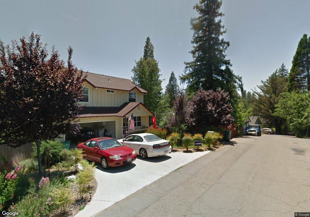
1028 Simon Dr Placerville, CA 95667
Estimated Value: $379,000 - $473,000
3
Beds
2
Baths
120
Sq Ft
$3,494/Sq Ft
Est. Value
About This Home
This home is located at 1028 Simon Dr, Placerville, CA 95667 and is currently estimated at $419,240, approximately $3,493 per square foot. 1028 Simon Dr is a home located in El Dorado County with nearby schools including El Dorado High School and El Dorado Adventist School.
Ownership History
Date
Name
Owned For
Owner Type
Purchase Details
Closed on
Sep 18, 2001
Sold by
Alexander Benjamin Wallis and Alexander Deborah
Bought by
Hammond Norman and Hammond Sandy
Current Estimated Value
Home Financials for this Owner
Home Financials are based on the most recent Mortgage that was taken out on this home.
Original Mortgage
$99,225
Outstanding Balance
$44,839
Interest Rate
9.2%
Estimated Equity
$374,401
Purchase Details
Closed on
Jul 10, 2000
Sold by
Alexander Benjamin Wallis
Bought by
Alexander Benjamin Wallis and Alexander Deborah
Purchase Details
Closed on
Mar 7, 1997
Sold by
Clark Gary James and Clark Lori A
Bought by
Alexander Benjamin Wallis
Home Financials for this Owner
Home Financials are based on the most recent Mortgage that was taken out on this home.
Original Mortgage
$97,936
Interest Rate
7.9%
Mortgage Type
FHA
Create a Home Valuation Report for This Property
The Home Valuation Report is an in-depth analysis detailing your home's value as well as a comparison with similar homes in the area
Home Values in the Area
Average Home Value in this Area
Purchase History
| Date | Buyer | Sale Price | Title Company |
|---|---|---|---|
| Hammond Norman | $189,000 | Placer Title Company | |
| Alexander Benjamin Wallis | -- | -- | |
| Alexander Benjamin Wallis | $99,500 | Placer Title Company |
Source: Public Records
Mortgage History
| Date | Status | Borrower | Loan Amount |
|---|---|---|---|
| Open | Hammond Norman | $99,225 | |
| Previous Owner | Alexander Benjamin Wallis | $97,936 |
Source: Public Records
Tax History
| Year | Tax Paid | Tax Assessment Tax Assessment Total Assessment is a certain percentage of the fair market value that is determined by local assessors to be the total taxable value of land and additions on the property. | Land | Improvement |
|---|---|---|---|---|
| 2025 | $2,834 | $279,181 | $75,328 | $203,853 |
| 2024 | $2,834 | $273,707 | $73,851 | $199,856 |
| 2023 | $2,800 | $268,341 | $72,403 | $195,938 |
| 2022 | $2,759 | $263,081 | $70,984 | $192,097 |
| 2021 | $2,726 | $257,924 | $69,593 | $188,331 |
| 2020 | $2,685 | $255,280 | $68,880 | $186,400 |
| 2019 | $2,651 | $250,276 | $67,530 | $182,746 |
| 2018 | $2,570 | $245,369 | $66,206 | $179,163 |
| 2017 | $2,531 | $240,558 | $64,908 | $175,650 |
| 2016 | $2,491 | $235,842 | $63,636 | $172,206 |
| 2015 | $2,375 | $232,301 | $62,681 | $169,620 |
| 2014 | $2,375 | $227,753 | $61,454 | $166,299 |
Source: Public Records
Map
Nearby Homes
- 0 Trails End Dr Unit 225117516
- 8325 County Rd M44
- 3032 Lewis St
- 901 Union St
- 3095 Cedar Ravine Rd
- 678 Main St
- 910 Reservoir St
- 3113 Clark St
- 3124 Clark St
- 2921 Miller Way
- 813 Blue Bell Ct
- 850 Blue Bell Ct
- 818 Blue Bell Ct
- 1094 Estey Ct
- 3166 Cedar Ravine Rd
- 949 Bliss Ct
- 2968 Coloma St
- 0 Big Cut Rd Unit 225072888
- 2977 Mosquito Rd
- 2660 Clay St
- 1036 Simon Dr
- 1024 Simon Dr
- 1044 Simon Dr
- 2985 Clay St
- 2-Acres Homestead Dr
- 9500 Kiefer Blvd
- 0 Top Hand Court - Vacant Land Unit 225013965
- 0 Top Hand Court - Vacant Land Unit 224056943
- 0 Cottontail Rd Unit 224038653
- 0 Combellack Unit 223118819
- 0 Finch St Unit 223115272
- 0 Trails End Dr Unit 223089438
- 0 Highway 193 Unit 122003622
- 4539 Park Woods Dr
- 0 Cotton Tail Rd Unit 223048044
- 10122 Bucks Bar Ct
- 3 Acres
- 0 Pidemont Ln Unit 223016287
- 6001 Out Brendan
- 40 Thirty Milstone Tract
Your Personal Tour Guide
Ask me questions while you tour the home.