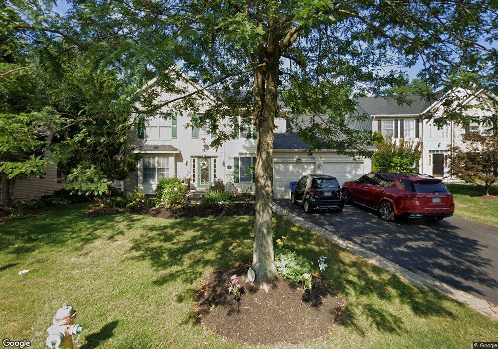
1029 Bexhill Dr Frederick, MD 21702
Taskers Chance NeighborhoodEstimated Value: $581,000 - $610,000
Studio
3
Baths
2,376
Sq Ft
$248/Sq Ft
Est. Value
About This Home
This home is located at 1029 Bexhill Dr, Frederick, MD 21702 and is currently estimated at $590,047, approximately $248 per square foot. 1029 Bexhill Dr is a home located in Frederick County with nearby schools including Lincoln Elementary School, West Frederick Middle School, and Frederick High School.
Ownership History
Date
Name
Owned For
Owner Type
Purchase Details
Closed on
Mar 30, 2017
Sold by
Bustos Maria R and Gonzalez Albin L
Bought by
Bustos Maria R and Gonzalez Albin L
Current Estimated Value
Purchase Details
Closed on
Nov 24, 2004
Sold by
Parthasarathy Narayanan and Parthasarathy Uma
Bought by
Bustos Maria R and Gonzalez Saturnina Romani Albin L
Purchase Details
Closed on
Oct 11, 2002
Sold by
Admar Custom Homes Inc
Bought by
Parthasarathy Narayanan and Parthasarathy Uma
Create a Home Valuation Report for This Property
The Home Valuation Report is an in-depth analysis detailing your home's value as well as a comparison with similar homes in the area
Home Values in the Area
Average Home Value in this Area
Purchase History
| Date | Buyer | Sale Price | Title Company |
|---|---|---|---|
| Bustos Maria R | -- | None Available | |
| Bustos Maria R | $392,500 | -- | |
| Parthasarathy Narayanan | $266,269 | -- |
Source: Public Records
Mortgage History
| Date | Status | Borrower | Loan Amount |
|---|---|---|---|
| Closed | Parthasarathy Narayanan | -- |
Source: Public Records
Tax History
| Year | Tax Paid | Tax Assessment Tax Assessment Total Assessment is a certain percentage of the fair market value that is determined by local assessors to be the total taxable value of land and additions on the property. | Land | Improvement |
|---|---|---|---|---|
| 2025 | $7,024 | $511,400 | $95,000 | $416,400 |
| 2024 | $7,024 | $454,667 | $0 | $0 |
| 2023 | $6,548 | $397,933 | $0 | $0 |
| 2022 | $6,142 | $341,200 | $95,000 | $246,200 |
| 2021 | $5,683 | $328,733 | $0 | $0 |
| 2020 | $5,683 | $316,267 | $0 | $0 |
| 2019 | $5,459 | $303,800 | $77,000 | $226,800 |
| 2018 | $5,507 | $303,800 | $77,000 | $226,800 |
| 2017 | $5,452 | $303,800 | $0 | $0 |
| 2016 | $4,804 | $307,600 | $0 | $0 |
| 2015 | $4,804 | $291,967 | $0 | $0 |
| 2014 | $4,804 | $276,333 | $0 | $0 |
Source: Public Records
Map
Nearby Homes
- 1191 Codorus St
- 214 Savage Rd
- 1891 Shookstown Rd
- 1204 Conewago Dr
- 111 Cavenrock Ct
- 1864 Murdock Ct
- 120 Burgess Hill Way Unit 207
- 1311 Sandoval Ct
- 306 Baughmans Ln
- 1601 Colonial Way
- 1330 Hampshire Dr
- 330 Furgeson Ln
- 196 Key Pkwy
- 124 Key Pkwy
- 722 Iron Forge Rd
- 720 Iron Forge Rd
- 716 Iron Forge Rd
- 1600 Blacksmith Way
- 714 Iron Forge Rd
- 116 Whiskey Creek Cir
- 1031 Bexhill Dr
- 1027 Bexhill Dr
- 1025 Bexhill Dr
- 1033 Bexhill Dr
- 1026 Bexhill Dr
- 1024 Bexhill Dr
- 1035 Bexhill Dr
- 1028 Bexhill Dr
- 1023 Bexhill Dr
- 1032 Bexhill Dr
- 1030 Bexhill Dr
- 1022 Bexhill Dr
- 1021 Bexhill Dr
- 1714 Shookstown Rd
- 1020 Bexhill Dr
- 230 Thames Dr
- 1025 Lindfield Dr
- 1023 Lindfield Dr
- 1029 Lindfield Dr
- 234 Thames Dr
Your Personal Tour Guide
Ask me questions while you tour the home.