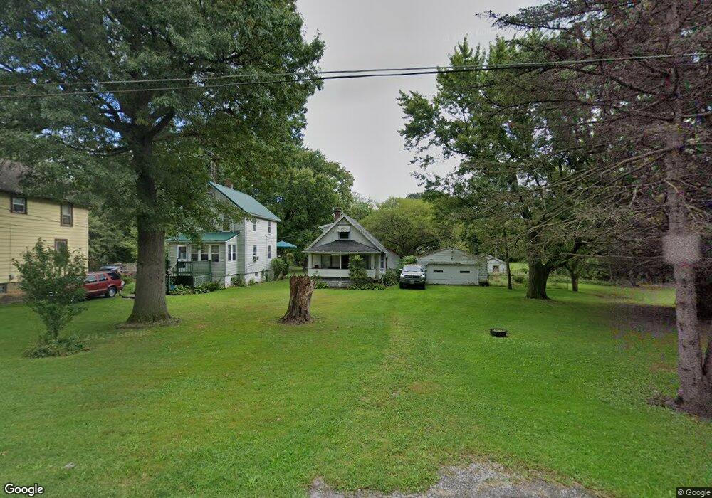
1029 Devon Ave Youngstown, OH 44505
Landsdowne NeighborhoodEstimated Value: $46,096 - $78,000
About This Home
This home is located at 1029 Devon Ave, Youngstown, OH 44505 and is currently estimated at $59,774, approximately $81 per square foot. 1029 Devon Ave is a home located in Mahoning County with nearby schools including M.L. King Elementary School, Williamson Elementary School, and East High School.
Ownership History
We collect this data history from publicly available records. To have your information removed, we recommend requesting removal directly through your county’s website.
Purchase Details
Purchase Details
Home Values in the Area
Average Home Value in this Area
Purchase History
We collect this data history from publicly available records. To have your information removed, we recommend requesting removal directly through your county’s website.
| Date | Buyer | Sale Price | Title Company |
|---|---|---|---|
| $4,200 | Commonwealth Suburban Title | ||
| -- | -- |
Tax History
We collect this data history from publicly available records. To have your information removed, we recommend requesting removal directly through your county’s website.
| Year | Tax Paid | Tax Assessment Tax Assessment Total Assessment is a certain percentage of the fair market value that is determined by local assessors to be the total taxable value of land and additions on the property. | Land | Improvement |
|---|---|---|---|---|
| 2025 | $166 | $3,790 | $350 | $3,440 |
| 2024 | $188 | $3,790 | $350 | $3,440 |
| 2023 | $186 | $3,790 | $350 | $3,440 |
| 2022 | $127 | $1,970 | $300 | $1,670 |
| 2021 | $127 | $1,970 | $300 | $1,670 |
| 2020 | $128 | $1,970 | $300 | $1,670 |
| 2019 | $134 | $1,820 | $280 | $1,540 |
| 2018 | $135 | $1,820 | $280 | $1,540 |
| 2017 | $132 | $1,820 | $280 | $1,540 |
| 2016 | $196 | $2,920 | $280 | $2,640 |
| 2015 | $192 | $2,920 | $280 | $2,640 |
| 2014 | $191 | $2,920 | $280 | $2,640 |
| 2013 | $183 | $2,920 | $280 | $2,640 |
Map
- 913 Kenneth St
- 2156 McGuffey Rd
- 819 Lyden Ave
- 2500 Rosewood Ave
- 828 Miami St
- 578 Dean Ave
- 836 Stiles Ave
- 0 Stewart Ave
- 2849 McGuffey Rd
- 0 Ridley Ave Unit 5210638
- 557 Sunshine Ave
- 940 Katherine Ave
- 1251 Jacobs Rd
- 1214 Brighton St
- 1720 Jacobs Rd
- 1945 Nair St
- 1125 N Garland Ave
- 146 Greeley Ln
- 2980 Bauker Ln
- V/L Jacobs Rd
- 1035 Devon Ave
- 1039 Devon Ave
- 1017 Devon Ave
- 1032 Alden Ave
- 1028 Alden Ave
- 1026 Devon Ave
- 2358 McGuffey Rd
- 2360 McGuffey Rd
- 2320 McGuffey Rd
- 2368 McGuffey Rd
- 1023 Alden Ave
- 1035 Alden Ave
- 2318 McGuffey Rd
- 2312 McGuffey Rd
- 1035 N Gray Ave
- 1027 N Gray Ave
- 1047 Alden Ave
- 1045 N Gray Ave
- 1040 Manley St
- 1048 Manley St
Ask me questions while you tour the home.