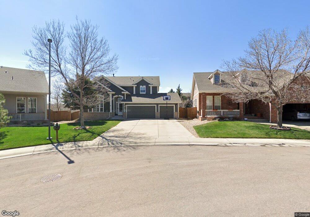
10295 Riverstone Dr Parker, CO 80134
Estimated Value: $759,000 - $794,000
4
Beds
5
Baths
3,325
Sq Ft
$234/Sq Ft
Est. Value
About This Home
This home is located at 10295 Riverstone Dr, Parker, CO 80134 and is currently estimated at $777,568, approximately $233 per square foot. 10295 Riverstone Dr is a home located in Douglas County with nearby schools including Cherokee Trail Elementary School, Sierra Middle School, and Chaparral High School.
Ownership History
Date
Name
Owned For
Owner Type
Purchase Details
Closed on
Mar 1, 2023
Sold by
Parker Darin and Parker Michelle
Bought by
Parker Darin and Parker Michelle
Current Estimated Value
Purchase Details
Closed on
Jul 16, 2013
Sold by
Kain Dale R and Kain Natalie
Bought by
Strabala Michelle and Parker Darin
Home Financials for this Owner
Home Financials are based on the most recent Mortgage that was taken out on this home.
Original Mortgage
$385,200
Interest Rate
3.99%
Mortgage Type
New Conventional
Purchase Details
Closed on
Jun 25, 1998
Sold by
Weekley Homes Lp
Bought by
Kain Dale R and Kain Natalie
Home Financials for this Owner
Home Financials are based on the most recent Mortgage that was taken out on this home.
Original Mortgage
$185,000
Interest Rate
7.08%
Purchase Details
Closed on
Nov 11, 1997
Sold by
Stonegate Westerra
Bought by
Weekley Homes
Create a Home Valuation Report for This Property
The Home Valuation Report is an in-depth analysis detailing your home's value as well as a comparison with similar homes in the area
Home Values in the Area
Average Home Value in this Area
Purchase History
| Date | Buyer | Sale Price | Title Company |
|---|---|---|---|
| Parker Darin | -- | None Listed On Document | |
| Strabala Michelle | $433,000 | Land Title Guarantee Company | |
| Kain Dale R | $235,000 | Stewart Title | |
| Weekley Homes | $92,700 | -- |
Source: Public Records
Mortgage History
| Date | Status | Borrower | Loan Amount |
|---|---|---|---|
| Previous Owner | Strabala Michelle | $385,200 | |
| Previous Owner | Kain Dale R | $185,000 |
Source: Public Records
Tax History Compared to Growth
Tax History
| Year | Tax Paid | Tax Assessment Tax Assessment Total Assessment is a certain percentage of the fair market value that is determined by local assessors to be the total taxable value of land and additions on the property. | Land | Improvement |
|---|---|---|---|---|
| 2024 | $5,561 | $55,610 | $10,610 | $45,000 |
| 2023 | $5,609 | $55,610 | $10,610 | $45,000 |
| 2022 | $4,163 | $37,710 | $7,090 | $30,620 |
| 2021 | $4,281 | $37,710 | $7,090 | $30,620 |
| 2020 | $4,072 | $36,780 | $8,450 | $28,330 |
| 2019 | $3,974 | $36,780 | $8,450 | $28,330 |
| 2018 | $3,625 | $33,100 | $7,650 | $25,450 |
| 2017 | $3,419 | $33,100 | $7,650 | $25,450 |
| 2016 | $3,423 | $32,620 | $6,410 | $26,210 |
| 2015 | $3,489 | $32,620 | $6,410 | $26,210 |
| 2014 | $3,127 | $26,360 | $6,220 | $20,140 |
Source: Public Records
Map
Nearby Homes
- 10318 Severance Dr
- 10505 Berthoud Way
- 17351 Cornerstone Dr
- 10607 Clarke Farms Dr
- 17235 Opal Hill Dr
- 10107 Riverstone Dr
- 17130 Opal Hill Dr
- 17071 Knollside Ave
- 17046 Wellington Dr
- 10371 Knollside Dr
- 17109 Campion Way
- 11626 Masonville Dr
- 11613 Masonville Dr
- 10414 Stonewillow Dr
- 10787 Twenty Mile Rd Unit 305
- 17050 E Wiley Place
- 16745 Rockledge Cove
- 10907 Baxter Dr
- 10251 Hedge Ln
- 17033 Numa Place
- 10289 Riverstone Dr
- 10294 Amethyst Way
- 17510 Holyoke Ct
- 10283 Riverstone Dr
- 10286 Amethyst Way
- 17508 Holyoke Ct
- 10285 Amethyst Way
- 10279 Riverstone Dr
- 10278 Amethyst Way
- 17506 Holyoke Ct
- 10275 Amethyst Way
- 10271 Riverstone Dr
- 17511 Holyoke Ct
- 10270 Amethyst Way
- 17504 Holyoke Ct
- 10272 Riverstone Dr
- 10267 Amethyst Way
- 10265 Riverstone Dr
- 10301 Severance Dr
- 10260 Amethyst Way