Estimated Value: $206,000 - $295,000
3
Beds
2
Baths
1,387
Sq Ft
$182/Sq Ft
Est. Value
About This Home
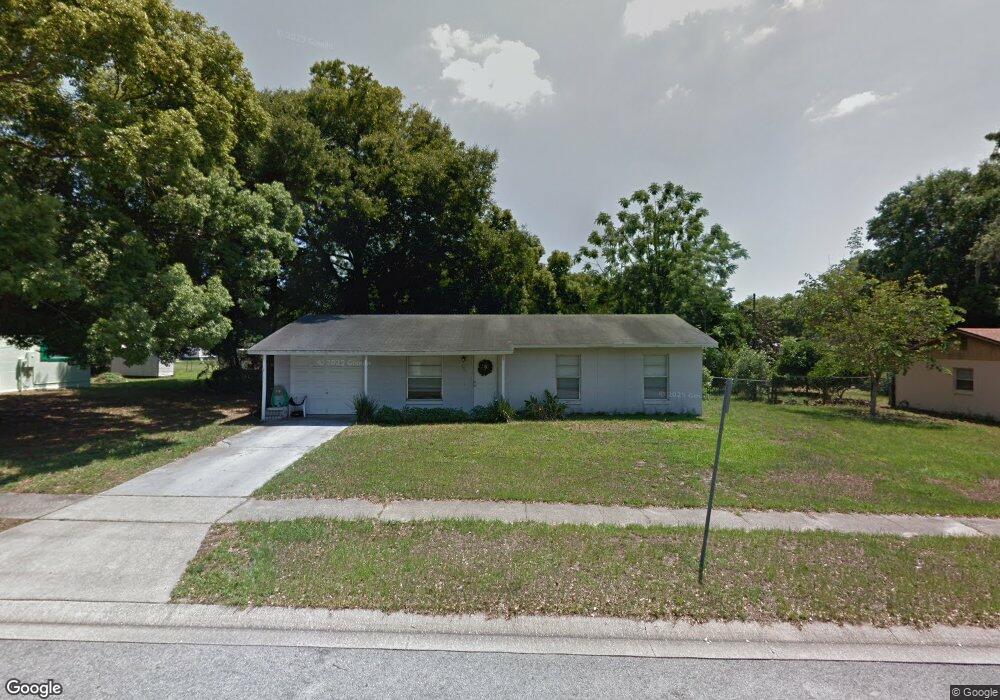
This home is located at 103 Burnt Tree Ct, Ocoee, FL 34761 and is currently estimated at $253,094, approximately $182 per square foot. 103 Burnt Tree Ct is a home located in Orange County with nearby schools including Ocoee Elementary School, Ocoee Middle School, and Ocoee High School.
Ownership History
Date
Name
Owned For
Owner Type
Purchase Details
Closed on
Sep 30, 2009
Sold by
Stewart John E and Stewart Jessica
Bought by
Hance Florence E
Current Estimated Value
Home Financials for this Owner
Home Financials are based on the most recent Mortgage that was taken out on this home.
Original Mortgage
$77,494
Outstanding Balance
$50,680
Interest Rate
5.11%
Mortgage Type
New Conventional
Estimated Equity
$202,414
Purchase Details
Closed on
Jul 29, 2005
Sold by
Tagliente Frank and Fox Maria Antoinette
Bought by
Stewart John E and Stewart Jessica
Home Financials for this Owner
Home Financials are based on the most recent Mortgage that was taken out on this home.
Original Mortgage
$163,706
Interest Rate
5.57%
Mortgage Type
FHA
Create a Home Valuation Report for This Property
The Home Valuation Report is an in-depth analysis detailing your home's value as well as a comparison with similar homes in the area
Home Values in the Area
Average Home Value in this Area
Purchase History
| Date | Buyer | Sale Price | Title Company |
|---|---|---|---|
| Hance Florence E | $72,000 | Treasure Title Ins Agency In | |
| Stewart John E | $165,000 | North American Title Company |
Source: Public Records
Mortgage History
| Date | Status | Borrower | Loan Amount |
|---|---|---|---|
| Open | Hance Florence E | $77,494 | |
| Previous Owner | Stewart John E | $163,706 |
Source: Public Records
Tax History
| Year | Tax Paid | Tax Assessment Tax Assessment Total Assessment is a certain percentage of the fair market value that is determined by local assessors to be the total taxable value of land and additions on the property. | Land | Improvement |
|---|---|---|---|---|
| 2025 | $1,462 | $92,822 | -- | -- |
| 2024 | $1,229 | $90,206 | -- | -- |
| 2023 | $1,229 | $85,111 | $0 | $0 |
| 2022 | $1,173 | $82,632 | $0 | $0 |
| 2021 | $1,148 | $80,225 | $0 | $0 |
| 2020 | $1,090 | $79,117 | $0 | $0 |
| 2019 | $1,118 | $77,338 | $0 | $0 |
| 2018 | $1,097 | $75,896 | $0 | $0 |
| 2017 | $1,089 | $74,335 | $18,000 | $56,335 |
| 2016 | $1,587 | $61,682 | $7,000 | $54,682 |
| 2015 | $1,543 | $59,800 | $7,000 | $52,800 |
| 2014 | $1,403 | $49,396 | $7,000 | $42,396 |
Source: Public Records
Map
Nearby Homes
- 28 Rewis St
- 20 Rewis St
- 1079 N Lakewood Ave
- 12 Lee St
- 600 Hill Ave
- 632 Cardinal St
- 1102 Bellini Ln
- 314 15th Ave
- 319 W Silver Star Rd
- 314 Wurst Rd
- 1236 Russell Dr
- 1500 Adair St
- 702 Carmen Dr
- 1817 Demastus Ln
- 503 Apricot Dr
- 601 Catwood Dr
- 905 Spring Creek Dr
- 1737 N Lakewood Ave
- 1311 Olympia Park Cir
- 1301 Pinewood Ln
- 105 Burnt Tree Ct
- 101 Burnt Tree Ct
- 106 Mobile Ln
- 108 Mobile Ln
- 102 Mobile Ln
- 100 Mobile Ln
- 114 Mobile Ln
- 100 Burnt Tree Ct
- 107 Burnt Tree Ct
- 107 Mobile Ln
- 118 Mobile Ln
- 102 Burnt Tree Ct
- 720 N Lakewood Ave
- 729 N Lakewood Ave
- 109 Mobile Ln
- 815 N Lakewood Ave
- 109 Burnt Tree Ct
- 120 Mobile Ln
- 115 Mobile Ln
- 124 Mobile Ln
Your Personal Tour Guide
Ask me questions while you tour the home.