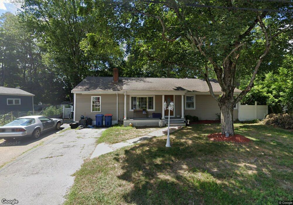
103 Hebron Ave Seekonk, MA 02771
Estimated Value: $446,000 - $548,000
3
Beds
1
Bath
1,456
Sq Ft
$351/Sq Ft
Est. Value
About This Home
This home is located at 103 Hebron Ave, Seekonk, MA 02771 and is currently estimated at $511,436, approximately $351 per square foot. 103 Hebron Ave is a home located in Bristol County with nearby schools including Seekonk High School, St Cecilia School, and Grace Baptist Christian Academy.
Ownership History
Date
Name
Owned For
Owner Type
Purchase Details
Closed on
Jun 21, 1999
Sold by
Bankers Trust Co Of Ca
Bought by
Brown Frederick and Brown Marlene J
Current Estimated Value
Home Financials for this Owner
Home Financials are based on the most recent Mortgage that was taken out on this home.
Original Mortgage
$76,000
Outstanding Balance
$19,945
Interest Rate
6.99%
Mortgage Type
Purchase Money Mortgage
Estimated Equity
$491,491
Purchase Details
Closed on
Jun 10, 1999
Sold by
Boyle Stephen A and Bankers Trust Co Calif
Bought by
Bankers Trust Co Calif
Home Financials for this Owner
Home Financials are based on the most recent Mortgage that was taken out on this home.
Original Mortgage
$76,000
Outstanding Balance
$19,945
Interest Rate
6.99%
Mortgage Type
Purchase Money Mortgage
Estimated Equity
$491,491
Create a Home Valuation Report for This Property
The Home Valuation Report is an in-depth analysis detailing your home's value as well as a comparison with similar homes in the area
Home Values in the Area
Average Home Value in this Area
Purchase History
| Date | Buyer | Sale Price | Title Company |
|---|---|---|---|
| Brown Frederick | $80,000 | -- | |
| Bankers Trust Co Calif | $81,000 | -- |
Source: Public Records
Mortgage History
| Date | Status | Borrower | Loan Amount |
|---|---|---|---|
| Open | Bankers Trust Co Calif | $17,000 | |
| Open | Bankers Trust Co Calif | $76,000 | |
| Previous Owner | Bankers Trust Co Calif | $61,000 |
Source: Public Records
Tax History Compared to Growth
Tax History
| Year | Tax Paid | Tax Assessment Tax Assessment Total Assessment is a certain percentage of the fair market value that is determined by local assessors to be the total taxable value of land and additions on the property. | Land | Improvement |
|---|---|---|---|---|
| 2025 | $5,108 | $413,600 | $144,300 | $269,300 |
| 2024 | $4,897 | $396,500 | $144,300 | $252,200 |
| 2023 | $4,662 | $355,600 | $122,500 | $233,100 |
| 2022 | $4,052 | $316,900 | $117,300 | $199,600 |
| 2021 | $4,052 | $298,600 | $102,900 | $195,700 |
| 2020 | $3,908 | $296,700 | $103,100 | $193,600 |
| 2019 | $3,718 | $284,700 | $98,300 | $186,400 |
| 2018 | $3,609 | $270,300 | $95,600 | $174,700 |
| 2017 | $3,531 | $262,300 | $93,200 | $169,100 |
| 2016 | $3,465 | $258,400 | $93,200 | $165,200 |
| 2015 | $3,355 | $253,600 | $93,200 | $160,400 |
Source: Public Records
Map
Nearby Homes
- 100 Oak Hill Ave
- 97 Hebron Ave
- 92 Hebron Ave
- 86 Oakhill Ave
- 104 Hebron Ave
- 86 Oak Hill Ave
- 0 Hebron Ave
- 98 Hebron Ave
- 16 Bourne Ave
- 16 Bourne Ave
- 85 Oak Hill Ave
- 91 Oak Hill Ave
- 91 Oak Hill Ave Unit 1
- 97 Oak Hill Ave
- 111 Oak Hill Ave
- 85 Oakhill Ave
- 2 Bourne Ave
- 4 Bourne Ave
- 4 Bourne Ave Unit 2
- 4 Bourne Ave Unit 3