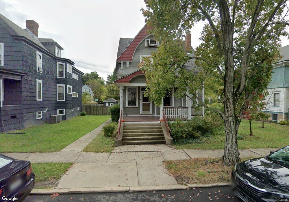
103 Maple Ave Wheeling, WV 26003
Woodsdale-Edgewood NeighborhoodEstimated Value: $274,000 - $296,000
2
Beds
2
Baths
2,472
Sq Ft
$115/Sq Ft
Est. Value
About This Home
This home is located at 103 Maple Ave, Wheeling, WV 26003 and is currently estimated at $285,093, approximately $115 per square foot. 103 Maple Ave is a home located in Ohio County with nearby schools including Wheeling Park High School, Wheeling Country Day School, and St. Michael Parish School.
Ownership History
Date
Name
Owned For
Owner Type
Purchase Details
Closed on
Jun 23, 2022
Sold by
Railing Ann R
Bought by
Huffman James C
Current Estimated Value
Home Financials for this Owner
Home Financials are based on the most recent Mortgage that was taken out on this home.
Original Mortgage
$190,000
Outstanding Balance
$180,464
Interest Rate
5.23%
Mortgage Type
New Conventional
Estimated Equity
$104,629
Create a Home Valuation Report for This Property
The Home Valuation Report is an in-depth analysis detailing your home's value as well as a comparison with similar homes in the area
Home Values in the Area
Average Home Value in this Area
Purchase History
| Date | Buyer | Sale Price | Title Company |
|---|---|---|---|
| Huffman James C | $220,000 | Gompers John E | |
| Huffman James C | $220,000 | Gompers John E |
Source: Public Records
Mortgage History
| Date | Status | Borrower | Loan Amount |
|---|---|---|---|
| Open | Huffman James C | $190,000 | |
| Closed | Huffman James C | $190,000 |
Source: Public Records
Tax History
| Year | Tax Paid | Tax Assessment Tax Assessment Total Assessment is a certain percentage of the fair market value that is determined by local assessors to be the total taxable value of land and additions on the property. | Land | Improvement |
|---|---|---|---|---|
| 2025 | $2,028 | $136,080 | $28,140 | $107,940 |
| 2024 | $2,028 | $131,220 | $28,140 | $103,080 |
| 2023 | $1,943 | $131,220 | $28,140 | $103,080 |
| 2022 | $1,955 | $130,620 | $28,140 | $102,480 |
| 2021 | $1,919 | $128,220 | $28,140 | $100,080 |
| 2020 | $1,915 | $128,220 | $28,140 | $100,080 |
| 2019 | $1,902 | $125,940 | $27,480 | $98,460 |
| 2018 | $1,752 | $123,540 | $27,480 | $96,060 |
| 2017 | $1,738 | $120,180 | $27,480 | $92,700 |
| 2016 | $1,657 | $114,900 | $27,060 | $87,840 |
| 2015 | $1,570 | $111,600 | $24,720 | $86,880 |
| 2014 | $1,570 | $108,660 | $23,220 | $85,440 |
Source: Public Records
Map
Nearby Homes
- 103 Edgwood St
- 98 Edgewood St
- 9 Poplar Ave
- 30 Haddale Ave
- 184 Edgwood St
- 46 Lynwood Ave
- 22 Laurel Ave
- 129 Edgington Ln
- 9 Hazlett Ct
- 3 High St
- 99 Lynwood Ave
- 12 Forest Hills Dr
- 10 Greenwood Ave
- 307 Townhouse Rd
- 40 Homewood Ave
- 27 Greenwood Ave
- 30 Rush Ave
- 13 Pallister Rd
- 17 Fieldcrest Dr
- 1451 Nottaway Dr
Your Personal Tour Guide
Ask me questions while you tour the home.