103 Marthas Rd Edgartown, MA 02539
Edgartown NeighborhoodEstimated Value: $1,772,000 - $4,036,000
3
Beds
4
Baths
3,400
Sq Ft
$861/Sq Ft
Est. Value
About This Home
This home is located at 103 Marthas Rd, Edgartown, MA 02539 and is currently estimated at $2,928,608, approximately $861 per square foot. 103 Marthas Rd is a home located in Dukes County with nearby schools including Edgartown Elementary School and Martha's Vineyard Regional High School.
Ownership History
Date
Name
Owned For
Owner Type
Purchase Details
Closed on
Apr 22, 2011
Sold by
Upham Philip M and Upham Alice M
Bought by
Bull Jonathan and Bull Nichole
Current Estimated Value
Home Financials for this Owner
Home Financials are based on the most recent Mortgage that was taken out on this home.
Original Mortgage
$625,500
Outstanding Balance
$33,842
Interest Rate
4.9%
Mortgage Type
Purchase Money Mortgage
Estimated Equity
$2,894,766
Create a Home Valuation Report for This Property
The Home Valuation Report is an in-depth analysis detailing your home's value as well as a comparison with similar homes in the area
Home Values in the Area
Average Home Value in this Area
Purchase History
| Date | Buyer | Sale Price | Title Company |
|---|---|---|---|
| Bull Jonathan | $915,000 | -- |
Source: Public Records
Mortgage History
| Date | Status | Borrower | Loan Amount |
|---|---|---|---|
| Open | Bull Jonathan | $625,500 |
Source: Public Records
Tax History
| Year | Tax Paid | Tax Assessment Tax Assessment Total Assessment is a certain percentage of the fair market value that is determined by local assessors to be the total taxable value of land and additions on the property. | Land | Improvement |
|---|---|---|---|---|
| 2025 | $7,108 | $2,682,300 | $571,200 | $2,111,100 |
| 2024 | $5,897 | $2,312,700 | $571,200 | $1,741,500 |
| 2023 | $5,956 | $2,363,400 | $589,500 | $1,773,900 |
| 2022 | $5,785 | $1,909,400 | $589,500 | $1,319,900 |
| 2021 | $5,997 | $1,828,400 | $508,500 | $1,319,900 |
| 2020 | $5,227 | $1,560,200 | $467,300 | $1,092,900 |
| 2019 | $6,236 | $1,611,300 | $453,500 | $1,157,800 |
| 2018 | $5,449 | $1,408,000 | $412,300 | $995,700 |
| 2017 | $3,863 | $1,088,300 | $274,900 | $813,400 |
| 2016 | $3,711 | $1,025,000 | $274,900 | $750,100 |
| 2015 | $3,184 | $917,500 | $274,900 | $642,600 |
Source: Public Records
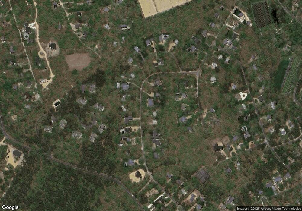
Map
Nearby Homes
- 7 Meetinghouse Village Way
- 7 Marthas Rd
- 357 W Tisbury Rd
- 2 Old Farms Trail Unit 1
- 2 Old Farms Trail
- 114 Meeting House Way
- 114 Meeting House Way
- 501 W Tisbury Rd Unit 2.1
- 501 W Tisbury Rd
- 15 & 27 Pennywise Path Unit 33
- 4
- 8 Court St
- 5 Louis Field Rd Unit 121.3
- 5 Louis Field Rd
- 42 Road To the Plains
- 11A Duarte Cir
- 19 Kitts Field Cir
- 35 Mariners Way
- 21 Clay Pit Rd
- 6 Janes Cove Rd
- 105 Marthas Rd
- 101 Marthas Rd
- 99 Marthas Rd
- 102 Marthas Rd
- 109 Marthas Rd
- 104 Marthas Rd
- 106 Marthas Rd
- 97 Marthas Rd
- 97 Marthas Rd
- 108 Marthas Rd
- 8 Cormorant Cir
- 110 Marthas Rd
- 10 Cormorant Cir
- 100 Marthas Rd
- 6 Cormorant Cir
- 12 Cormorant Cir
- 95 Marthas Rd
- 6 Gray Gull Cir
- 98 Marthas Rd
- 4 Cormorant Cir
Your Personal Tour Guide
Ask me questions while you tour the home.