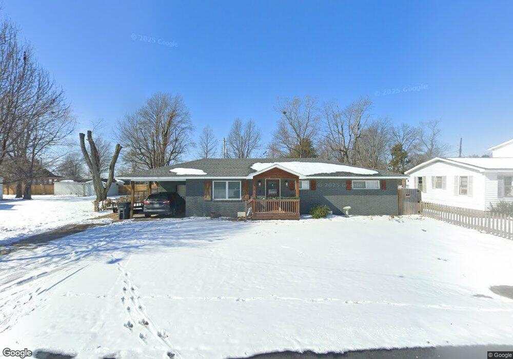
103 N Davis St Matthews, MO 63867
Estimated Value: $102,000 - $113,367
3
Beds
1
Bath
1,188
Sq Ft
$90/Sq Ft
Est. Value
About This Home
This home is located at 103 N Davis St, Matthews, MO 63867 and is currently estimated at $107,456, approximately $90 per square foot. 103 N Davis St is a home with nearby schools including Central High School.
Ownership History
Date
Name
Owned For
Owner Type
Purchase Details
Closed on
Jun 18, 2025
Sold by
Wolford Tyler
Bought by
It Wolford Properties Llc
Current Estimated Value
Purchase Details
Closed on
May 5, 2021
Sold by
Wolford Denver and Wolford Cheryl
Bought by
Wolford Tyler C
Home Financials for this Owner
Home Financials are based on the most recent Mortgage that was taken out on this home.
Original Mortgage
$73,600
Interest Rate
3.1%
Mortgage Type
New Conventional
Purchase Details
Closed on
Sep 22, 2020
Sold by
Hevens Sandra Elizabeth and Sloat Timothy
Bought by
Wolford Denver and Wolford Cheryl
Purchase Details
Closed on
May 22, 2018
Sold by
Yount Carmela and Mcintyre Larita J
Bought by
Bibben Reba Suzanne Van and Bibber Reba Suzanne Van
Create a Home Valuation Report for This Property
The Home Valuation Report is an in-depth analysis detailing your home's value as well as a comparison with similar homes in the area
Home Values in the Area
Average Home Value in this Area
Purchase History
| Date | Buyer | Sale Price | Title Company |
|---|---|---|---|
| It Wolford Properties Llc | -- | None Listed On Document | |
| Wolford Tyler C | -- | Semo Title | |
| Wolford Denver | -- | Semo Title | |
| Bibben Reba Suzanne Van | -- | None Available |
Source: Public Records
Mortgage History
| Date | Status | Borrower | Loan Amount |
|---|---|---|---|
| Previous Owner | Wolford Tyler C | $73,600 |
Source: Public Records
Tax History Compared to Growth
Tax History
| Year | Tax Paid | Tax Assessment Tax Assessment Total Assessment is a certain percentage of the fair market value that is determined by local assessors to be the total taxable value of land and additions on the property. | Land | Improvement |
|---|---|---|---|---|
| 2024 | $466 | $9,800 | $800 | $9,000 |
| 2023 | $459 | $9,600 | $0 | $0 |
| 2022 | $426 | $8,970 | $760 | $8,210 |
| 2021 | $426 | $8,970 | $0 | $0 |
| 2020 | $306 | $6,700 | $0 | $0 |
| 2019 | $306 | $6,400 | $800 | $5,600 |
| 2018 | $295 | $6,180 | $0 | $0 |
| 2016 | -- | $6,180 | $0 | $0 |
| 2015 | -- | $6,180 | $0 | $0 |
| 2014 | -- | $6,180 | $0 | $0 |
| 2011 | -- | $0 | $0 | $0 |
Source: Public Records
Map
Nearby Homes
- 103 N Calvin St
- 506 W Main St
- 100 Summit St
- 139 Pharris Ridge Dr
- 116 Hospitality Dr
- 55 Delmo St
- 16 Bon Secour Ave
- 1608 County Road 711
- 1201 Yosemite
- Off County Line Road 832
- 109 Stallcup Dr
- 807 Bollweevil Blvd
- 801 Bollweevil Blvd
- 811 Bollweevil Blvd
- 809 Bollweevil Blvd
- 803 Bollweevil Blvd
- 811 Cotton Ridge Dr
- 800 Cotton Ridge Dr
- 810 Cotton Ridge Dr
- 804 Cotton Ridge Dr
- 109 N Davis St
- 105 N Davis St
- 101 N Davis St
- 401 W Main St
- 101 Ridgeview Dr
- 103 Ridgeview Dr
- 303 W Main St
- 403 W Main St
- 105 Ridgeview Dr
- 101 N Calvin St
- 0 Ridgeview Dr
- 111 N Davis St
- 107 Ridgeview Dr
- 304 Main St
- 306 W Main St
- 308 W Main St
- 102 Ridgeview Dr
- 100 Ridgeview Dr
- 202 S Calvin Ave
- 109 Ridgeview Dr