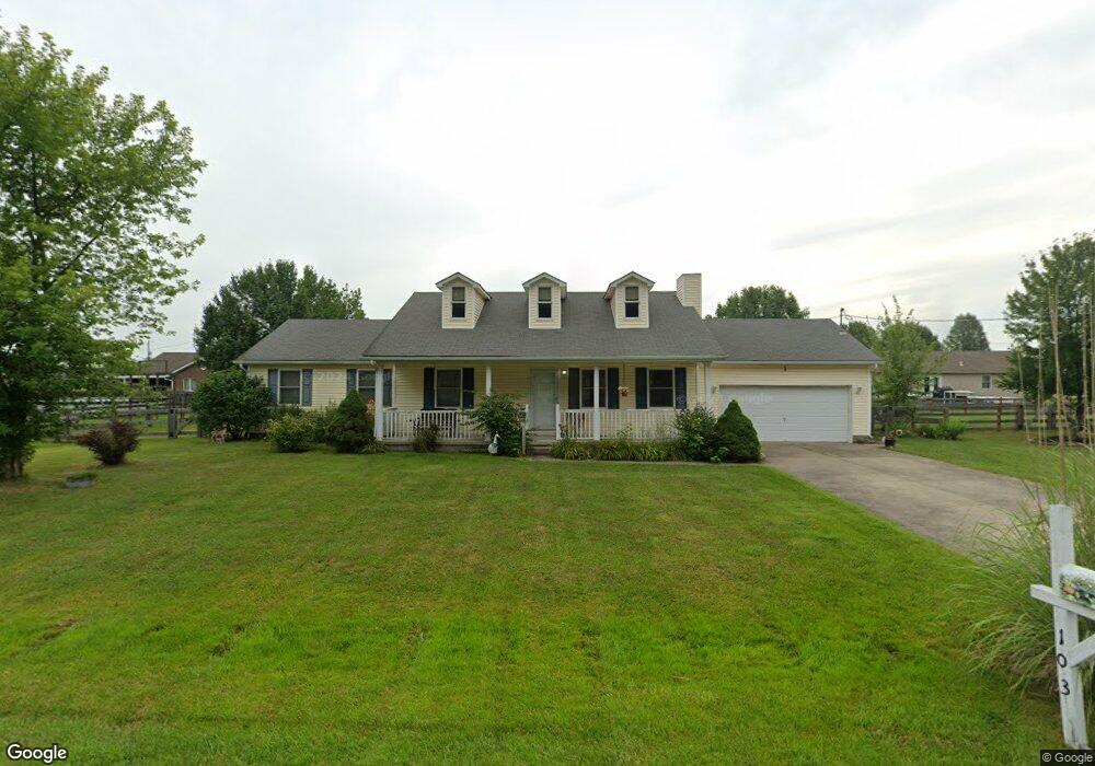
103 Stone Trace Dr Mount Orab, OH 45154
Estimated Value: $190,000 - $328,000
Studio
--
Bath
--
Sq Ft
1,742
Sq Ft Lot
About This Home
This home is located at 103 Stone Trace Dr, Mount Orab, OH 45154 and is currently estimated at $258,959. 103 Stone Trace Dr is a home located in Brown County with nearby schools including Western Brown High School.
Ownership History
Date
Name
Owned For
Owner Type
Purchase Details
Closed on
Dec 4, 2025
Sold by
Mulloy Elsie F
Bought by
Centers Dennis Wayne and Centers Dorothea Rose
Current Estimated Value
Home Financials for this Owner
Home Financials are based on the most recent Mortgage that was taken out on this home.
Original Mortgage
$166,500
Outstanding Balance
$166,342
Interest Rate
6.24%
Mortgage Type
New Conventional
Estimated Equity
$92,617
Purchase Details
Closed on
May 13, 2011
Sold by
Shepherd Kenneth B and Shepherd Lori A
Bought by
Mulloy Elsie F
Home Financials for this Owner
Home Financials are based on the most recent Mortgage that was taken out on this home.
Original Mortgage
$120,856
Interest Rate
4.91%
Mortgage Type
FHA
Purchase Details
Closed on
Jan 10, 2007
Sold by
Shepherd Kenneth B and Shepherd Lori A
Bought by
Shepherd Kenneth B and Shepherd Lori A
Purchase Details
Closed on
Jul 20, 2004
Sold by
Clifton Builders Llc
Bought by
Shepherd Kenneth B and Shepherd Lori A
Home Financials for this Owner
Home Financials are based on the most recent Mortgage that was taken out on this home.
Original Mortgage
$96,800
Interest Rate
6.25%
Mortgage Type
Purchase Money Mortgage
Create a Home Valuation Report for This Property
The Home Valuation Report is an in-depth analysis detailing your home's value as well as a comparison with similar homes in the area
Home Values in the Area
Average Home Value in this Area
Purchase History
| Date | Buyer | Sale Price | Title Company |
|---|---|---|---|
| Centers Dennis Wayne | $284,500 | None Listed On Document | |
| Mulloy Elsie F | $124,000 | Attorney | |
| Shepherd Kenneth B | -- | Attorney | |
| Shepherd Kenneth B | $121,000 | All Ohio Title |
Source: Public Records
Mortgage History
| Date | Status | Borrower | Loan Amount |
|---|---|---|---|
| Open | Centers Dennis Wayne | $166,500 | |
| Previous Owner | Mulloy Elsie F | $120,856 | |
| Previous Owner | Shepherd Kenneth B | $96,800 | |
| Closed | Shepherd Kenneth B | $24,200 |
Source: Public Records
Tax History
| Year | Tax Paid | Tax Assessment Tax Assessment Total Assessment is a certain percentage of the fair market value that is determined by local assessors to be the total taxable value of land and additions on the property. | Land | Improvement |
|---|---|---|---|---|
| 2024 | $34 | $1,050 | $1,050 | $0 |
| 2023 | $34 | $920 | $920 | $0 |
| 2022 | $32 | $920 | $920 | $0 |
| 2021 | $31 | $920 | $920 | $0 |
| 2020 | $27 | $770 | $770 | $0 |
| 2019 | $29 | $770 | $770 | $0 |
| 2018 | $28 | $770 | $770 | $0 |
| 2017 | $26 | $700 | $700 | $0 |
| 2016 | $27 | $700 | $700 | $0 |
| 2015 | $26 | $700 | $700 | $0 |
| 2014 | $26 | $700 | $700 | $0 |
| 2013 | $26 | $700 | $700 | $0 |
Source: Public Records
Map
Nearby Homes
- 106 Nathans Ln
- 105 Maple Ridge Ave
- 3387 Trabecca Ln
- 0 State Route 32 Unit 1795308
- 13523 Lake Grant Rd
- 411 Smith Ave
- 329 E Main St
- 100 Robin Ave
- 317 Robin Ave
- 506 E Main St
- 422 Liming Farm Rd
- 3738 Lake Grant Access Rd
- 2437 Tri County Hwy
- 0 Donley Rd Unit 1859270
- 208 Gregory St
- 214 Gregory St
- 108 Lonny St
- 106 Lonny St
- Fairton Plan at Glover Meadows
- Chatham Plan at Glover Meadows
- 104 Boulder Dr
- 105 Stone Trace Dr
- 101 Stone Trace Dr
- 106 Boulder Dr
- 102 Stone Trace Dr
- 106 Stone Trace Dr
- 102 Boulder Dr
- 107 Stone Trace Dr
- 103 Boulder Dr
- 101 Boulder Dr
- 101 Boulder Dr
- 108 Stone Trace Dr
- 105 Boulder Dr
- 209 Boyd Rd
- 14200 Boyd Rd
- 107 Boulder Dr
- 109 Stone Trace Dr
- 110 Boulder Dr
- 14190 Boyd Rd
- 110 Stone Trace Dr