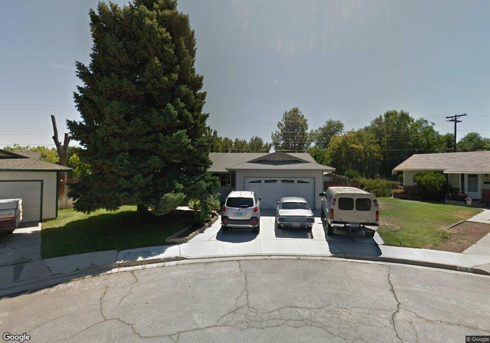
103 York Way Sparks, NV 89431
McCarran Boulevard-Probasco NeighborhoodEstimated Value: $433,000 - $461,000
4
Beds
3
Baths
1,400
Sq Ft
$317/Sq Ft
Est. Value
About This Home
This home is located at 103 York Way, Sparks, NV 89431 and is currently estimated at $443,983, approximately $317 per square foot. 103 York Way is a home located in Washoe County with nearby schools including Florence Drake Elementary School, George L Dilworth Middle School, and Sparks High School.
Ownership History
Date
Name
Owned For
Owner Type
Purchase Details
Closed on
Apr 4, 2001
Sold by
Stein Daniel R and Stein Deborah
Bought by
Stein Daniel R
Current Estimated Value
Home Financials for this Owner
Home Financials are based on the most recent Mortgage that was taken out on this home.
Original Mortgage
$103,000
Interest Rate
7.19%
Create a Home Valuation Report for This Property
The Home Valuation Report is an in-depth analysis detailing your home's value as well as a comparison with similar homes in the area
Home Values in the Area
Average Home Value in this Area
Purchase History
| Date | Buyer | Sale Price | Title Company |
|---|---|---|---|
| Stein Daniel R | -- | Founders Title Co |
Source: Public Records
Mortgage History
| Date | Status | Borrower | Loan Amount |
|---|---|---|---|
| Closed | Stein Daniel R | $103,000 |
Source: Public Records
Tax History Compared to Growth
Tax History
| Year | Tax Paid | Tax Assessment Tax Assessment Total Assessment is a certain percentage of the fair market value that is determined by local assessors to be the total taxable value of land and additions on the property. | Land | Improvement |
|---|---|---|---|---|
| 2025 | $1,226 | $59,546 | $36,715 | $22,831 |
| 2024 | $1,226 | $57,226 | $34,755 | $22,471 |
| 2023 | $1,192 | $55,727 | $34,930 | $20,797 |
| 2022 | $1,157 | $45,405 | $28,455 | $16,950 |
| 2021 | $1,124 | $36,153 | $19,635 | $16,518 |
| 2020 | $1,090 | $34,065 | $17,850 | $16,215 |
| 2019 | $1,058 | $35,076 | $18,725 | $16,351 |
| 2018 | $1,024 | $30,134 | $13,545 | $16,589 |
| 2017 | $998 | $29,279 | $12,075 | $17,204 |
| 2016 | $973 | $29,627 | $11,550 | $18,077 |
| 2015 | $256 | $28,216 | $9,415 | $18,801 |
| 2014 | $944 | $26,639 | $7,980 | $18,659 |
| 2013 | -- | $24,879 | $5,985 | $18,894 |
Source: Public Records
Map
Nearby Homes
- 119 Devere Way
- 1940 4th St Unit 20
- 1940 4th St Unit 51
- 10 Sheridan Way
- 1945 4th St Unit 32
- 1945 4th St Unit 33
- 1945 4th St Unit 10
- 1703 1st St
- 8 E O St
- 465 Lenwood Dr
- 120 E Lenwood Dr
- 2865 Patrice Dr
- 3245 Elaine Way
- 3071 Meadowlands Dr
- 780 Emerson Way
- 1705 9th St
- 300 I St
- 1023 Tyler Way
- 370 O'Brien Way
- 1003 Sbragia Way