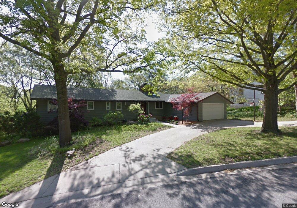
1030 Avalon Rd Lawrence, KS 66044
Estimated Value: $477,000 - $620,000
3
Beds
3
Baths
2,820
Sq Ft
$195/Sq Ft
Est. Value
About This Home
This home is located at 1030 Avalon Rd, Lawrence, KS 66044 and is currently estimated at $550,774, approximately $195 per square foot. 1030 Avalon Rd is a home located in Douglas County with nearby schools including Hillcrest Elementary School, West Middle School, and Lawrence Free State High School.
Ownership History
Date
Name
Owned For
Owner Type
Purchase Details
Closed on
Jun 28, 2006
Sold by
Stein Richard M and Howe Mary L
Bought by
Colombo John and Walker Dale
Current Estimated Value
Home Financials for this Owner
Home Financials are based on the most recent Mortgage that was taken out on this home.
Original Mortgage
$351,405
Outstanding Balance
$208,736
Interest Rate
6.66%
Mortgage Type
Purchase Money Mortgage
Estimated Equity
$342,038
Create a Home Valuation Report for This Property
The Home Valuation Report is an in-depth analysis detailing your home's value as well as a comparison with similar homes in the area
Purchase History
| Date | Buyer | Sale Price | Title Company |
|---|---|---|---|
| Colombo John | -- | First American Title |
Source: Public Records
Mortgage History
| Date | Status | Borrower | Loan Amount |
|---|---|---|---|
| Open | Colombo John | $351,405 |
Source: Public Records
Tax History
| Year | Tax Paid | Tax Assessment Tax Assessment Total Assessment is a certain percentage of the fair market value that is determined by local assessors to be the total taxable value of land and additions on the property. | Land | Improvement |
|---|---|---|---|---|
| 2025 | $8,068 | $64,262 | $13,800 | $50,462 |
| 2024 | $7,572 | $60,364 | $10,120 | $50,244 |
| 2023 | $6,988 | $54,027 | $8,625 | $45,402 |
| 2022 | $7,014 | $53,832 | $8,625 | $45,207 |
| 2021 | $6,197 | $46,230 | $6,900 | $39,330 |
| 2020 | $6,094 | $45,698 | $6,900 | $38,798 |
| 2019 | $5,796 | $43,521 | $6,672 | $36,849 |
| 2018 | $5,622 | $41,920 | $6,324 | $35,596 |
| 2017 | $5,634 | $41,538 | $6,324 | $35,214 |
| 2016 | $5,378 | $41,412 | $6,900 | $34,512 |
| 2015 | $5,379 | $41,412 | $6,900 | $34,512 |
| 2014 | $5,413 | $42,079 | $6,900 | $35,179 |
Source: Public Records
Map
Nearby Homes
- 1029 Highland Dr
- 2127 Orchard Ln
- 1321 Raintree Place
- 2407 Yale Rd
- 2124 Terrace Rd
- 817 Maine St
- 737 Maine St
- 726 Missouri St
- 2609 Westdale Rd
- 800 Madeline Ln
- 614 Alabama St
- 728 Indiana St
- 347 Florida St
- 2915 W 7th St
- 333 Florida St
- 3009 W 8th St
- 320 Florida St Unit 1 & 2
- 1801 Missouri St
- 1508 W 3rd St
- 1008 Lawrence Ave
Your Personal Tour Guide
Ask me questions while you tour the home.