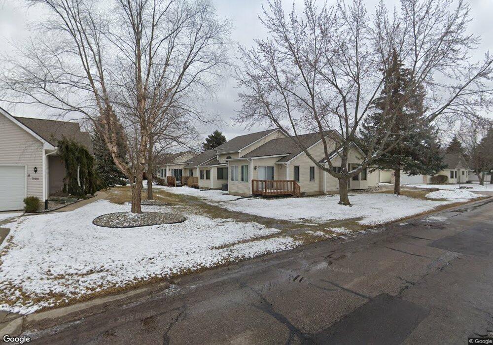
1030 Carla Blvd Unit 141 Davison, MI 48423
Estimated Value: $228,000 - $257,715
--
Bed
--
Bath
1,284
Sq Ft
$189/Sq Ft
Est. Value
About This Home
This home is located at 1030 Carla Blvd Unit 141, Davison, MI 48423 and is currently estimated at $242,679, approximately $189 per square foot. 1030 Carla Blvd Unit 141 is a home located in Genesee County with nearby schools including Thomson Elementary School, Hill Elementary School, and Gates Elementary School.
Ownership History
Date
Name
Owned For
Owner Type
Purchase Details
Closed on
Nov 13, 2012
Sold by
Koryciak Louis R and Koryciak Anne D
Bought by
Koryciak Louis R and Koryciak Anne D
Current Estimated Value
Purchase Details
Closed on
Jul 14, 2003
Sold by
Brasher Joseph and Brasher Mary
Bought by
Koryciak Louis R and Koryciak Anne D
Home Financials for this Owner
Home Financials are based on the most recent Mortgage that was taken out on this home.
Original Mortgage
$35,000
Interest Rate
6.03%
Mortgage Type
Purchase Money Mortgage
Create a Home Valuation Report for This Property
The Home Valuation Report is an in-depth analysis detailing your home's value as well as a comparison with similar homes in the area
Home Values in the Area
Average Home Value in this Area
Purchase History
| Date | Buyer | Sale Price | Title Company |
|---|---|---|---|
| Koryciak Louis R | -- | None Available | |
| Koryciak Louis R | $160,000 | Lawyers Title |
Source: Public Records
Mortgage History
| Date | Status | Borrower | Loan Amount |
|---|---|---|---|
| Previous Owner | Koryciak Louis R | $35,000 |
Source: Public Records
Tax History Compared to Growth
Tax History
| Year | Tax Paid | Tax Assessment Tax Assessment Total Assessment is a certain percentage of the fair market value that is determined by local assessors to be the total taxable value of land and additions on the property. | Land | Improvement |
|---|---|---|---|---|
| 2025 | $3,075 | $125,800 | $0 | $0 |
| 2024 | $878 | $116,600 | $0 | $0 |
| 2023 | $837 | $107,900 | $0 | $0 |
| 2022 | $2,762 | $95,300 | $0 | $0 |
| 2021 | $2,739 | $86,700 | $0 | $0 |
| 2020 | $766 | $78,300 | $0 | $0 |
| 2019 | $754 | $70,400 | $0 | $0 |
| 2018 | $2,323 | $80,500 | $0 | $0 |
| 2017 | $2,234 | $80,500 | $0 | $0 |
| 2016 | $2,195 | $78,500 | $0 | $0 |
| 2015 | -- | $72,300 | $0 | $0 |
| 2012 | -- | $61,900 | $61,900 | $0 |
Source: Public Records
Map
Nearby Homes
- 1067 Julie Dr
- 9469 Parkwood N Unit 2B
- 9417 Linda Dr
- 9448 Linda Dr
- 00 Lapeer Rd
- 304 S State Rd
- 530 Hemlock Dr
- 334 E Clark St Unit 340 344
- 330 Rosemore Dr
- 405 Viet St
- 0 Cal Dr
- 1120 Crystal Wood Dr
- 1075 Crystal Wood Dr Unit 24
- 1024 Foxglove Ln
- 000 Foxglove Ln
- 10.63(+/-) Acres Lapeer Rd
- 0 Lapeer Rd Unit G50060188
- 0 Lapeer Rd Unit G50047586
- 00 E Lippincott Blvd
- VL E Lippincott Blvd
- 1028 Carla Blvd Unit 140
- 1034 Carla Blvd Unit 142
- 1036 Carla Blvd Unit 143
- 1036 Carla Blvd Unit 51
- 9353 Jamie Dr Unit 25
- 9353 Jamie Dr Unit 7, 25
- 9353 Jamie Dr
- 1031 Carla Blvd
- 1038 Carla Blvd Unit 144
- 9355 Jamie Dr
- 1035 Carla Blvd Unit 28
- 1037 Carla Blvd
- 1040 Carla Blvd
- 9345 Rayna Dr Unit 168
- 9359 Jamie Dr Unit 23
- 403 Delzingro Dr
- 409 Delzingro Dr
- 9353 Rayna Dr
- 333 Delzingro Dr
- 9361 Jamie Dr