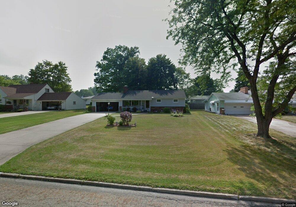
1030 Kirwan Dr Youngstown, OH 44515
Austintown NeighborhoodEstimated Value: $130,000 - $188,000
2
Beds
1
Bath
1,146
Sq Ft
$143/Sq Ft
Est. Value
About This Home
This home is located at 1030 Kirwan Dr, Youngstown, OH 44515 and is currently estimated at $163,363, approximately $142 per square foot. 1030 Kirwan Dr is a home located in Mahoning County with nearby schools including Austintown Elementary School, Austintown Intermediate School, and Austintown Middle School.
Ownership History
Date
Name
Owned For
Owner Type
Purchase Details
Closed on
Aug 4, 2023
Sold by
Laskey Richard A
Bought by
Laskey Andrew and Laskey Chad
Current Estimated Value
Purchase Details
Closed on
Sep 11, 2000
Sold by
Estate Of Eugene A Laskey
Bought by
Haidet Judith E and Calhoun Ruth A
Purchase Details
Closed on
Aug 11, 1993
Bought by
Laskey Eugene A
Create a Home Valuation Report for This Property
The Home Valuation Report is an in-depth analysis detailing your home's value as well as a comparison with similar homes in the area
Home Values in the Area
Average Home Value in this Area
Purchase History
| Date | Buyer | Sale Price | Title Company |
|---|---|---|---|
| Laskey Andrew | -- | -- | |
| Haidet Judith E | -- | -- | |
| Laskey Eugene A | -- | -- |
Source: Public Records
Tax History Compared to Growth
Tax History
| Year | Tax Paid | Tax Assessment Tax Assessment Total Assessment is a certain percentage of the fair market value that is determined by local assessors to be the total taxable value of land and additions on the property. | Land | Improvement |
|---|---|---|---|---|
| 2024 | $1,363 | $39,060 | $7,170 | $31,890 |
| 2023 | $1,365 | $39,060 | $7,170 | $31,890 |
| 2022 | $1,117 | $28,340 | $6,740 | $21,600 |
| 2021 | $1,118 | $28,340 | $6,740 | $21,600 |
| 2020 | $1,122 | $28,340 | $6,740 | $21,600 |
| 2019 | $1,058 | $25,310 | $6,020 | $19,290 |
| 2018 | $1,019 | $25,310 | $6,020 | $19,290 |
| 2017 | $611 | $25,310 | $6,020 | $19,290 |
| 2016 | $1,098 | $26,740 | $6,310 | $20,430 |
| 2015 | $1,066 | $26,740 | $6,310 | $20,430 |
| 2014 | $1,070 | $26,740 | $6,310 | $20,430 |
| 2013 | $1,057 | $26,740 | $6,310 | $20,430 |
Source: Public Records
Map
Nearby Homes
- 3972 Artmar Dr
- 3811 Artmar Dr
- 532 Westgate Blvd
- 4102 Burkey Rd
- 653 S Meridian Rd
- 565 S Meridian Rd
- 1560 S Meridian Rd
- 3890 Ayrshire Dr
- 902 S Meridian Rd
- 252 Rosemont Ave
- 263 S Main St
- 3852 Edinburgh Dr
- 4234 Burkey Rd
- 4262 Pembrook Rd
- 3210 Quentin Dr
- 136 Rosemont Ave
- 3828 Oakleigh Ave
- 4235 Patricia Ave
- 404 S Bon Air Ave
- 208 S Roanoke Ave
- 1022 Kirwan Dr
- 1038 Kirwan Dr
- 3931 Artmar Dr
- 3937 Artmar Dr
- 1014 Kirwan Dr
- 1046 Kirwan Dr
- 1027 Kirwan Dr
- 1035 Kirwan Dr
- 1019 Kirwan Dr
- 3919 Artmar Dr
- 1006 Kirwan Dr
- 1043 Kirwan Dr
- 3943 Artmar Dr
- 1011 Kirwan Dr
- 1054 Kirwan Dr
- 3913 Artmar Dr
- 1003 Kirwan Dr
- 1051 Kirwan Dr
- 1044 Collins Ave
- 3936 Artmar Dr