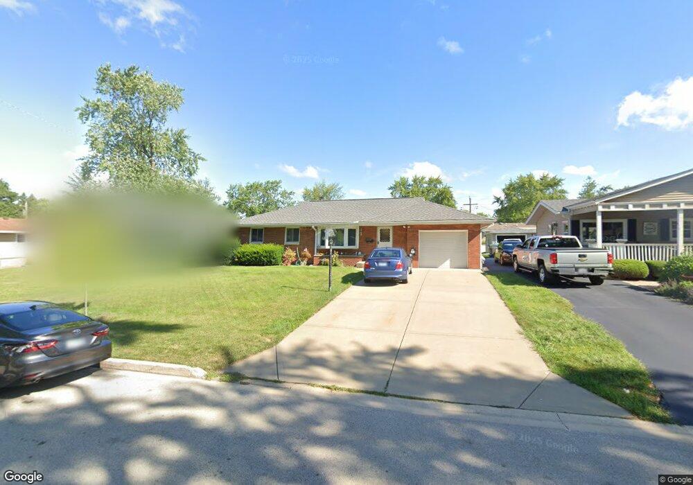
1030 Maple Ct Unit 5B Lockport, IL 60441
Estimated Value: $283,000 - $343,000
--
Bed
--
Bath
--
Sq Ft
7,841
Sq Ft Lot
About This Home
This home is located at 1030 Maple Ct Unit 5B, Lockport, IL 60441 and is currently estimated at $317,841. 1030 Maple Ct Unit 5B is a home located in Will County with nearby schools including Milne Grove Elementary School, Kelvin Grove Jr High School, and Lockport Township High School East.
Ownership History
Date
Name
Owned For
Owner Type
Purchase Details
Closed on
Jun 30, 1995
Sold by
Lesnik William C and Sudar Mary
Bought by
Bean Alan G and Bean Kimberly B
Current Estimated Value
Home Financials for this Owner
Home Financials are based on the most recent Mortgage that was taken out on this home.
Original Mortgage
$109,250
Interest Rate
7.88%
Create a Home Valuation Report for This Property
The Home Valuation Report is an in-depth analysis detailing your home's value as well as a comparison with similar homes in the area
Home Values in the Area
Average Home Value in this Area
Purchase History
| Date | Buyer | Sale Price | Title Company |
|---|---|---|---|
| Bean Alan G | $115,000 | Chicago Title Insurance Co |
Source: Public Records
Mortgage History
| Date | Status | Borrower | Loan Amount |
|---|---|---|---|
| Closed | Bean Alan G | $109,250 |
Source: Public Records
Tax History Compared to Growth
Tax History
| Year | Tax Paid | Tax Assessment Tax Assessment Total Assessment is a certain percentage of the fair market value that is determined by local assessors to be the total taxable value of land and additions on the property. | Land | Improvement |
|---|---|---|---|---|
| 2024 | $7,610 | $96,642 | $23,568 | $73,074 |
| 2023 | $7,610 | $86,760 | $21,158 | $65,602 |
| 2022 | $6,898 | $80,930 | $19,736 | $61,194 |
| 2021 | $6,529 | $76,055 | $18,547 | $57,508 |
| 2020 | $6,359 | $73,554 | $17,937 | $55,617 |
| 2019 | $6,034 | $69,720 | $17,002 | $52,718 |
| 2018 | $5,733 | $65,091 | $15,873 | $49,218 |
| 2017 | $5,510 | $61,447 | $14,984 | $46,463 |
| 2016 | $5,667 | $61,593 | $15,020 | $46,573 |
| 2015 | $5,573 | $58,604 | $14,291 | $44,313 |
| 2014 | $5,573 | $56,897 | $13,875 | $43,022 |
| 2013 | $5,573 | $58,058 | $14,158 | $43,900 |
Source: Public Records
Map
Nearby Homes
- 930 E 8th St
- 701 E 7th St
- 1212 Grandview Ave
- 1105 E Division St Unit 1B
- 613 E 3rd St
- 818 E 11th St
- 605 Gloria St
- 1526 Peachtree Ln
- 1525 Peachtree Ln Unit 2
- 602 Stephanie Dr
- 1108 E 9th St
- 540 E 4th St
- 17340 Lucerne Ct
- 1513 Connor Ave
- 1022 Highland Ave
- 134 S Jefferson St
- 17009 Mendota Dr
- 1623 East St
- 814 S Washington St
- 308 Macgregor Rd