1030 Ramsey Ln McComb, MS 39648
Estimated Value: $71,134 - $79,000
--
Bed
--
Bath
651
Sq Ft
$115/Sq Ft
Est. Value
About This Home
This home is located at 1030 Ramsey Ln, McComb, MS 39648 and is currently estimated at $75,067, approximately $115 per square foot. 1030 Ramsey Ln is a home with nearby schools including Eva Gordon Lower Elementary School, Osyka Elementary School, and South Pike Junior High School.
Ownership History
Date
Name
Owned For
Owner Type
Purchase Details
Closed on
Jun 27, 2022
Sold by
Allain Paul W and Allain Cheryl B
Bought by
Seaberry Londa M and Seaberry Eddie
Current Estimated Value
Purchase Details
Closed on
Sep 26, 2018
Sold by
Fonton Christopher Charles
Bought by
Allain Paul W and Allain Cheryl B
Purchase Details
Closed on
May 16, 2005
Sold by
Magee Chuck
Bought by
Allain Paul W and Allain Cheryl B
Home Financials for this Owner
Home Financials are based on the most recent Mortgage that was taken out on this home.
Original Mortgage
$22,938
Interest Rate
5.98%
Mortgage Type
Unknown
Create a Home Valuation Report for This Property
The Home Valuation Report is an in-depth analysis detailing your home's value as well as a comparison with similar homes in the area
Home Values in the Area
Average Home Value in this Area
Purchase History
| Date | Buyer | Sale Price | Title Company |
|---|---|---|---|
| Seaberry Londa M | -- | None Listed On Document | |
| Allain Paul W | -- | None Available | |
| Allain Paul W | -- | None Available |
Source: Public Records
Mortgage History
| Date | Status | Borrower | Loan Amount |
|---|---|---|---|
| Previous Owner | Allain Paul W | $22,938 |
Source: Public Records
Tax History Compared to Growth
Tax History
| Year | Tax Paid | Tax Assessment Tax Assessment Total Assessment is a certain percentage of the fair market value that is determined by local assessors to be the total taxable value of land and additions on the property. | Land | Improvement |
|---|---|---|---|---|
| 2025 | $70 | $548 | $0 | $0 |
| 2024 | $70 | $537 | $0 | $0 |
| 2023 | $70 | $555 | $0 | $0 |
| 2022 | $104 | $832 | $0 | $0 |
| 2021 | $103 | $853 | $0 | $0 |
| 2020 | $110 | $891 | $0 | $0 |
| 2019 | $111 | $917 | $0 | $0 |
| 2018 | $85 | $4,679 | $0 | $0 |
| 2017 | $558 | $4,679 | $0 | $0 |
| 2016 | $558 | $4,679 | $0 | $0 |
| 2015 | -- | $4,670 | $0 | $0 |
| 2014 | -- | $4,671 | $0 | $0 |
| 2013 | -- | $4,671 | $0 | $0 |
Source: Public Records
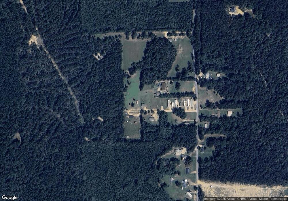
Map
Nearby Homes
- 2108 Joel Lang Rd
- 1031 Beck St
- 4115 Old Hwy 24
- 1074 Pleasant Grove Rd
- 4022 Old Highway 24 Extension
- 4134 U S 98
- 1002 Lawson Rd
- 5089 U S 98
- 1106 Harrison Dr
- 6121 Gibson Rd
- 1041 Fortenberry Cir
- 0 Gibson Rd and Fortenberry Cir Unit 4128519
- Tbd Union Church Rd Unit LotWP001
- 2139 Union Church Rd
- 7020 Gibson Rd
- 2159 Oakdale Rd
- 3092 Airport Fernwood Rd
- X Wild Estate
- ... Biltmore Dr
- No Integrity Rd
- 2073 Joel Lang Rd
- 2099 Joel Lang Rd
- 1029 Ramsey Ln
- 2117 Joel Lang Rd
- 1004 Ramsey Ln
- 00000 Joel Lang
- 2082 Joel Lang Rd
- 2145 Joel Lang Rd
- lot 16 Clearview Dr E
- 2027 Joel Lang Rd
- 1022 Clearview Drive Ea St
- 2036 Joel Lang Rd
- 2031 Joel Lang Rd
- 2025 Joel Lang Rd
- 3176 Joel Lang Rd
- 1019 Gatlin Ln
- 1021 Gatlin Ln E
- 2019 Joel Lang Rd
- 3198 Gibson Rd
- 3182 Gibson Rd