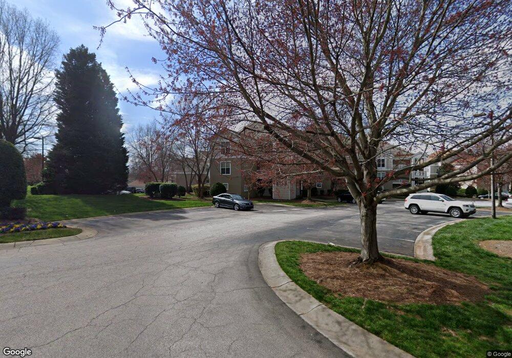
1031 Southwest Dr Unit 31 Davidson, NC 28036
Estimated Value: $531,000 - $579,000
2
Beds
2
Baths
1,209
Sq Ft
$457/Sq Ft
Est. Value
About This Home
This home is located at 1031 Southwest Dr Unit 31, Davidson, NC 28036 and is currently estimated at $552,098, approximately $456 per square foot. 1031 Southwest Dr Unit 31 is a home located in Mecklenburg County with nearby schools including Davidson Elementary School, William Amos Hough High School, and Davidson Day School.
Ownership History
Date
Name
Owned For
Owner Type
Purchase Details
Closed on
May 31, 2006
Sold by
Phelps Stephen and Phelps Carolyn
Bought by
Beacham Jean G
Current Estimated Value
Purchase Details
Closed on
Jun 23, 2000
Sold by
Cole A J A and Cole Jane
Bought by
Phelps Stephen F and Phelps Carolyn J
Home Financials for this Owner
Home Financials are based on the most recent Mortgage that was taken out on this home.
Original Mortgage
$146,500
Interest Rate
7.87%
Mortgage Type
Purchase Money Mortgage
Create a Home Valuation Report for This Property
The Home Valuation Report is an in-depth analysis detailing your home's value as well as a comparison with similar homes in the area
Home Values in the Area
Average Home Value in this Area
Purchase History
| Date | Buyer | Sale Price | Title Company |
|---|---|---|---|
| Beacham Jean G | $238,000 | None Available | |
| Phelps Stephen F | $146,500 | -- |
Source: Public Records
Mortgage History
| Date | Status | Borrower | Loan Amount |
|---|---|---|---|
| Previous Owner | Phelps Stephen F | $146,500 |
Source: Public Records
Tax History Compared to Growth
Tax History
| Year | Tax Paid | Tax Assessment Tax Assessment Total Assessment is a certain percentage of the fair market value that is determined by local assessors to be the total taxable value of land and additions on the property. | Land | Improvement |
|---|---|---|---|---|
| 2025 | $3,134 | $411,824 | -- | $411,824 |
| 2024 | $3,134 | $411,824 | -- | $411,824 |
| 2023 | $3,088 | $411,824 | $0 | $411,824 |
| 2022 | $2,489 | $260,100 | $0 | $260,100 |
| 2021 | $2,458 | $260,100 | $0 | $260,100 |
| 2020 | $2,398 | $260,100 | $0 | $260,100 |
| 2019 | $2,452 | $260,100 | $0 | $260,100 |
| 2018 | $2,444 | $200,900 | $70,000 | $130,900 |
| 2017 | $2,426 | $200,900 | $70,000 | $130,900 |
| 2016 | $2,422 | $200,900 | $70,000 | $130,900 |
| 2015 | -- | $200,900 | $70,000 | $130,900 |
| 2014 | $2,417 | $200,900 | $70,000 | $130,900 |
Source: Public Records
Map
Nearby Homes
- 1018 Southwest Dr Unit 18
- 1125 Torrence Cir Unit 67
- 765 Southwest Dr Unit 15
- 854 Southwest Dr Unit 54
- 725 Southwest Dr Unit 25
- 719 Southwest Dr Unit 19
- 1238 Torrence Cir
- 941 Southwest Dr Unit 41
- 1331 Torrence Cir Unit 1331
- 907 Southwest Dr Unit 7
- 657 Portside Dr
- 795 Peninsula Dr
- 368 Northwest Dr
- 706 Northeast Dr
- 714 Northeast Dr Unit 53
- 930 Jetton St
- 950 Jetton St Unit 3
- 208 Ambleside Village Ln
- 522 Jetton St Unit 49
- 245 Davidson Gateway Dr
- 1032 Southwest Dr
- 1032 Southwest Dr Unit 32
- 1040 Southwest Dr Unit 40
- 1035 Southwest Dr Unit III35
- 1034 Southwest Dr Unit 34
- 1106 Torrence Cir
- 1105 Torrence Cir Unit 53
- 1108 Torrence Cir Unit 56
- 1037 Southwest Dr Unit 37
- 1111 Torrence Cir Unit 59
- 1112 Torrence Cir
- 1112 Torrence Cir Unit 1112
- 1107 Torrence Cir Unit 55 BLDG 1 U/F 3
- 1104 Torrence Cir Unit 52
- 1114 Torrence Cir
- 1103 Torrence Cir Unit 51
- 1118 Torrence Cir
- 1113 Torrence Cir Unit 61
- 1020 Southwest Dr Unit 20
- 1115 Torrence Cir Unit 63