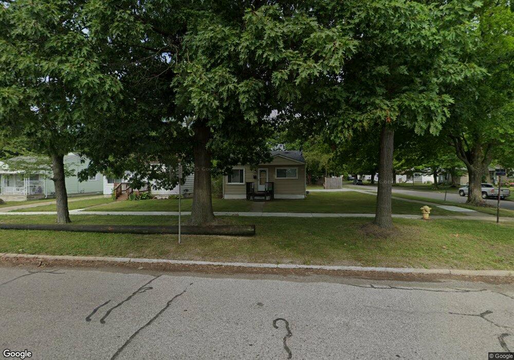
1032 Arlene Ave Pontiac, MI 48340
Estimated Value: $86,000 - $143,000
2
Beds
1
Bath
738
Sq Ft
$165/Sq Ft
Est. Value
About This Home
This home is located at 1032 Arlene Ave, Pontiac, MI 48340 and is currently estimated at $121,782, approximately $165 per square foot. 1032 Arlene Ave is a home located in Oakland County with nearby schools including Rogers Elementary, Pontiac Middle School, and Pontiac High School.
Ownership History
Date
Name
Owned For
Owner Type
Purchase Details
Closed on
Oct 9, 2020
Sold by
Gargasoulas Konstantinos
Bought by
Gargasoulas Jim K and Gargasoulas Konstantinos
Current Estimated Value
Purchase Details
Closed on
Apr 10, 2007
Sold by
Nationstar Mortgage Llc
Bought by
Gargasoulas Jim K and Patsarika Konstantinos
Purchase Details
Closed on
Nov 10, 1998
Sold by
Savage Angela
Bought by
Rinehart Catherine
Purchase Details
Closed on
Jan 2, 1996
Sold by
Lilley Lois
Bought by
Lilley Lois
Create a Home Valuation Report for This Property
The Home Valuation Report is an in-depth analysis detailing your home's value as well as a comparison with similar homes in the area
Home Values in the Area
Average Home Value in this Area
Purchase History
| Date | Buyer | Sale Price | Title Company |
|---|---|---|---|
| Gargasoulas Jim K | -- | First American Title | |
| Gargasoulas Jim K | $37,000 | E Title Agency Inc | |
| Rinehart Catherine | $62,900 | -- | |
| Lilley Lois | -- | -- |
Source: Public Records
Tax History Compared to Growth
Tax History
| Year | Tax Paid | Tax Assessment Tax Assessment Total Assessment is a certain percentage of the fair market value that is determined by local assessors to be the total taxable value of land and additions on the property. | Land | Improvement |
|---|---|---|---|---|
| 2024 | $1,016 | $35,370 | $0 | $0 |
| 2023 | $969 | $31,810 | $0 | $0 |
| 2022 | $1,004 | $27,930 | $0 | $0 |
| 2021 | $1,175 | $24,290 | $0 | $0 |
| 2020 | $656 | $22,120 | $0 | $0 |
| 2019 | $706 | $19,390 | $0 | $0 |
| 2018 | $673 | $17,310 | $0 | $0 |
| 2017 | $649 | $16,640 | $0 | $0 |
| 2016 | $675 | $14,790 | $0 | $0 |
| 2015 | -- | $12,880 | $0 | $0 |
| 2014 | -- | $11,260 | $0 | $0 |
| 2011 | -- | $17,640 | $0 | $0 |
Source: Public Records
Map
Nearby Homes
- 731 1st Ave
- 778 4th Ave
- 675 E Beverly Ave
- 686 4th Ave
- 720 E Columbia Ave
- 794 Clara Ave
- 614 E Tennyson Ave
- 683 Clara Ave
- 630 E Madison Ave
- 686 Peacock Ave
- 821 Robinwood St
- 627 Wesbrook St
- 663 Lenox Ave
- 973 Kettering Ave
- 790 Parkwood Ave
- 620 Wesbrook St
- 1218 Galloway Cir
- 583 Wesbrook St
- 1336 Ridgeway Blvd
- 1340 Hawkcrest Ln Unit 119