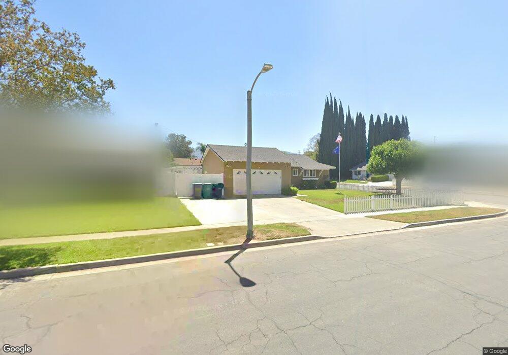
1032 Burr St Corona, CA 92882
Central Corona NeighborhoodEstimated Value: $668,946 - $735,000
4
Beds
2
Baths
1,649
Sq Ft
$427/Sq Ft
Est. Value
About This Home
This home is located at 1032 Burr St, Corona, CA 92882 and is currently estimated at $704,737, approximately $427 per square foot. 1032 Burr St is a home located in Riverside County with nearby schools including Jefferson Elementary School, Letha Raney Intermediate School, and Corona High School.
Ownership History
Date
Name
Owned For
Owner Type
Purchase Details
Closed on
Oct 18, 2020
Sold by
Balandran Robert J and Balandran Eileen R
Bought by
Balandran Robert J and Balandran Eileen R
Current Estimated Value
Home Financials for this Owner
Home Financials are based on the most recent Mortgage that was taken out on this home.
Original Mortgage
$319,000
Interest Rate
2.9%
Mortgage Type
New Conventional
Purchase Details
Closed on
Oct 14, 2016
Sold by
Balandran Robert J and Balandran Eileen R
Bought by
Balandran Robert J and Balandran Eileen R
Create a Home Valuation Report for This Property
The Home Valuation Report is an in-depth analysis detailing your home's value as well as a comparison with similar homes in the area
Home Values in the Area
Average Home Value in this Area
Purchase History
| Date | Buyer | Sale Price | Title Company |
|---|---|---|---|
| Balandran Robert J | -- | Amrock Llc | |
| Balandran Robert J | -- | Amrock Llc | |
| Balandran Robert J | -- | None Available |
Source: Public Records
Mortgage History
| Date | Status | Borrower | Loan Amount |
|---|---|---|---|
| Closed | Balandran Robert J | $319,000 |
Source: Public Records
Tax History
| Year | Tax Paid | Tax Assessment Tax Assessment Total Assessment is a certain percentage of the fair market value that is determined by local assessors to be the total taxable value of land and additions on the property. | Land | Improvement |
|---|---|---|---|---|
| 2025 | $2,682 | $247,874 | $95,333 | $152,541 |
| 2023 | $2,682 | $238,250 | $91,632 | $146,618 |
| 2022 | $2,595 | $233,580 | $89,836 | $143,744 |
| 2021 | $2,542 | $229,001 | $88,075 | $140,926 |
| 2020 | $2,514 | $226,653 | $87,172 | $139,481 |
| 2019 | $2,455 | $222,210 | $85,463 | $136,747 |
| 2018 | $2,399 | $217,854 | $83,788 | $134,066 |
| 2017 | $2,340 | $213,584 | $82,146 | $131,438 |
| 2016 | $2,394 | $209,397 | $80,536 | $128,861 |
| 2015 | $2,342 | $206,253 | $79,327 | $126,926 |
| 2014 | $2,259 | $202,215 | $77,774 | $124,441 |
Source: Public Records
Map
Nearby Homes
- 1127 Via Santiago
- 1121 Iris Cir
- 946 W Kendall St
- 924 Lorna St
- 951 W Kendall St
- 853 W Crestview St
- 1029 Westpark Ln
- 2024 Peony St
- 1221 W 10th St
- 1194 Border Ave Unit A
- 1078 Border Ave
- 1315 Via Santiago Unit A
- 991 Norwich Way
- 1382 Via Santiago
- 1387 Thornwood Square
- 1327 Woodbrook Way
- 526 W 11th St
- 1849 Cook Cir
- 712 S Vicentia Ave
- 1421 Glengrove Square
- 1028 Burr St
- 1031 W Crestview St
- 1027 W Crestview St
- 1024 Burr St
- 1604 Normandy Terrace
- 1527 Normandy Terrace
- 1608 Normandy Terrace
- 1023 W Crestview St
- 1526 Normandy Terrace
- 1612 Normandy Terrace
- 1521 Normandy Terrace
- 1018 Burr St
- 1616 Normandy Terrace
- 1520 Normandy Terrace
- 1017 W Crestview St
- 1032 W Crestview St
- 1028 W Crestview St
- 1526 Teta Dr
- 1517 Normandy Terrace
- 1603 S Lincoln Ave
Your Personal Tour Guide
Ask me questions while you tour the home.