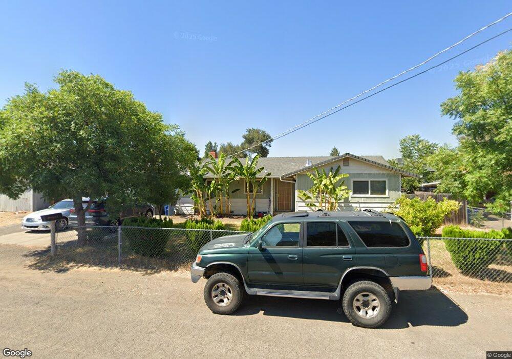
1032 Echo Rd Redding, CA 96002
Enterprise NeighborhoodEstimated Value: $260,000 - $362,000
3
Beds
2
Baths
1,750
Sq Ft
$180/Sq Ft
Est. Value
About This Home
This home is located at 1032 Echo Rd, Redding, CA 96002 and is currently estimated at $314,185, approximately $179 per square foot. 1032 Echo Rd is a home located in Shasta County with nearby schools including Lassen View Elementary School, Parsons Junior High School, and Enterprise High School.
Ownership History
Date
Name
Owned For
Owner Type
Purchase Details
Closed on
Jan 15, 1999
Sold by
Skelton Eugene P
Bought by
Saephan Muang Fin and Saephan Choy Meng
Current Estimated Value
Home Financials for this Owner
Home Financials are based on the most recent Mortgage that was taken out on this home.
Original Mortgage
$85,378
Outstanding Balance
$19,581
Interest Rate
6.63%
Mortgage Type
FHA
Estimated Equity
$294,604
Create a Home Valuation Report for This Property
The Home Valuation Report is an in-depth analysis detailing your home's value as well as a comparison with similar homes in the area
Home Values in the Area
Average Home Value in this Area
Purchase History
| Date | Buyer | Sale Price | Title Company |
|---|---|---|---|
| Saephan Muang Fin | $89,000 | First American Title Co |
Source: Public Records
Mortgage History
| Date | Status | Borrower | Loan Amount |
|---|---|---|---|
| Open | Saephan Muang Fin | $85,378 |
Source: Public Records
Tax History
| Year | Tax Paid | Tax Assessment Tax Assessment Total Assessment is a certain percentage of the fair market value that is determined by local assessors to be the total taxable value of land and additions on the property. | Land | Improvement |
|---|---|---|---|---|
| 2025 | $1,554 | $141,005 | $34,476 | $106,529 |
| 2024 | $1,531 | $138,241 | $33,800 | $104,441 |
| 2023 | $1,531 | $135,532 | $33,138 | $102,394 |
| 2022 | $1,488 | $132,876 | $32,489 | $100,387 |
| 2021 | $1,438 | $130,271 | $31,852 | $98,419 |
| 2020 | $1,431 | $128,936 | $31,526 | $97,410 |
| 2019 | $1,419 | $126,408 | $30,908 | $95,500 |
| 2018 | $1,403 | $123,930 | $30,302 | $93,628 |
| 2017 | $1,427 | $121,501 | $29,708 | $91,793 |
| 2016 | $1,336 | $119,120 | $29,126 | $89,994 |
| 2015 | $1,325 | $117,332 | $28,689 | $88,643 |
| 2014 | -- | $115,035 | $28,128 | $86,907 |
Source: Public Records
Map
Nearby Homes
- 952 Camino Ct
- 3527 Adams Ln
- 3428 Adams Ln
- 1091 Del Sol Place
- 1209 C St
- 3703 Harrow Ct
- 1075 Le Brun Ln
- 688 Julie Way
- 1106 2nd St
- 3178 Lawrence Rd
- 1108 4th St
- 3708 Traverse St
- 1513 Harpole Rd
- 3293 Middleton Ln
- 3283 Middleton Ln
- 0 Churn Creek Rd Unit 25-496
- 0 Churn Creek Rd Unit 26-609
- 0 Churn Creek Rd Unit 25-5491
- 918 Parsons Dr
- 4218 Jane St
- 1048 Echo Rd
- 1010 Echo Rd
- 1013 Echo Rd
- 1060 Echo Rd
- 3533 Churn Creek Rd
- 3503 Churn Creek Rd
- 3611 Churn Creek Rd
- 1100 Echo Rd
- 1100 Echo Rd
- 1140 Echo Rd & 1142
- 3500 Churn Creek Rd
- 1113 Echo 1weup7ny0hdu
- 1113 Echo Rd
- 1140 Echo Rd
- 3600 Churn Creek Rd
- 3637 Churn Creek Rd
- 985 Camino Ct
- 1142 Echo Rd Unit 1&2
- 1142 Echo Rd
- 1121 Echo Rd
Your Personal Tour Guide
Ask me questions while you tour the home.