Estimated Value: $290,000 - $332,000
3
Beds
2
Baths
2,302
Sq Ft
$135/Sq Ft
Est. Value
About This Home
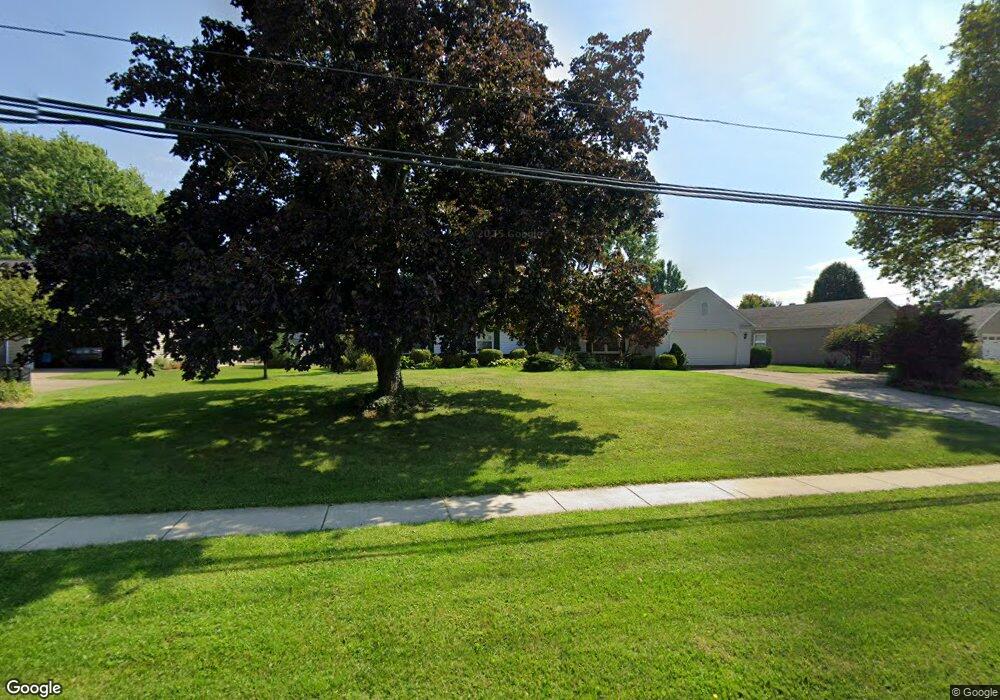
This home is located at 1032 Main St, Huron, OH 44839 and is currently estimated at $311,820, approximately $135 per square foot. 1032 Main St is a home located in Erie County with nearby schools including Shawnee Elementary School, Woodlands Intermediate School, and McCormick Junior High School.
Ownership History
Date
Name
Owned For
Owner Type
Purchase Details
Closed on
Mar 28, 2018
Sold by
Brewer Clair H
Bought by
Brewer Clair H
Current Estimated Value
Purchase Details
Closed on
Feb 6, 2001
Sold by
Lawson Michael E
Bought by
Brewer Clair H and Brewer Janis A
Home Financials for this Owner
Home Financials are based on the most recent Mortgage that was taken out on this home.
Original Mortgage
$55,000
Interest Rate
7.22%
Mortgage Type
New Conventional
Purchase Details
Closed on
May 10, 1996
Sold by
Rice Paul A
Bought by
Lawson Michael E and Lawson Gretchen A
Home Financials for this Owner
Home Financials are based on the most recent Mortgage that was taken out on this home.
Original Mortgage
$128,475
Interest Rate
7.78%
Mortgage Type
New Conventional
Create a Home Valuation Report for This Property
The Home Valuation Report is an in-depth analysis detailing your home's value as well as a comparison with similar homes in the area
Home Values in the Area
Average Home Value in this Area
Purchase History
| Date | Buyer | Sale Price | Title Company |
|---|---|---|---|
| Brewer Clair H | -- | -- | |
| Brewer Clair H | $153,000 | -- | |
| Lawson Michael E | $142,750 | -- |
Source: Public Records
Mortgage History
| Date | Status | Borrower | Loan Amount |
|---|---|---|---|
| Previous Owner | Brewer Clair H | $55,000 | |
| Previous Owner | Lawson Michael E | $128,475 |
Source: Public Records
Tax History
| Year | Tax Paid | Tax Assessment Tax Assessment Total Assessment is a certain percentage of the fair market value that is determined by local assessors to be the total taxable value of land and additions on the property. | Land | Improvement |
|---|---|---|---|---|
| 2024 | $2,483 | $80,804 | $12,824 | $67,980 |
| 2023 | $2,934 | $69,954 | $10,815 | $59,139 |
| 2022 | $2,671 | $69,958 | $10,815 | $59,143 |
| 2021 | $2,537 | $69,960 | $10,820 | $59,140 |
| 2020 | $2,161 | $59,530 | $10,820 | $48,710 |
| 2019 | $2,259 | $59,530 | $10,820 | $48,710 |
| 2018 | $2,271 | $59,530 | $10,820 | $48,710 |
| 2017 | $2,197 | $56,500 | $13,440 | $43,060 |
| 2016 | $2,118 | $56,500 | $13,440 | $43,060 |
| 2015 | $2,122 | $56,500 | $13,440 | $43,060 |
| 2014 | $2,147 | $56,500 | $13,440 | $43,060 |
| 2013 | $2,116 | $56,500 | $13,440 | $43,060 |
Source: Public Records
Map
Nearby Homes
- 1114 Mudbrook Rd
- 216 Chevy Dr
- 304 Lisa Ann Dr
- 317 Chevy Dr
- 927 Dallas Dr
- 937 Main St
- 128 N Port Ln
- 1140 Sheltered Brook Dr
- 0 Main St
- 676 Salem Dr
- 919 Glenview Dr
- 418 Adams Ave
- 535 Wilbor Ave
- 110 Wheeler Dr
- 525 Liberty Dr Unit A
- 323 Portland Dr
- 28 Turtle Bay
- 0 W Cleveland Rd
- 0 Bogart Rd
- 706 Creekside Dr
- 1034 Main St
- 1028 Main St
- 1024 Brittany Dr Unit 1024
- 1022 Brittany Dr
- 1102 Mudbrook Rd
- 1020 Brittany Dr Unit 1020
- 1018 Brittany Dr
- 1024 Main St
- 1104 Mudbrook Rd
- 1016 Brittany Dr
- 1014 Brittany Dr
- 198 Lisa Ann Dr
- 196 Lisa Ann Dr
- 1101 Mudbrook Rd
- 1020 Main St
- 1106 Mudbrook Rd
- 1031 Main St
- 1012 Brittany Dr
- 1010 Brittany Dr
- 1019 Brittany Dr
Your Personal Tour Guide
Ask me questions while you tour the home.