1032 S Corning St Los Angeles, CA 90035
Pico-Robertson NeighborhoodEstimated Value: $1,748,000 - $2,671,000
4
Beds
2
Baths
3,086
Sq Ft
$709/Sq Ft
Est. Value
About This Home
This home is located at 1032 S Corning St, Los Angeles, CA 90035 and is currently estimated at $2,187,575, approximately $708 per square foot. 1032 S Corning St is a home located in Los Angeles County with nearby schools including Carthay Center Elementary School, Fairfax High School, and Ralph Waldo Emerson Community Charter Middle School.
Ownership History
Date
Name
Owned For
Owner Type
Purchase Details
Closed on
Apr 1, 2018
Sold by
1032 S Corning Street Llc
Bought by
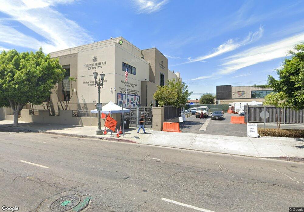
Temple Beth Am
Current Estimated Value
Purchase Details
Closed on
Oct 24, 2011
Sold by
Mcfadden Jo Ann O and Trust Of Jo Ann Mcfadden
Bought by
1032 S Corning Street Llc
Purchase Details
Closed on
Jun 16, 1996
Sold by
Mcfadden Jo Ann
Bought by
Mcfadden Jo Ann O and Trust Of Jo Ann O Mcfadden
Create a Home Valuation Report for This Property
The Home Valuation Report is an in-depth analysis detailing your home's value as well as a comparison with similar homes in the area
Home Values in the Area
Average Home Value in this Area
Purchase History
| Date | Buyer | Sale Price | Title Company |
|---|---|---|---|
| Temple Beth Am | -- | Accommodation | |
| 1032 S Corning Street Llc | $950,000 | Lawyers Title Company | |
| Mcfadden Jo Ann O | -- | -- |
Source: Public Records
Tax History Compared to Growth
Tax History
| Year | Tax Paid | Tax Assessment Tax Assessment Total Assessment is a certain percentage of the fair market value that is determined by local assessors to be the total taxable value of land and additions on the property. | Land | Improvement |
|---|---|---|---|---|
| 2025 | $70 | $1,245,415 | $1,227,896 | $17,519 |
| 2024 | $70 | $1,220,996 | $1,203,820 | $17,176 |
| 2023 | $73 | $1,197,056 | $1,180,216 | $16,840 |
| 2022 | $13,824 | $1,173,585 | $1,157,075 | $16,510 |
| 2021 | $17,098 | $1,418,521 | $1,134,388 | $284,133 |
| 2019 | $12,949 | $1,069,680 | $506,690 | $562,990 |
| 2018 | $12,865 | $1,048,706 | $496,755 | $551,951 |
| 2016 | $12,290 | $1,007,985 | $477,466 | $530,519 |
| 2015 | $12,111 | $992,846 | $470,295 | $522,551 |
| 2014 | $12,157 | $973,398 | $461,083 | $512,315 |
Source: Public Records
Map
Nearby Homes
- 1111 S Holt Ave
- 8636 W Olympic Blvd Unit 5
- 910 S Holt Ave Unit 305
- 919 S Sherbourne Dr
- 853 S Le Doux Rd Unit 301
- 910 S Bedford St Unit 301
- 1026 S Shenandoah St
- 1155 S Orlando Ave
- 6512 Olympic Place
- 8642 Gregory Way Unit 204
- 1123 S Shenandoah St Unit 101
- 828 S Bedford St Unit 202
- 858 S Shenandoah St
- 1210 S Shenandoah St Unit 104
- 1233 S Bedford St
- 1211 S Shenandoah St Unit 304
- 235 S Tower Dr Unit 301
- 234 S Gale Dr Unit 308
- 8559 Alcott St Unit 301
- 8553 Alcott St
- 1036 S Corning St
- 1024 S Corning St
- 1026 S Corning St
- 1020 S Corning St
- 1046 S Corning St
- 1062 S Corning St Unit Upper
- 1031 S Corning St
- 1050 S Corning St Unit 4
- 1041 S Corning St
- 1021 S Corning St
- 1047 S Corning St
- 1008 S Corning St
- 1017 S Corning St
- 1054 S Corning St
- 1053 S Corning St
- 1051 S Corning St
- 1060 S Corning St
- 8500 W Olympic Blvd
- 1055 S Corning St Unit 1-2-3
- 1055 S Corning St