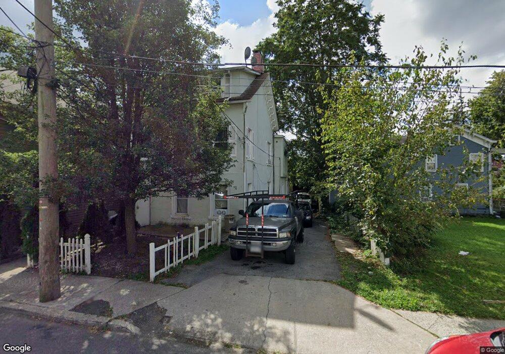
1033 Howard St Peekskill, NY 10566
Estimated Value: $622,000 - $1,017,000
Studio
--
Bath
--
Sq Ft
3,746
Sq Ft Lot
About This Home
This home is located at 1033 Howard St, Peekskill, NY 10566 and is currently estimated at $728,871. 1033 Howard St is a home located in Westchester County with nearby schools including Oakside School, Hillcrest School, and Woodside Elementary School.
Ownership History
Date
Name
Owned For
Owner Type
Purchase Details
Closed on
Sep 9, 2005
Sold by
Bobs Management Inc
Bought by
Tenesava Manuel V and Guzman Teresita
Current Estimated Value
Purchase Details
Closed on
Nov 21, 1996
Sold by
Gagliano Ralph and Gagliano Leslie
Bought by
Bobs Management Inc
Purchase Details
Closed on
Nov 20, 1996
Sold by
Argee Metal Works Inc
Bought by
Gagliano Ralph and Gagliano Leslie
Create a Home Valuation Report for This Property
The Home Valuation Report is an in-depth analysis detailing your home's value as well as a comparison with similar homes in the area
Home Values in the Area
Average Home Value in this Area
Purchase History
| Date | Buyer | Sale Price | Title Company |
|---|---|---|---|
| Tenesava Manuel V | $459,900 | First American Title Ins Co | |
| Bobs Management Inc | -- | Chicago Title Insurance Co | |
| Gagliano Ralph | $135,000 | -- |
Source: Public Records
Tax History
| Year | Tax Paid | Tax Assessment Tax Assessment Total Assessment is a certain percentage of the fair market value that is determined by local assessors to be the total taxable value of land and additions on the property. | Land | Improvement |
|---|---|---|---|---|
| 2024 | $15,303 | $12,300 | $2,000 | $10,300 |
| 2023 | $15,058 | $12,300 | $2,000 | $10,300 |
| 2022 | $15,424 | $12,300 | $2,000 | $10,300 |
| 2021 | $14,451 | $12,300 | $2,000 | $10,300 |
| 2020 | $14,173 | $12,300 | $2,000 | $10,300 |
| 2019 | $13,679 | $12,300 | $2,000 | $10,300 |
| 2018 | $2,636 | $12,300 | $2,000 | $10,300 |
| 2017 | $0 | $12,300 | $2,000 | $10,300 |
| 2016 | $12,891 | $12,300 | $2,000 | $10,300 |
| 2015 | -- | $12,300 | $2,000 | $10,300 |
| 2014 | $6,083 | $12,300 | $2,000 | $10,300 |
| 2013 | $6,083 | $12,300 | $2,000 | $10,300 |
Source: Public Records
Map
Nearby Homes
- 956 Paulding St
- 1204 Main St
- 1106 Orchard St
- 925 Constant Ave
- 108 Union Ave
- 974 Main St
- 9 N James St Unit B
- 710 Main St
- 150 Overlook Ave Unit 4L
- 150 Overlook Ave Unit 1S
- 150 Overlook Ave Unit 6L
- 8 N James St Unit G
- 669 N Division St
- 1463 Lincoln Terrace
- 1 Rolling Way Unit C
- 1605 Crompond Rd
- 964 Pemart Ave
- 1 Lakeview Dr Unit LL5
- 1716 Westchester Ave
- 1716A Main St
- 1037 Howard St
- 126 N James St
- 120 N James St
- 1022 Howard St
- 1040 Howard St
- 1028 Howard St
- 1036 Howard St
- 1026 Howard St
- 206 N James St
- 1101 Howard St
- 127 N James St
- 208 N James St
- 1107 Howard St
- 1100 Howard St
- 125 N James St
- 216 N James St
- 1111 Howard St
- 209 N James St
- 218 N James St
- 218 N James St Unit 7
Your Personal Tour Guide
Ask me questions while you tour the home.