1034 Clark Ln Dillon, MT 59725
Estimated Value: $390,583 - $495,000
3
Beds
2
Baths
1,232
Sq Ft
$345/Sq Ft
Est. Value
About This Home
This home is located at 1034 Clark Ln, Dillon, MT 59725 and is currently estimated at $424,646, approximately $344 per square foot. 1034 Clark Ln is a home located in Beaverhead County with nearby schools including Parkview School, Dillon Middle School, and Beaverhead Co High School.
Ownership History
Date
Name
Owned For
Owner Type
Purchase Details
Closed on
Jun 11, 2024
Sold by
Benson Land & Livestock Llc
Bought by
Cb Investment Properties Llc
Current Estimated Value
Purchase Details
Closed on
Apr 29, 2024
Sold by
Beaverpride Llc
Bought by
Benson Land And Livestock Llc
Purchase Details
Closed on
Dec 13, 2023
Sold by
Newton Richard J
Bought by
East Bench Grain Inc
Home Financials for this Owner
Home Financials are based on the most recent Mortgage that was taken out on this home.
Original Mortgage
$131,000
Interest Rate
7.76%
Mortgage Type
Seller Take Back
Create a Home Valuation Report for This Property
The Home Valuation Report is an in-depth analysis detailing your home's value as well as a comparison with similar homes in the area
Purchase History
| Date | Buyer | Sale Price | Title Company |
|---|---|---|---|
| Cb Investment Properties Llc | -- | Flying S Title And Escrow | |
| Benson Land And Livestock Llc | -- | None Listed On Document | |
| East Bench Grain Inc | -- | Flying S Title |
Source: Public Records
Mortgage History
| Date | Status | Borrower | Loan Amount |
|---|---|---|---|
| Previous Owner | East Bench Grain Inc | $131,000 |
Source: Public Records
Tax History
| Year | Tax Paid | Tax Assessment Tax Assessment Total Assessment is a certain percentage of the fair market value that is determined by local assessors to be the total taxable value of land and additions on the property. | Land | Improvement |
|---|---|---|---|---|
| 2025 | $1,794 | $395,600 | $0 | $0 |
| 2024 | $639 | $331,600 | $0 | $0 |
| 2023 | $2,388 | $331,600 | $0 | $0 |
| 2022 | $2,160 | $249,800 | $0 | $0 |
| 2021 | $2,003 | $249,800 | $0 | $0 |
| 2020 | $1,955 | $219,000 | $0 | $0 |
| 2019 | $1,933 | $219,000 | $0 | $0 |
| 2018 | $1,567 | $188,300 | $0 | $0 |
| 2017 | -- | $188,300 | $0 | $0 |
| 2016 | -- | $187,300 | $0 | $0 |
| 2015 | -- | $187,300 | $0 | $0 |
| 2014 | -- | $95,612 | $0 | $0 |
Source: Public Records
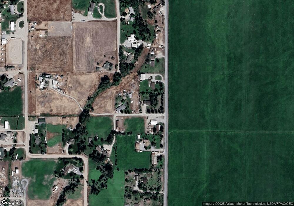
Map
Nearby Homes
- 355 Buffalo Dr
- 15 Wendy Ln
- 1335 Cattle Dr
- 1390 Cattle Dr
- 250 Pioneer Dr
- 500 Arrigoni Ln
- 467 Taylor Dr
- 335 Expedition Dr
- 650 Frying Pan Rd
- 23 Sunrise St
- 710 Gamblers Run
- 190 Tenderfoot Trail
- 355 Meriwether Ln
- 9 Skihi St
- 43 Tobacco Root Rd
- 31 Tobacco Root Rd
- 343 N Montana St
- 1325 Lovers Leap Rd
- 1070 Lovers Leap Rd
- 130 Thomas Way
Your Personal Tour Guide
Ask me questions while you tour the home.