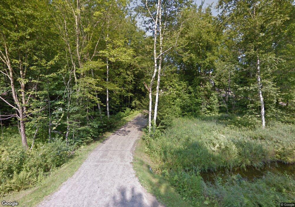
Estimated Value: $500,079 - $636,000
3
Beds
3
Baths
1,612
Sq Ft
$336/Sq Ft
Est. Value
About This Home
This home is located at 1034 Northside Rd, Stark, NH 03582 and is currently estimated at $541,520, approximately $335 per square foot. 1034 Northside Rd is a home located in Coos County.
Ownership History
Date
Name
Owned For
Owner Type
Purchase Details
Closed on
Dec 21, 1999
Sold by
Boudle Irving H and Boudle Veronia M
Bought by
Peters Patrick C and Peters Joann K
Current Estimated Value
Home Financials for this Owner
Home Financials are based on the most recent Mortgage that was taken out on this home.
Original Mortgage
$58,800
Interest Rate
7.81%
Create a Home Valuation Report for This Property
The Home Valuation Report is an in-depth analysis detailing your home's value as well as a comparison with similar homes in the area
Purchase History
| Date | Buyer | Sale Price | Title Company |
|---|---|---|---|
| Peters Patrick C | $73,500 | -- |
Source: Public Records
Mortgage History
| Date | Status | Borrower | Loan Amount |
|---|---|---|---|
| Open | Peters Patrick C | $141,946 | |
| Closed | Peters Patrick C | $139,300 | |
| Closed | Peters Patrick C | $58,800 |
Source: Public Records
Tax History
| Year | Tax Paid | Tax Assessment Tax Assessment Total Assessment is a certain percentage of the fair market value that is determined by local assessors to be the total taxable value of land and additions on the property. | Land | Improvement |
|---|---|---|---|---|
| 2024 | $4,596 | $423,200 | $99,800 | $323,400 |
| 2023 | $3,670 | $177,100 | $40,200 | $136,900 |
| 2022 | $2,928 | $179,000 | $42,100 | $136,900 |
| 2021 | $3,566 | $179,000 | $42,100 | $136,900 |
| 2020 | $3,222 | $179,000 | $42,100 | $136,900 |
| 2019 | $3,235 | $179,000 | $42,100 | $136,900 |
| 2018 | $2,990 | $166,500 | $26,600 | $139,900 |
| 2017 | $3,014 | $165,700 | $26,600 | $139,100 |
| 2016 | $2,886 | $165,700 | $26,600 | $139,100 |
| 2015 | $2,819 | $165,700 | $26,600 | $139,100 |
| 2014 | $2,896 | $165,700 | $26,600 | $139,100 |
| 2013 | $3,281 | $187,700 | $28,300 | $159,400 |
Source: Public Records
Map
Nearby Homes
- 406 New Hampshire 110
- 13 Hillside Ave
- 41 Crow Hill St
- 14 Odell Park
- 27 West St
- 238 Northside Rd
- 0 Town Line Rd Unit 1 and 33 4953131
- 114 US Route 3
- 147 U S 3
- 388 Percy Rd
- 338 Percy Rd
- 441 Bog Rd
- 75 Walther Way
- 43 Holbrook Hill Rd
- 370 Percy Rd
- 00 Bog Rd Unit 31
- 0 Egan Rd Unit 220000
- 1070 Bear Hill Rd
- 8 Sunset Ct
- 24 Pine Rd
- 1036 Northside Rd
- 1024 Northside Rd
- 1058 Northside Rd
- 1012 Northside Rd
- 1062 Northside Rd
- 1076 Northside Rd
- 71 Stone Dr
- 64 Stone Dr
- 21 Stone Dr
- 1086 Northside Rd
- 998 Northside Rd
- 1108 Northside Rd
- 46 Stone Dr
- L71 Cloutier Dr
- 0 Stone Dr
- 14 Cloutier Dr
- 976 Northside Rd
- 32 Stone Dr
- 40 Cloutier Dr
- 968 Northside Rd
