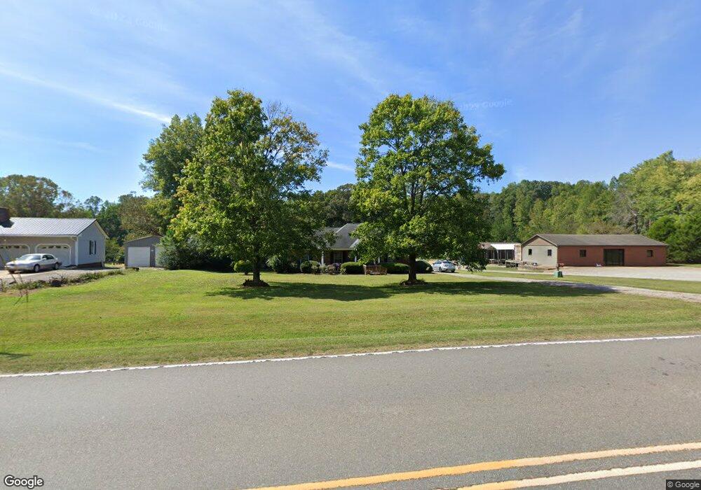
1034 Perth Rd Troutman, NC 28166
Estimated Value: $323,800 - $360,000
3
Beds
2
Baths
1,251
Sq Ft
$270/Sq Ft
Est. Value
About This Home
This home is located at 1034 Perth Rd, Troutman, NC 28166 and is currently estimated at $337,700, approximately $269 per square foot. 1034 Perth Rd is a home located in Iredell County with nearby schools including Troutman Elementary School, Troutman Middle School, and South Iredell High School.
Ownership History
Date
Name
Owned For
Owner Type
Purchase Details
Closed on
May 12, 2005
Sold by
Barnette Ronald Scott and Barnette Carole B
Bought by
Perry Brenda T
Current Estimated Value
Purchase Details
Closed on
Oct 15, 1999
Sold by
Shaw Wesley M and Shaw Ashley N
Bought by
Barnette Ronald Scott and Barnette Carole B
Home Financials for this Owner
Home Financials are based on the most recent Mortgage that was taken out on this home.
Original Mortgage
$131,400
Interest Rate
7.85%
Purchase Details
Closed on
May 1, 1997
Create a Home Valuation Report for This Property
The Home Valuation Report is an in-depth analysis detailing your home's value as well as a comparison with similar homes in the area
Home Values in the Area
Average Home Value in this Area
Purchase History
We collect this data history from publicly available records. To have your information removed, we recommend requesting removal directly through your county’s website.
| Date | Buyer | Sale Price | Title Company |
|---|---|---|---|
| Perry Brenda T | $142,000 | -- | |
| Barnette Ronald Scott | $135,500 | -- | |
| -- | $85,000 | -- |
Source: Public Records
Mortgage History
We collect this data history from publicly available records. To have your information removed, we recommend requesting removal directly through your county’s website.
| Date | Status | Borrower | Loan Amount |
|---|---|---|---|
| Previous Owner | Barnette Ronald Scott | $131,400 |
Source: Public Records
Tax History
| Year | Tax Paid | Tax Assessment Tax Assessment Total Assessment is a certain percentage of the fair market value that is determined by local assessors to be the total taxable value of land and additions on the property. | Land | Improvement |
|---|---|---|---|---|
| 2025 | $847 | $272,200 | $80,750 | $191,450 |
| 2024 | $847 | $272,200 | $80,750 | $191,450 |
| 2023 | $847 | $272,200 | $80,750 | $191,450 |
| 2022 | $1,078 | $159,750 | $28,350 | $131,400 |
| 2021 | $1,058 | $159,750 | $28,350 | $131,400 |
| 2020 | $1,058 | $159,750 | $28,350 | $131,400 |
| 2019 | $1,018 | $159,750 | $28,350 | $131,400 |
| 2018 | $935 | $147,820 | $25,990 | $121,830 |
| 2017 | $935 | $147,820 | $25,990 | $121,830 |
| 2016 | $935 | $147,820 | $25,990 | $121,830 |
| 2015 | $935 | $147,820 | $25,990 | $121,830 |
| 2014 | $873 | $149,360 | $25,990 | $123,370 |
Source: Public Records
Map
Nearby Homes
- 169 Winding Creek Dr
- 156 Ashmore Cir
- 184 Ashmore Cir
- 141 Winding Creek Dr
- 132 Chaska Loop
- 133 Crestview Ln Unit 15
- 133 Crestview Ln
- 125 Crestview Ln Unit 14
- 125 Crestview Ln
- 147 Fernview Trail
- 183 Chaska Loop Unit 61
- 241 Ashmore Cir
- 205 Streamwood Rd
- 0 Cody Ct
- 159 Fernview Trail Unit 8
- 202 Streamwood Rd
- 270 Spicewood Cir
- 179 Streamwood Rd
- 299 Hamptons Cove Rd
- 115 Outrigger Ln
- 1038 Perth Rd
- 1028 Perth Rd
- 1030 Perth Rd
- 1044 Perth Rd
- 1022 Perth Rd
- 1031 Perth Rd
- 1048 Perth Rd
- 130 Santana Ln Unit 4
- 130 Santana Ln
- 110 Perthwood Dr
- 1018 Perth Rd
- 128 Santana Ln
- 126 Perthwood Dr
- 1014 Perth Rd
- 1014 Perth Rd Unit 37
- 103 Streamwood Rd Unit 103
- 140 Perthwood Dr
- 107 Streamwood Rd
- 107 Streamwood Rd Unit 3
- 1013 Perth Rd
Your Personal Tour Guide
Ask me questions while you tour the home.