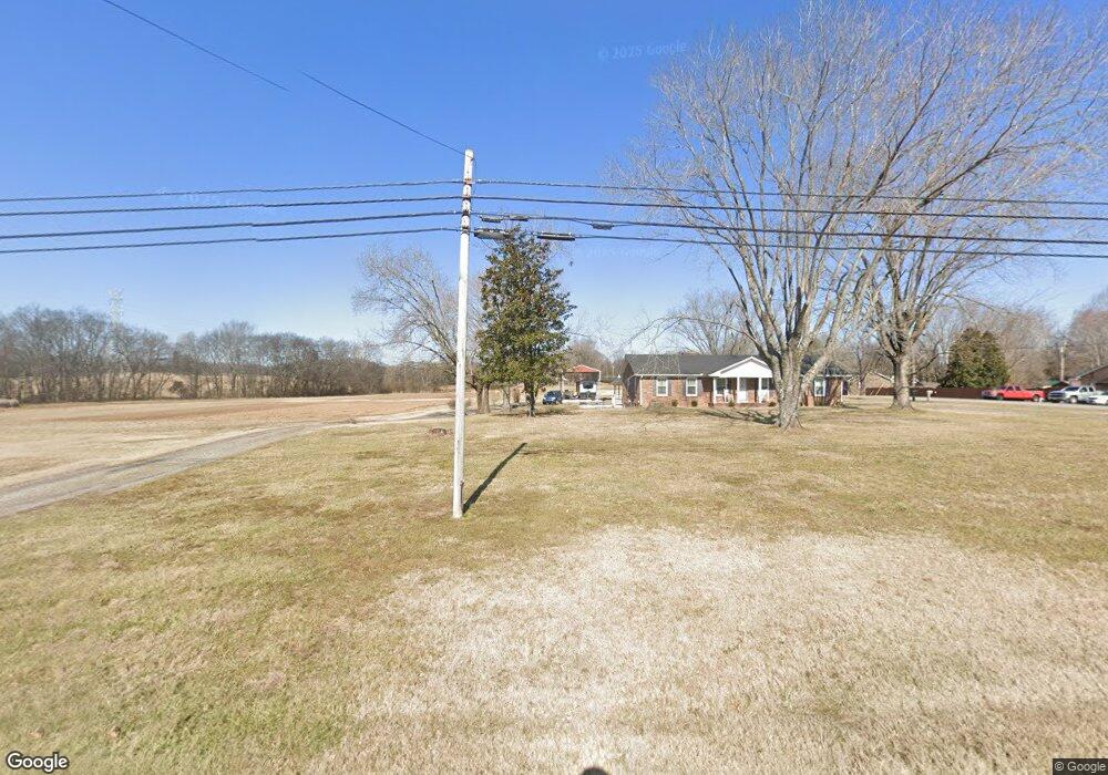
1035 Highway 25 Gallatin, TN 37066
Estimated Value: $426,000 - $583,000
--
Bed
1
Bath
1,680
Sq Ft
$300/Sq Ft
Est. Value
About This Home
This home is located at 1035 Highway 25, Gallatin, TN 37066 and is currently estimated at $504,500, approximately $300 per square foot. 1035 Highway 25 is a home located in Sumner County with nearby schools including Howard Elementary School, Rucker Stewart Middle School, and Gallatin Senior High School.
Ownership History
Date
Name
Owned For
Owner Type
Purchase Details
Closed on
Aug 29, 2022
Sold by
Clayton Properties Group Inc
Bought by
Griesel Riaan and Griesel Hayley
Current Estimated Value
Purchase Details
Closed on
Jul 26, 2021
Sold by
Yates Fred and Yates Ruth
Bought by
Bhh Real Estate Management Llc
Purchase Details
Closed on
Sep 21, 2016
Sold by
Yates Fred and Yates Ruth
Bought by
Yates Fred and Yates Ruth
Purchase Details
Closed on
Sep 8, 2003
Sold by
Jones Randall R and Jones Barbara C
Bought by
Bridge William R and Bridge Louise
Purchase Details
Closed on
Jul 24, 2002
Sold by
Burgess Mabel
Bought by
Yates Fred and Yates Ruth
Create a Home Valuation Report for This Property
The Home Valuation Report is an in-depth analysis detailing your home's value as well as a comparison with similar homes in the area
Home Values in the Area
Average Home Value in this Area
Purchase History
| Date | Buyer | Sale Price | Title Company |
|---|---|---|---|
| Griesel Riaan | -- | Smith Sholar Milliken Pllc | |
| Bhh Real Estate Management Llc | -- | Southern Title Llc | |
| Yates Fred | -- | Tennessee Title Services Ll | |
| Bridge William R | $158,200 | -- | |
| Yates Fred | $135,000 | -- |
Source: Public Records
Tax History Compared to Growth
Tax History
| Year | Tax Paid | Tax Assessment Tax Assessment Total Assessment is a certain percentage of the fair market value that is determined by local assessors to be the total taxable value of land and additions on the property. | Land | Improvement |
|---|---|---|---|---|
| 2024 | $1,632 | $114,825 | $62,450 | $52,375 |
| 2023 | $2,082 | $68,225 | $31,350 | $36,875 |
| 2022 | $2,089 | $68,225 | $31,350 | $36,875 |
| 2021 | $2,089 | $68,225 | $31,350 | $36,875 |
| 2020 | $2,089 | $68,225 | $31,350 | $36,875 |
| 2019 | $2,089 | $0 | $0 | $0 |
| 2018 | $1,332 | $0 | $0 | $0 |
| 2017 | $1,332 | $0 | $0 | $0 |
| 2016 | $954 | $0 | $0 | $0 |
| 2015 | -- | $0 | $0 | $0 |
| 2014 | -- | $0 | $0 | $0 |
Source: Public Records
Map
Nearby Homes
- The Caldwell Plan at Winston Place
- The Harrington Plan at Winston Place
- The Benson II Plan at Winston Place
- The Manchester II Plan at Winston Place
- The McGinnis Plan at Winston Place
- The Langford Plan at Winston Place
- The Piedmont Plan at Winston Place
- The Braselton II Plan at Winston Place
- 233 Summerlin Dr
- 348 Winston Way
- 172 Summerlin Dr
- 176 Summerlin Dr
- 505 Coffee Ct
- 180 Summerlin Dr
- 192 Summerlin Dr
- 149 Putter Point Dr
- 177 Summerlin Dr
- 181 Summerlin Dr
- 193 Summerlin Dr
- 312 Blade St
- 434 Paisley Way
- 433 Paisley Way
- 1041 Highway 25
- 430 Paisley Way
- 1061 Highway 25
- 118 Star Ct
- 429 Paisley Way
- 434 Bernhart Dr
- 430 Bernhart Dr
- 426 Paisley Way
- 114 Star Ct
- 425 Paisley Way
- 1031 Highway 25
- 426 Bernhart Dr
- 1027 Tennessee 25
- 220 Summerlin Dr Unit 32
- 224 Summerlin Dr Unit 31
- 433 Bernhart Dr
- 127 Star Ct
- 123 Star Ct