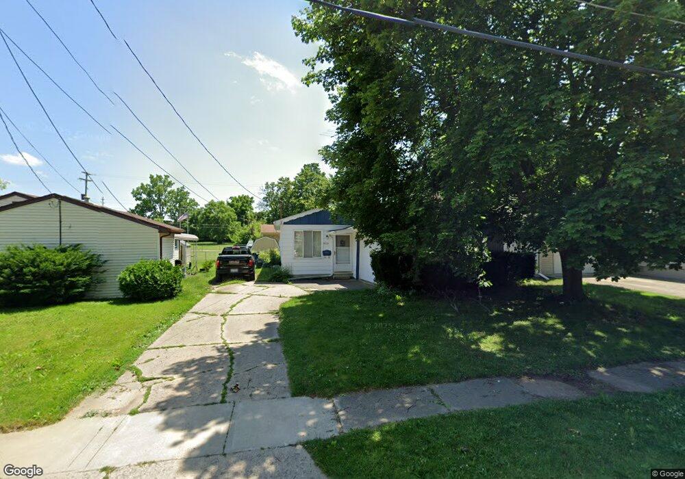
1035 Pinehurst Ave Flint, MI 48507
South Side NeighborhoodEstimated Value: $52,321 - $70,000
3
Beds
1
Bath
876
Sq Ft
$70/Sq Ft
Est. Value
About This Home
This home is located at 1035 Pinehurst Ave, Flint, MI 48507 and is currently estimated at $61,330, approximately $70 per square foot. 1035 Pinehurst Ave is a home located in Genesee County with nearby schools including Neithercut Elementary School, Flint Southwestern Classical Academy, and International Academy of Flint (K-12).
Ownership History
Date
Name
Owned For
Owner Type
Purchase Details
Closed on
Jul 22, 2005
Sold by
Jones Laura M and Brown Laura M
Bought by
Jones Brian and Jones Laura
Current Estimated Value
Home Financials for this Owner
Home Financials are based on the most recent Mortgage that was taken out on this home.
Original Mortgage
$36,000
Interest Rate
5.71%
Mortgage Type
New Conventional
Create a Home Valuation Report for This Property
The Home Valuation Report is an in-depth analysis detailing your home's value as well as a comparison with similar homes in the area
Home Values in the Area
Average Home Value in this Area
Purchase History
| Date | Buyer | Sale Price | Title Company |
|---|---|---|---|
| Jones Brian | -- | Multiple |
Source: Public Records
Mortgage History
| Date | Status | Borrower | Loan Amount |
|---|---|---|---|
| Closed | Jones Brian | $36,000 |
Source: Public Records
Tax History
| Year | Tax Paid | Tax Assessment Tax Assessment Total Assessment is a certain percentage of the fair market value that is determined by local assessors to be the total taxable value of land and additions on the property. | Land | Improvement |
|---|---|---|---|---|
| 2025 | $929 | $19,400 | $0 | $0 |
| 2024 | $844 | $19,800 | $0 | $0 |
| 2023 | $830 | $16,000 | $0 | $0 |
| 2022 | $0 | $13,500 | $0 | $0 |
| 2021 | $861 | $12,100 | $0 | $0 |
| 2020 | $779 | $12,100 | $0 | $0 |
| 2019 | $760 | $12,600 | $0 | $0 |
| 2018 | $755 | $10,900 | $0 | $0 |
| 2017 | $735 | $0 | $0 | $0 |
| 2016 | $730 | $0 | $0 | $0 |
| 2015 | -- | $0 | $0 | $0 |
| 2014 | -- | $0 | $0 | $0 |
| 2012 | -- | $13,400 | $0 | $0 |
Source: Public Records
Map
Nearby Homes
- 1122 Markham St
- 1125 Ingleside Ave
- 1210 Pinehurst Ave
- 939 Ingleside Ave
- 1015 Alvord Ave
- 1234 Huron St
- 1318 Ingleside Ave
- 912 Huron St
- 1310 Huron St
- 846 W Hemphill Rd
- 1310 Alvord Ave
- 845 Alvord Ave
- 925 Leland St
- 1028 Campbell St
- 1627 Blackberry Ln
- 805 Alvord Ave
- 806 Alvord Ave
- 3902 Brunswick Ave
- 842 Leland St
- 1826 Greenbrook Ln
- 1043 Pinehurst Ave
- 1027 Pinehurst Ave
- 1036 Markham St
- 1028 Markham St
- 1101 Pinehurst Ave
- 1102 Markham St
- 1036 Pinehurst Ave
- 1105 Pinehurst Ave
- 1042 Pinehurst Ave
- 1028 Pinehurst Ave
- 1106 Markham St
- 1046 Pinehurst Ave
- 1020 Markham St
- 1102 Pinehurst Ave
- 1113 Pinehurst Ave
- 1112 Markham St
- 1035 Ingleside Ave
- 1039 Ingleside Ave
- 1117 Pinehurst Ave
- 1110 Pinehurst Ave
Your Personal Tour Guide
Ask me questions while you tour the home.