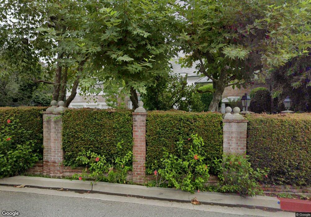
1036 Cove Way Beverly Hills, CA 90210
Estimated Value: $3,746,000
--
Bed
--
Bath
--
Sq Ft
0.65
Acres
About This Home
This home is located at 1036 Cove Way, Beverly Hills, CA 90210 and is currently estimated at $3,746,000. 1036 Cove Way is a home located in Los Angeles County with nearby schools including El Rodeo Elementary School, Beverly Hills High School, and Good Shepherd Catholic School.
Ownership History
Date
Name
Owned For
Owner Type
Purchase Details
Closed on
Mar 8, 1999
Sold by
Hackbarth Guy J and Hackbart Tania Ferris
Bought by
Mcalister Michael H
Current Estimated Value
Home Financials for this Owner
Home Financials are based on the most recent Mortgage that was taken out on this home.
Original Mortgage
$1,000,000
Outstanding Balance
$247,194
Interest Rate
7%
Estimated Equity
$3,498,806
Create a Home Valuation Report for This Property
The Home Valuation Report is an in-depth analysis detailing your home's value as well as a comparison with similar homes in the area
Home Values in the Area
Average Home Value in this Area
Purchase History
| Date | Buyer | Sale Price | Title Company |
|---|---|---|---|
| Mcalister Michael H | -- | Fidelity Title |
Source: Public Records
Mortgage History
| Date | Status | Borrower | Loan Amount |
|---|---|---|---|
| Open | Mcalister Michael H | $1,000,000 |
Source: Public Records
Tax History Compared to Growth
Tax History
| Year | Tax Paid | Tax Assessment Tax Assessment Total Assessment is a certain percentage of the fair market value that is determined by local assessors to be the total taxable value of land and additions on the property. | Land | Improvement |
|---|---|---|---|---|
| 2025 | $51,857 | $4,389,622 | $4,303,414 | $86,208 |
| 2024 | $51,857 | $4,303,552 | $4,219,034 | $84,518 |
| 2023 | $50,919 | $4,219,169 | $4,136,308 | $82,861 |
| 2022 | $49,460 | $4,136,441 | $4,055,204 | $81,237 |
| 2021 | $48,045 | $4,055,336 | $3,975,691 | $79,645 |
| 2019 | $46,660 | $3,935,055 | $3,857,771 | $77,284 |
| 2018 | $44,769 | $3,857,898 | $3,782,129 | $75,769 |
| 2016 | $43,030 | $3,708,093 | $3,635,265 | $72,828 |
| 2015 | $41,183 | $3,652,395 | $3,580,660 | $71,735 |
| 2014 | $39,793 | $3,580,850 | $3,510,520 | $70,330 |
Source: Public Records
Map
Nearby Homes
- 1031 Cove Way
- 1091 Laurel Way
- 1100 Pine Dr
- 1022 Summit Dr
- 1129 Tower Rd
- 1150 Laurel Way
- 1110 Benedict Canyon Dr
- 1006 N Crescent Dr
- 2250 Benedict Canyon Dr
- 1001 N Crescent Dr
- 9921 Tower Ln
- 1719 Ambassador Ave
- 1117 N Beverly Dr
- 1010 N Rexford Dr
- 1006 N Rexford Dr
- 917 N Crescent Dr
- 1277 Leona Dr
- 1017 Chevy Chase Dr
- 915 Hartford Way
- 1805 Lexington Rd
- 1036 Cove Way
- 1065 Carolyn Way
- 1075 Carolyn Way
- 1055 Carolyn Way
- 1035 Cove Way
- 1034 Cove Way
- 1085 Carolyn Way
- 1050 Summit Dr
- 1100 Summit Dr
- 1095 Carolyn Way
- 1050 Carolyn Way
- 1045 Carolyn Way
- 1090 Carolyn Way
- 1032 Cove Way
- 1036 Summit Dr
- 1105 Carolyn Way
- 1085 Summit Dr
- 1035 Carolyn Way
- 1041 Marilyn Dr
- 1100 Carolyn Way
