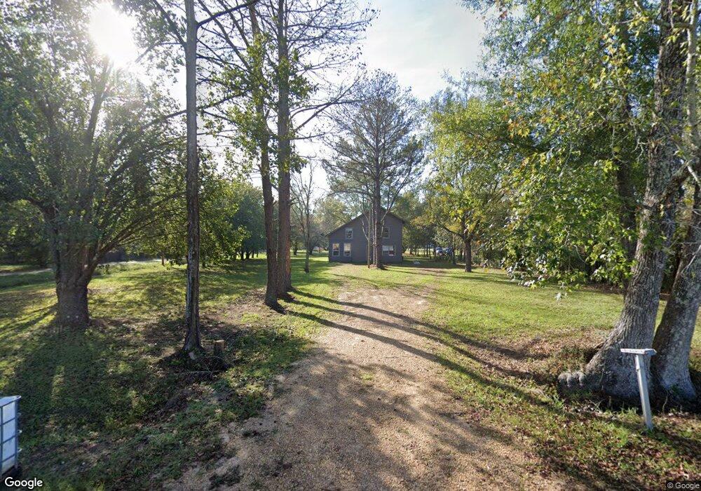
1036 Mary St Georgetown, MS 39078
Estimated Value: $99,000
4
Beds
2
Baths
1,685
Sq Ft
$59/Sq Ft
Est. Value
About This Home
This home is located at 1036 Mary St, Georgetown, MS 39078 and is currently estimated at $99,000, approximately $58 per square foot. 1036 Mary St is a home located in Copiah County with nearby schools including Crystal Springs Elementary School, Crystal Springs Middle School, and Crystal Springs High School.
Ownership History
Date
Name
Owned For
Owner Type
Purchase Details
Closed on
Jan 17, 2025
Sold by
Wendell Walker Foundation Inc
Bought by
Grey House Llc
Current Estimated Value
Purchase Details
Closed on
Nov 9, 2012
Sold by
Chassion Peter
Bought by
Wendell Walker Foundation Inc
Home Financials for this Owner
Home Financials are based on the most recent Mortgage that was taken out on this home.
Original Mortgage
$27,751
Interest Rate
3.4%
Mortgage Type
Unknown
Create a Home Valuation Report for This Property
The Home Valuation Report is an in-depth analysis detailing your home's value as well as a comparison with similar homes in the area
Home Values in the Area
Average Home Value in this Area
Purchase History
| Date | Buyer | Sale Price | Title Company |
|---|---|---|---|
| Grey House Llc | -- | None Listed On Document | |
| Wendell Walker Foundation Inc | -- | -- |
Source: Public Records
Mortgage History
| Date | Status | Borrower | Loan Amount |
|---|---|---|---|
| Previous Owner | Wendell Walker Foundation Inc | $27,751 |
Source: Public Records
Tax History Compared to Growth
Tax History
| Year | Tax Paid | Tax Assessment Tax Assessment Total Assessment is a certain percentage of the fair market value that is determined by local assessors to be the total taxable value of land and additions on the property. | Land | Improvement |
|---|---|---|---|---|
| 2025 | -- | $0 | $0 | $0 |
| 2024 | -- | $0 | $0 | $0 |
| 2023 | -- | $0 | $0 | $0 |
| 2022 | $0 | $0 | $0 | $0 |
| 2021 | $0 | $0 | $0 | $0 |
| 2020 | $0 | $0 | $0 | $0 |
| 2019 | $0 | $0 | $0 | $0 |
| 2018 | $0 | $0 | $0 | $0 |
| 2017 | $0 | $0 | $0 | $0 |
| 2016 | $0 | $0 | $0 | $0 |
| 2015 | $995 | $6,729 | $0 | $0 |
| 2014 | $995 | $6,729 | $0 | $0 |
Source: Public Records
Map
Nearby Homes
- 0 Broad St
- 0 Railroad Ave
- 9307a Mississippi 28
- 110 W Highway 28 Lot: 5
- 866 Old River Rd
- 00 Steel Creek Rd
- 0 Steel Creek Rd
- 133 Beaman Dr
- 589 Simpson Highway 28 W
- 543 Lee Bass Rd
- 110 Mississippi 28
- 502 Buckley Rd
- 0000 Lower Rockport Rd
- 0 Runnels Rd Unit 140947
- 1002 Poplar Springs Rd
- 2165 S Harmony Rd
- 0 Hwy 27 Unit 23890335
- 0 Whitetown Ln
- 4 Whitetown Ln
- 1 Whitetown Ln