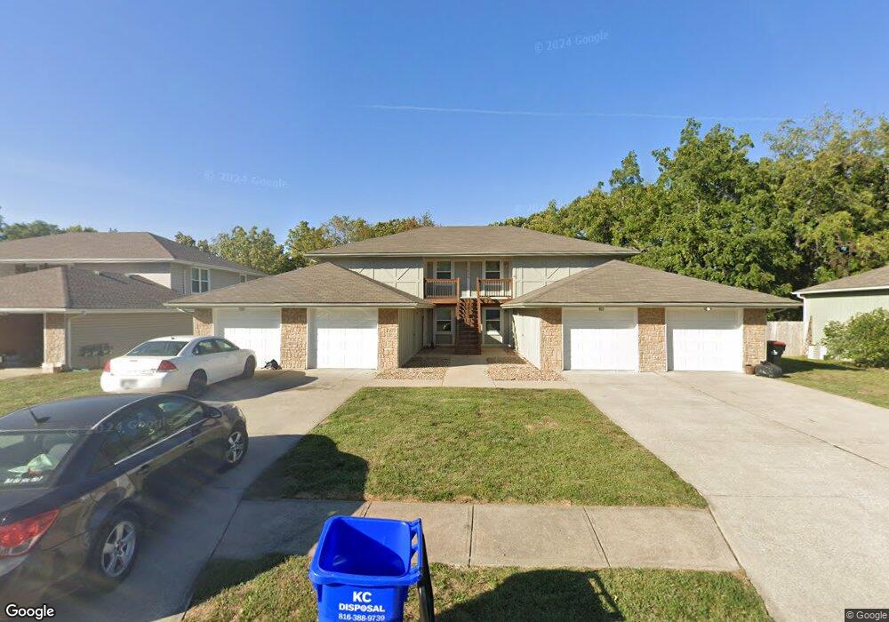
1036 NE Lindsay Ave Unit A Lees Summit, MO 64086
Estimated Value: $416,000 - $513,000
8
Beds
4
Baths
3,512
Sq Ft
$137/Sq Ft
Est. Value
About This Home
This home is located at 1036 NE Lindsay Ave Unit A, Lees Summit, MO 64086 and is currently estimated at $480,333, approximately $136 per square foot. 1036 NE Lindsay Ave Unit A is a home located in Jackson County with nearby schools including Meadow Lane Elementary School, Bernard C. Campbell Middle School, and Lee's Summit North High School.
Ownership History
Date
Name
Owned For
Owner Type
Purchase Details
Closed on
Oct 27, 2022
Sold by
Lees Summit Heritage Ii Llc
Bought by
Back 9 Rentals Llc
Current Estimated Value
Purchase Details
Closed on
Jul 2, 2019
Sold by
Wood Dymon Brent
Bought by
Wood Connie Sue and Lee S Summit Heritage Ii Llc
Purchase Details
Closed on
Jun 12, 1995
Sold by
Wood Donald D and Wood Norma J
Bought by
Wood Donald D and Wood Norma Jean
Create a Home Valuation Report for This Property
The Home Valuation Report is an in-depth analysis detailing your home's value as well as a comparison with similar homes in the area
Home Values in the Area
Average Home Value in this Area
Purchase History
| Date | Buyer | Sale Price | Title Company |
|---|---|---|---|
| Back 9 Rentals Llc | -- | Coffelt Land Title | |
| Wood Connie Sue | -- | None Available | |
| Wood Donald D | -- | -- |
Source: Public Records
Tax History Compared to Growth
Tax History
| Year | Tax Paid | Tax Assessment Tax Assessment Total Assessment is a certain percentage of the fair market value that is determined by local assessors to be the total taxable value of land and additions on the property. | Land | Improvement |
|---|---|---|---|---|
| 2025 | $4,929 | $78,500 | $7,691 | $70,809 |
| 2024 | $4,893 | $68,261 | $8,573 | $59,688 |
| 2023 | $4,893 | $68,261 | $11,877 | $56,384 |
| 2022 | $5,200 | $64,410 | $9,424 | $54,986 |
| 2021 | $5,307 | $64,410 | $9,424 | $54,986 |
| 2020 | $4,697 | $56,445 | $9,424 | $47,021 |
| 2019 | $4,568 | $56,445 | $9,424 | $47,021 |
| 2018 | $3,669 | $42,075 | $4,102 | $37,973 |
| 2017 | $3,669 | $42,075 | $4,102 | $37,973 |
| 2016 | $3,614 | $41,021 | $2,907 | $38,114 |
| 2014 | $3,655 | $40,666 | $2,905 | $37,761 |
Source: Public Records
Map
Nearby Homes
- 1121 NE Ridgeview Dr
- 807 NE Balboa St
- 1345 NE Foxwood Dr
- 705 NE Balboa St
- 1404 NE Oakwood Dr
- 1029 NE Trailwood St
- 1117 NE Clubhouse Ln
- 732 NE Deerbrook St
- 1220 NE Hendrix Dr
- 801 NE Bryant Dr
- 508 NE Richardson Place
- 1125 NE Clubhouse Cir
- 705 NE Noeleen Ln
- 607 NE Birchwood Dr
- 629 NE Adams Dr
- 404 NE Castle Dr
- 705 NE Chipman Rd
- 27008 E Olive Dr
- 27104 E Cedar Grove Dr
- 1300 NE Browning Ln
- 1032 NE Lindsay Ave
- 1032 NE Lindsay Ave Unit A
- 1100 NE Lindsay Ave
- 1104 NE Lindsay Ave
- 1028 NE Lindsay Ave Unit A
- 1035 NE Lindsay Ave Unit A
- 1101 NE Lindsay Ave
- 1031 NE Lindsay Ave Unit A
- 1024 NE Lindsay Ave Unit A
- 1105 NE Lindsay Ave
- 1027 NE Lindsay Ave Unit A
- 1112 NE Lindsay Ave
- 1020 NE Lindsay Ave Unit A
- 1020 NE Lindsay Ave
- 1023 NE Lindsay Ave Unit A
- 1023 NE Lindsay Ave Unit C
- 1023 NE Lindsay Ave Unit B
- 1023 NE Lindsay Ave Unit D
- 1109 NE Lindsay Ave
- 1002 NE Banner St