10363 Calvin Ave Los Angeles, CA 90025
Estimated Value: $1,721,000 - $4,262,000
2
Beds
2
Baths
1,269
Sq Ft
$2,285/Sq Ft
Est. Value
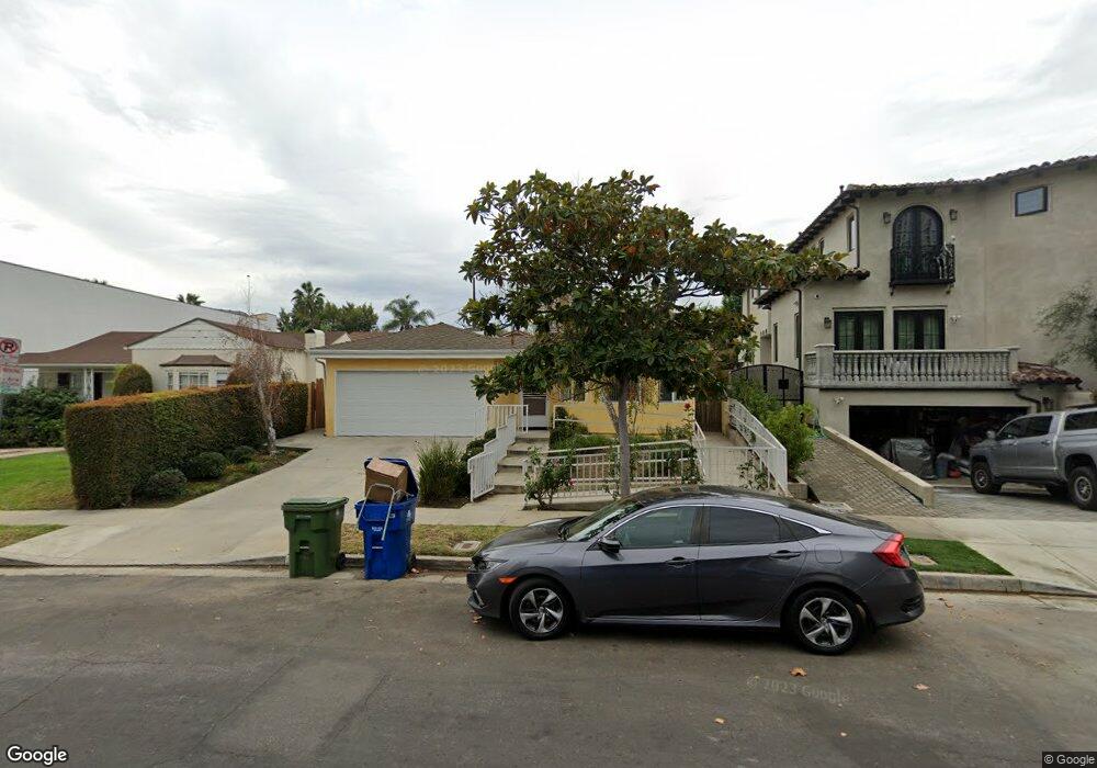
About This Home
This home is located at 10363 Calvin Ave, Los Angeles, CA 90025 and is currently estimated at $2,900,014, approximately $2,285 per square foot. 10363 Calvin Ave is a home located in Los Angeles County with nearby schools including Daniel Webster Middle School, Westwood Charter School, and Ralph Waldo Emerson Community Charter Middle School.
Ownership History
Date
Name
Owned For
Owner Type
Purchase Details
Closed on
Aug 3, 2009
Sold by
Gabai Morad M and Gabai Nadia E
Bought by
Nadem Properties Llc
Current Estimated Value
Purchase Details
Closed on
Feb 17, 1999
Sold by
Chan Sandra J Tr Sandra J Chan Trust
Bought by
Gabai Morad and Gabai Nadia
Home Financials for this Owner
Home Financials are based on the most recent Mortgage that was taken out on this home.
Original Mortgage
$275,250
Interest Rate
6.73%
Create a Home Valuation Report for This Property
The Home Valuation Report is an in-depth analysis detailing your home's value as well as a comparison with similar homes in the area
Home Values in the Area
Average Home Value in this Area
Purchase History
| Date | Buyer | Sale Price | Title Company |
|---|---|---|---|
| Nadem Properties Llc | -- | None Available | |
| Gabai Morad M | -- | None Available | |
| Gabai Morad | $367,000 | United Title Company |
Source: Public Records
Mortgage History
| Date | Status | Borrower | Loan Amount |
|---|---|---|---|
| Previous Owner | Gabai Morad | $275,250 |
Source: Public Records
Tax History Compared to Growth
Tax History
| Year | Tax Paid | Tax Assessment Tax Assessment Total Assessment is a certain percentage of the fair market value that is determined by local assessors to be the total taxable value of land and additions on the property. | Land | Improvement |
|---|---|---|---|---|
| 2025 | $10,920 | $884,909 | $573,776 | $311,133 |
| 2024 | $10,920 | $867,559 | $562,526 | $305,033 |
| 2023 | $10,717 | $850,549 | $551,497 | $299,052 |
| 2022 | $10,232 | $833,873 | $540,684 | $293,189 |
| 2021 | $10,093 | $817,524 | $530,083 | $287,441 |
| 2019 | $9,797 | $793,277 | $514,361 | $278,916 |
| 2018 | $9,654 | $777,724 | $504,276 | $273,448 |
| 2016 | $9,212 | $747,527 | $484,696 | $262,831 |
| 2015 | $9,080 | $736,300 | $477,416 | $258,884 |
| 2014 | $9,114 | $721,878 | $468,065 | $253,813 |
Source: Public Records
Map
Nearby Homes
- 2175 S Beverly Glen Blvd Unit 403
- 10326 Keswick Ave
- 2240 S Beverly Glen Blvd Unit 103
- 2010 S Beverly Glen Blvd Unit 302
- 10320 Mississippi Ave
- 2157 Linnington Ave
- 2187 Century Woods Way Unit 33
- 2142 Century Park Ln Unit 411
- 2132 Century Park Ln Unit 304
- 10365 Ilona Ave
- 10301 Mississippi Ave
- 1944 S Beverly Glen Blvd
- 1912 Benecia Ave
- 1940 S Beverly Glen Blvd
- 2301 S Beverly Glen Blvd Unit 102
- 10275 Century Woods Dr
- 2160 Century Park Ln Unit 503
- 10288 Century Woods Dr
- 2318 Fox Hills Dr Unit 102
- 2318 Fox Hills Dr Unit 203
- 10369 Calvin Ave
- 10369 Calvin Ave
- 10389 Calvin Ave
- 10357 Calvin Ave
- 10353 Calvin Ave
- 2120 Kerwood Ave
- 2116 Kerwood Ave
- 2126 Kerwood Ave
- 2112 Kerwood Ave
- 10327 Lauriston Ave
- 10347 Calvin Ave
- 10368 Calvin Ave
- 10342 Louisiana Ave
- 10348 Calvin Ave
- 10350 Louisiana Ave
- 10338 Louisiana Ave
- 10323 Lauriston Ave
- 10354 Louisiana Ave
- 10328 Louisiana Ave
- 10340 Calvin Ave