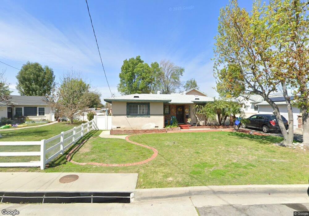
10369 Devillo Dr Whittier, CA 90604
South Whittier NeighborhoodEstimated Value: $818,000 - $936,000
3
Beds
2
Baths
1,750
Sq Ft
$492/Sq Ft
Est. Value
About This Home
This home is located at 10369 Devillo Dr, Whittier, CA 90604 and is currently estimated at $861,125, approximately $492 per square foot. 10369 Devillo Dr is a home located in Los Angeles County with nearby schools including Ceres Elementary School, Granada Middle School, and California High School.
Ownership History
Date
Name
Owned For
Owner Type
Purchase Details
Closed on
Sep 4, 1996
Sold by
Kaline Robert M and Kaline Diana
Bought by
Rosa Frank R and Rosa Scherry A
Current Estimated Value
Home Financials for this Owner
Home Financials are based on the most recent Mortgage that was taken out on this home.
Original Mortgage
$188,700
Interest Rate
7.88%
Mortgage Type
VA
Create a Home Valuation Report for This Property
The Home Valuation Report is an in-depth analysis detailing your home's value as well as a comparison with similar homes in the area
Home Values in the Area
Average Home Value in this Area
Purchase History
| Date | Buyer | Sale Price | Title Company |
|---|---|---|---|
| Rosa Frank R | $185,000 | Orange Coast Title |
Source: Public Records
Mortgage History
| Date | Status | Borrower | Loan Amount |
|---|---|---|---|
| Previous Owner | Rosa Frank R | $188,700 |
Source: Public Records
Tax History
| Year | Tax Paid | Tax Assessment Tax Assessment Total Assessment is a certain percentage of the fair market value that is determined by local assessors to be the total taxable value of land and additions on the property. | Land | Improvement |
|---|---|---|---|---|
| 2025 | $3,846 | $301,279 | $137,121 | $164,158 |
| 2024 | $3,846 | $295,373 | $134,433 | $160,940 |
| 2023 | $3,782 | $289,583 | $131,798 | $157,785 |
| 2022 | $3,700 | $283,906 | $129,214 | $154,692 |
| 2021 | $3,622 | $278,340 | $126,681 | $151,659 |
| 2019 | $3,548 | $270,086 | $122,925 | $147,161 |
| 2018 | $3,401 | $264,791 | $120,515 | $144,276 |
| 2016 | $3,210 | $254,511 | $115,836 | $138,675 |
| 2015 | $3,187 | $250,689 | $114,097 | $136,592 |
| 2014 | $3,148 | $245,779 | $111,862 | $133,917 |
Source: Public Records
Map
Nearby Homes
- 14308 Broadway
- 14315 Broadway Unit 210
- 14255 Broadway
- 10241 Ruoff Ave
- 14548 Hawes St
- 14030 Dicky St
- 13924 Anola St
- 10936 Theis Ave
- 14657 Via Pointe Del Sol
- 10035 Ben Hur Ave
- 11037 Biella Way
- 11020 Chadsey Dr
- 9834 Ahmann Ave
- 10745 Victoria Ave Unit 70
- 10745 Victoria Ave Unit 4
- 10928 Homage Ave
- 13838 Cornishcrest Rd
- 10415 Valley View Ave
- 10529 Corley Dr
- 14568 Reis St
- 10363 Devillo Dr
- 10377 Devillo Dr
- 10357 Devillo Dr
- 10383 Devillo Dr
- 10366 Devillo Dr
- 10351 Devillo Dr
- 10372 Devillo Dr
- 10380 Devillo Dr
- 10389 Devillo Dr
- 10360 Devillo Dr
- 10258 Regatta Ave
- 10252 Regatta Ave
- 10386 Devillo Dr
- 10354 Devillo Dr
- 10345 Devillo Dr
- 10244 Regatta Ave
- 10392 Devillo Dr
- 10394 Devillo Dr
- 10348 Devillo Dr
- 10396 Devillo Dr
Your Personal Tour Guide
Ask me questions while you tour the home.