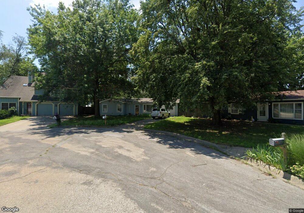
1037 Michael St Lawrence, KS 66049
Quail Run NeighborhoodEstimated Value: $259,550 - $305,000
3
Beds
1
Bath
1,134
Sq Ft
$242/Sq Ft
Est. Value
About This Home
This home is located at 1037 Michael St, Lawrence, KS 66049 and is currently estimated at $274,888, approximately $242 per square foot. 1037 Michael St is a home located in Douglas County with nearby schools including Quail Run Elementary School, Southwest Middle School, and Lawrence Free State High School.
Ownership History
Date
Name
Owned For
Owner Type
Purchase Details
Closed on
Mar 14, 2006
Sold by
Pate Angela M
Bought by
Perala Martha D
Current Estimated Value
Home Financials for this Owner
Home Financials are based on the most recent Mortgage that was taken out on this home.
Original Mortgage
$108,800
Outstanding Balance
$61,562
Interest Rate
6.19%
Mortgage Type
Fannie Mae Freddie Mac
Estimated Equity
$213,326
Purchase Details
Closed on
Jun 26, 2003
Sold by
Qualseth Shon D and Qualseth Mollie S
Bought by
Pate Angela M
Home Financials for this Owner
Home Financials are based on the most recent Mortgage that was taken out on this home.
Original Mortgage
$108,269
Interest Rate
5.44%
Mortgage Type
FHA
Create a Home Valuation Report for This Property
The Home Valuation Report is an in-depth analysis detailing your home's value as well as a comparison with similar homes in the area
Home Values in the Area
Average Home Value in this Area
Purchase History
| Date | Buyer | Sale Price | Title Company |
|---|---|---|---|
| Perala Martha D | -- | Capital Title Ins Co Lc | |
| Pate Angela M | -- | Kansas Secured Title |
Source: Public Records
Mortgage History
| Date | Status | Borrower | Loan Amount |
|---|---|---|---|
| Open | Perala Martha D | $108,800 | |
| Previous Owner | Pate Angela M | $108,269 |
Source: Public Records
Tax History
| Year | Tax Paid | Tax Assessment Tax Assessment Total Assessment is a certain percentage of the fair market value that is determined by local assessors to be the total taxable value of land and additions on the property. | Land | Improvement |
|---|---|---|---|---|
| 2025 | $3,464 | $28,359 | $7,475 | $20,884 |
| 2024 | $3,282 | $26,922 | $7,475 | $19,447 |
| 2023 | $3,268 | $25,657 | $6,900 | $18,757 |
| 2022 | $2,866 | $22,411 | $6,900 | $15,511 |
| 2021 | $2,441 | $18,412 | $5,980 | $12,432 |
| 2020 | $2,176 | $16,537 | $5,980 | $10,557 |
| 2019 | $2,137 | $16,261 | $5,060 | $11,201 |
| 2018 | $2,075 | $15,686 | $4,600 | $11,086 |
| 2017 | $2,041 | $15,261 | $4,600 | $10,661 |
| 2016 | $1,953 | $15,261 | $4,600 | $10,661 |
| 2015 | $1,953 | $15,824 | $4,600 | $11,224 |
| 2014 | $1,983 | $15,640 | $4,600 | $11,040 |
Source: Public Records
Map
Nearby Homes
- 1113 Somerset Cir
- 1215 Hacienda Ln
- 3922 Willshire Dr
- 916 Christie Ct
- 4207 Timberline Ct
- 1204 Chadwick Ct
- 1168 Parkside Cir
- 1503 Crossgate Dr
- 1407 Brighton Cir
- 1232 Belair Ct
- 3808 Pinnacle Cir
- 4600 Royal Birkdale Ct
- 4624 Hearthside Dr
- 904 Moundridge Dr
- 3921 Monterey Place
- 3712 Trail Rd
- 819 Crawford Dr
- 416 Eldridge St
- 317 Tallgrass Ct
- 1606 Cypress Point Dr
- 3929 W 11th Place
- 1033 Michael St
- 1032 Prescott Dr
- 1036 Prescott Dr
- 3925 W 11th Place
- 1028 Prescott Dr
- 1105 Sturbridge Cir
- 1029 Michael St
- 1100 Prescott Dr
- 1100 Sturbridge Cir
- 1024 Prescott Dr
- 3921 W 11th Place
- 1104 Prescott Dr
- 3928 W 11th Place
- 1109 Sturbridge Cir
- 1025 Michael St
- 3917 W 11th Place
- 1020 Prescott Dr
- 1104 Sturbridge Cir
- 1108 Prescott Dr
Your Personal Tour Guide
Ask me questions while you tour the home.