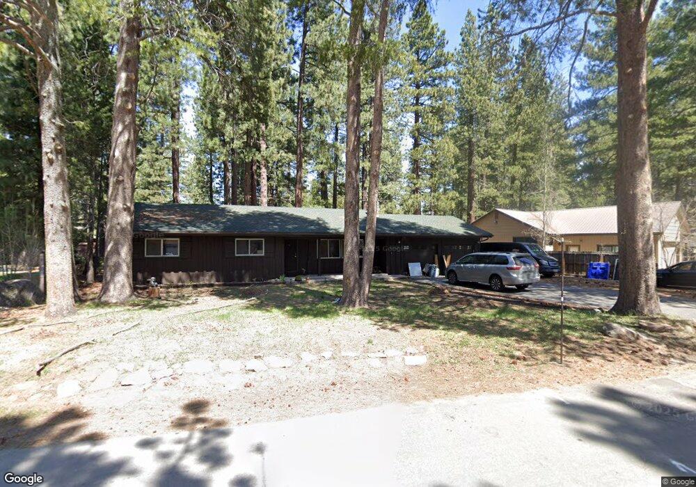
10370 Red Fir Rd Unit 1 Truckee, CA 96161
Sierra Meadows NeighborhoodEstimated Value: $777,904 - $925,000
3
Beds
2
Baths
1,256
Sq Ft
$667/Sq Ft
Est. Value
About This Home
This home is located at 10370 Red Fir Rd Unit 1, Truckee, CA 96161 and is currently estimated at $837,226, approximately $666 per square foot. 10370 Red Fir Rd Unit 1 is a home located in Nevada County with nearby schools including Truckee Elementary School, Alder Creek Middle School, and Tahoe Truckee High School.
Ownership History
Date
Name
Owned For
Owner Type
Purchase Details
Closed on
Jan 25, 2018
Sold by
Wooldridge Kirk J
Bought by
Wooldridge Kirk Jerome and Kirk J Wooldridge Living Trust
Current Estimated Value
Purchase Details
Closed on
Oct 8, 2003
Sold by
Mackey Phyllis A
Bought by
Wooldridge Kirk J
Home Financials for this Owner
Home Financials are based on the most recent Mortgage that was taken out on this home.
Original Mortgage
$299,250
Outstanding Balance
$141,465
Interest Rate
6.4%
Mortgage Type
Purchase Money Mortgage
Estimated Equity
$695,761
Purchase Details
Closed on
Jan 29, 2002
Sold by
Mackey Robert I
Bought by
Mackey Phyllis A
Create a Home Valuation Report for This Property
The Home Valuation Report is an in-depth analysis detailing your home's value as well as a comparison with similar homes in the area
Home Values in the Area
Average Home Value in this Area
Purchase History
| Date | Buyer | Sale Price | Title Company |
|---|---|---|---|
| Wooldridge Kirk Jerome | -- | None Available | |
| Wooldridge Kirk J | $315,000 | First American Title | |
| Mackey Phyllis A | -- | -- |
Source: Public Records
Mortgage History
| Date | Status | Borrower | Loan Amount |
|---|---|---|---|
| Open | Wooldridge Kirk J | $299,250 |
Source: Public Records
Tax History Compared to Growth
Tax History
| Year | Tax Paid | Tax Assessment Tax Assessment Total Assessment is a certain percentage of the fair market value that is determined by local assessors to be the total taxable value of land and additions on the property. | Land | Improvement |
|---|---|---|---|---|
| 2025 | $5,534 | $447,842 | $135,059 | $312,783 |
| 2024 | $5,512 | $439,061 | $132,411 | $306,650 |
| 2023 | $5,512 | $430,453 | $129,815 | $300,638 |
| 2022 | $5,399 | $422,014 | $127,270 | $294,744 |
| 2021 | $5,070 | $413,740 | $124,775 | $288,965 |
| 2020 | $5,044 | $409,499 | $123,496 | $286,003 |
| 2019 | $5,045 | $401,471 | $121,075 | $280,396 |
| 2018 | $4,854 | $393,600 | $118,701 | $274,899 |
| 2017 | $4,380 | $353,000 | $107,000 | $246,000 |
| 2016 | $4,240 | $336,000 | $102,000 | $234,000 |
| 2015 | $4,119 | $329,000 | $100,000 | $229,000 |
| 2014 | $3,730 | $302,000 | $92,000 | $210,000 |
Source: Public Records
Map
Nearby Homes
- 10309 Jeffery Pine Rd
- 10294 Sugar Pine Rd
- 10228 Jeffery Pine Rd
- 10537 Stone Pine Rd
- 9240 Heartwood Dr
- 11467 Brockway Rd Unit Martis Drive
- 9234 Heartwood Dr
- 10113 Corrie Ct
- 9264 Heartwood Dr
- 10035 Nicolas Dr Unit D
- 10300 Palisades Dr
- 10336 Palisades Dr
- 10121 Palisades Dr Unit 2
- 10400 Estates Dr
- 9185 Heartwood Dr
- 10209 Modane Place
- 10277 Modane Place Unit 313
- 10232 Modane Place
- 10316 Shady Ln
- 10335 Old Brockway Rd
- 10350 Red Fir Rd
- 10388 Red Fir Rd
- 10379 Red Fir Rd
- 10363 Red Fir Rd
- 10334 Red Fir Rd
- 10351 Red Fir Rd
- 10533 Jeffery Pine Rd
- 51273 Red Fir Rd
- 10511 Jeffery Pine Rd
- 10491 Jeffery Pine Rd
- 10333 Red Fir Rd
- 10402 Red Fir Rd
- 10471 Jeffery Pine Rd Unit 1
- 10551 Jeffery Pine Rd
- 10303 Red Fir Rd
- 10459 Jeffery Pine Rd
- 10976 Jeffrey Pine Rd
- 10340 White Fir Rd
- 10294 Red Fir Rd