10370 W 116th St N Collins, IA 50055
Estimated Value: $400,000 - $602,000
3
Beds
2
Baths
2,010
Sq Ft
$257/Sq Ft
Est. Value
About This Home
This home is located at 10370 W 116th St N, Collins, IA 50055 and is currently estimated at $515,983, approximately $256 per square foot. 10370 W 116th St N is a home located in Jasper County with nearby schools including Collins-Maxwell Elementary School and Collins-Maxwell Middle/High School.
Ownership History
Date
Name
Owned For
Owner Type
Purchase Details
Closed on
May 23, 2013
Sold by
Wheeler Troy and Wheeler Maria
Bought by
Rohmiller Gary M and Rohmiller Pearl A
Current Estimated Value
Create a Home Valuation Report for This Property
The Home Valuation Report is an in-depth analysis detailing your home's value as well as a comparison with similar homes in the area
Home Values in the Area
Average Home Value in this Area
Purchase History
| Date | Buyer | Sale Price | Title Company |
|---|---|---|---|
| Rohmiller Gary M | $62,500 | None Available |
Source: Public Records
Tax History Compared to Growth
Tax History
| Year | Tax Paid | Tax Assessment Tax Assessment Total Assessment is a certain percentage of the fair market value that is determined by local assessors to be the total taxable value of land and additions on the property. | Land | Improvement |
|---|---|---|---|---|
| 2025 | $5,354 | $400,480 | $218,180 | $182,300 |
| 2024 | $5,354 | $331,230 | $168,470 | $162,760 |
| 2023 | $5,190 | $331,230 | $168,470 | $162,760 |
| 2022 | $5,958 | $335,490 | $126,530 | $208,960 |
| 2021 | $5,822 | $315,070 | $126,530 | $188,540 |
| 2020 | $5,822 | $303,790 | $130,280 | $173,510 |
| 2019 | $4,800 | $317,710 | $0 | $0 |
| 2018 | $4,800 | $317,710 | $0 | $0 |
| 2017 | $4,534 | $327,150 | $0 | $0 |
| 2016 | $4,534 | $327,150 | $0 | $0 |
| 2015 | $4,386 | $327,540 | $0 | $0 |
| 2014 | $4,318 | $340,600 | $0 | $0 |
Source: Public Records
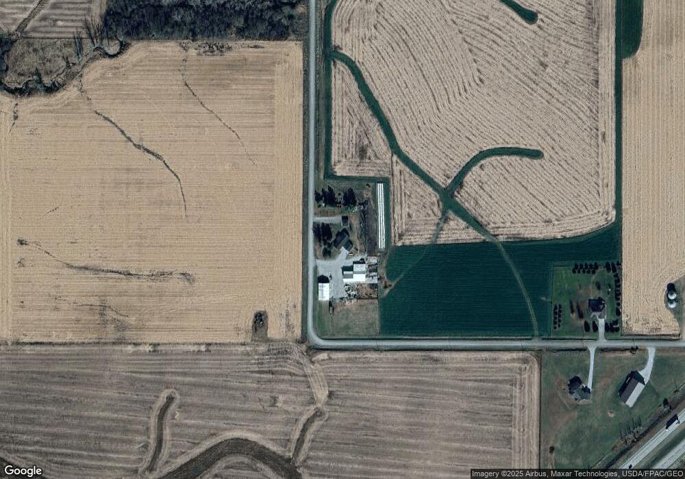
Map
Nearby Homes
- 72563 340th St
- 12485 Highway F17 W
- 0000 W 96th St N
- 412 2nd St
- 11 4th St
- 114 S Station St
- 103 Everett Cir
- 105 Everett Cir
- 6839 Center St
- 303 S Station St
- 12210 N 59th Ave W
- 12227 N 59th Ave W
- 14039 NE 112th St
- 000 Xxx St
- 312 Willow St
- 310 Willow St
- 304 Willow St
- 307 Willow St
- 303 Willow St
- 302 Willow St
- 11414 N 103rd Ave W
- 11415 N 103rd Ave W
- 0 W 116 St N
- 10155 W 113th St N
- 10152 W 113th St N
- 10593 Edge St
- 0 W 116th St N
- 11282 N 99th Ave W
- Lot G N 99th Ave W
- TBD N 99th Ave W
- 11010 N 99th Ave W
- 000 N 99th Ave W
- 11186 N 99th Ave W
- 10722 N 99th Ave W
- 11108 W 116th St N
- 10816 N 103rd Ave W
- 11143 W 116th St N
- 10934 N 107th Ave W
- 10934 N 107th Ave W Unit W