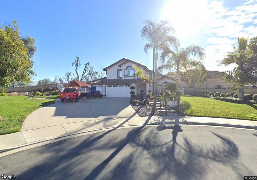
1038 New Star Cir Riverside, CA 92506
Mission Grove NeighborhoodEstimated Value: $691,000 - $1,057,000
4
Beds
3
Baths
3,700
Sq Ft
$252/Sq Ft
Est. Value
About This Home
This home is located at 1038 New Star Cir, Riverside, CA 92506 and is currently estimated at $930,930, approximately $251 per square foot. 1038 New Star Cir is a home located in Riverside County with nearby schools including William Howard Taft Elementary School, Amelia Earhart Middle School, and Martin Luther King Junior High School.
Ownership History
Date
Name
Owned For
Owner Type
Purchase Details
Closed on
Nov 17, 2003
Sold by
Peters Steve G and Peters Pantea A
Bought by
Peters Steve G and Peters Pantea A
Current Estimated Value
Home Financials for this Owner
Home Financials are based on the most recent Mortgage that was taken out on this home.
Original Mortgage
$210,000
Interest Rate
6.04%
Mortgage Type
Purchase Money Mortgage
Create a Home Valuation Report for This Property
The Home Valuation Report is an in-depth analysis detailing your home's value as well as a comparison with similar homes in the area
Home Values in the Area
Average Home Value in this Area
Purchase History
| Date | Buyer | Sale Price | Title Company |
|---|---|---|---|
| Peters Steve G | -- | Fidelity National Title Co S |
Source: Public Records
Mortgage History
| Date | Status | Borrower | Loan Amount |
|---|---|---|---|
| Closed | Peters Steve G | $210,000 |
Source: Public Records
Tax History
| Year | Tax Paid | Tax Assessment Tax Assessment Total Assessment is a certain percentage of the fair market value that is determined by local assessors to be the total taxable value of land and additions on the property. | Land | Improvement |
|---|---|---|---|---|
| 2025 | $4,016 | $376,230 | $110,002 | $266,228 |
| 2023 | $4,016 | $361,623 | $105,732 | $255,891 |
| 2022 | $3,922 | $354,533 | $103,659 | $250,874 |
| 2021 | $3,872 | $347,582 | $101,627 | $245,955 |
| 2020 | $3,842 | $344,019 | $100,585 | $243,434 |
| 2019 | $3,769 | $337,274 | $98,613 | $238,661 |
| 2018 | $3,694 | $330,662 | $96,681 | $233,981 |
| 2017 | $3,628 | $324,180 | $94,786 | $229,394 |
| 2016 | $3,394 | $317,825 | $92,928 | $224,897 |
| 2015 | $3,344 | $313,053 | $91,533 | $221,520 |
| 2014 | $3,312 | $306,923 | $89,741 | $217,182 |
Source: Public Records
Map
Nearby Homes
- 901 Clearwood Ave
- 120 Sandpoint Ln
- 7320 Barnstable Place
- 200 E Alessandro Blvd Unit 94
- 7158 Golden Vale Dr
- 1087 Mission Grove Pkwy N
- 6746 Alderpoint Ct
- 6910 Sandtrack Rd
- 7007 Golden Vale Dr
- 6568 Balzac Cir
- 6801 Rycroft Dr
- 7639 Hillhurst Dr
- 7390 Corinthian Way
- 1327 Melville Dr
- 14119 Ashton Ln
- 14420 Merlot Ct
- 14435 Wood Rd
- 1719 Crystal Ridge Ct
- 0 Via Vista Dr Unit IV25239083
- 7282 Magnon Ct
- 1052 New Star Cir
- 7075 City View Cir
- 7048 Westport St
- 1025 New Star Cir
- 7096 City View Cir
- 972 Cannon Rd
- 1039 New Star Cir
- 7058 Westport St
- 7055 City View Cir
- 1053 New Star Cir
- 992 Cannon Rd
- 7043 Westport St
- 7068 Westport St
- 7037 Westport St
- 7080 City View Cir
- 7049 Westport St
- 7031 Westport St
- 7018 Westport St
- 7035 City View Cir
- 1002 Cannon Rd
Your Personal Tour Guide
Ask me questions while you tour the home.