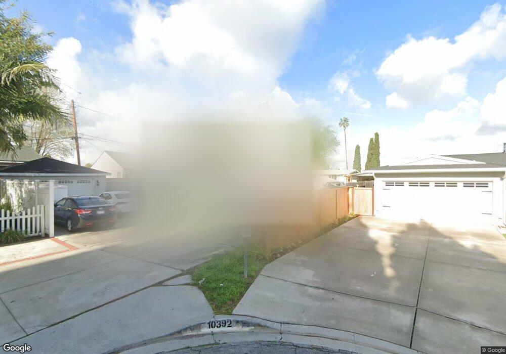
10392 Devillo Dr Whittier, CA 90604
South Whittier NeighborhoodEstimated Value: $647,000 - $787,000
3
Beds
2
Baths
1,029
Sq Ft
$709/Sq Ft
Est. Value
About This Home
This home is located at 10392 Devillo Dr, Whittier, CA 90604 and is currently estimated at $729,121, approximately $708 per square foot. 10392 Devillo Dr is a home located in Los Angeles County with nearby schools including Ceres Elementary School, Granada Middle School, and California High School.
Ownership History
Date
Name
Owned For
Owner Type
Purchase Details
Closed on
Jun 24, 2004
Sold by
Daphne Fenstermaker Properties Inc
Bought by
Villarino Charles A and Villarino Alma M
Current Estimated Value
Home Financials for this Owner
Home Financials are based on the most recent Mortgage that was taken out on this home.
Original Mortgage
$240,000
Outstanding Balance
$119,440
Interest Rate
6.27%
Mortgage Type
Seller Take Back
Estimated Equity
$609,681
Create a Home Valuation Report for This Property
The Home Valuation Report is an in-depth analysis detailing your home's value as well as a comparison with similar homes in the area
Home Values in the Area
Average Home Value in this Area
Purchase History
| Date | Buyer | Sale Price | Title Company |
|---|---|---|---|
| Villarino Charles A | $245,000 | First American Title Co |
Source: Public Records
Mortgage History
| Date | Status | Borrower | Loan Amount |
|---|---|---|---|
| Open | Villarino Charles A | $240,000 |
Source: Public Records
Tax History
| Year | Tax Paid | Tax Assessment Tax Assessment Total Assessment is a certain percentage of the fair market value that is determined by local assessors to be the total taxable value of land and additions on the property. | Land | Improvement |
|---|---|---|---|---|
| 2025 | $4,301 | $348,319 | $248,805 | $99,514 |
| 2024 | $4,301 | $341,490 | $243,927 | $97,563 |
| 2023 | $4,227 | $334,795 | $239,145 | $95,650 |
| 2022 | $4,135 | $328,231 | $234,456 | $93,775 |
| 2021 | $4,053 | $321,796 | $229,859 | $91,937 |
| 2019 | $3,971 | $312,254 | $223,043 | $89,211 |
| 2018 | $3,811 | $306,132 | $218,670 | $87,462 |
| 2016 | $3,607 | $294,247 | $210,180 | $84,067 |
| 2015 | $3,582 | $289,828 | $207,023 | $82,805 |
| 2014 | $3,534 | $284,151 | $202,968 | $81,183 |
Source: Public Records
Map
Nearby Homes
- 14308 Broadway
- 14255 Broadway
- 14315 Broadway Unit 210
- 10241 Ruoff Ave
- 14030 Dicky St
- 14548 Hawes St
- 13924 Anola St
- 10936 Theis Ave
- 10035 Ben Hur Ave
- 11037 Biella Way
- 14657 Via Pointe Del Sol
- 9834 Ahmann Ave
- 10745 Victoria Ave Unit 70
- 10745 Victoria Ave Unit 4
- 11020 Chadsey Dr
- 10928 Homage Ave
- 13838 Cornishcrest Rd
- 14568 Reis St
- 10415 Valley View Ave
- 10529 Corley Dr
- 10402 Devillo Dr
- 10389 Devillo Dr
- 10390 Devillo Dr
- 10404 Devillo Dr
- 10394 Devillo Dr
- 10383 Devillo Dr
- 10400 Devillo Dr
- 10396 Devillo Dr
- 10401 Devillo Dr
- 10406 Devillo Dr
- 10377 Devillo Dr
- 10386 Devillo Dr
- 10380 Devillo Dr
- 10369 Devillo Dr
- 10408 Devillo Dr
- 14224 Mystic St
- 10372 Devillo Dr
- 10398 Devillo Dr
- 10258 Regatta Ave
- 10363 Devillo Dr
Your Personal Tour Guide
Ask me questions while you tour the home.