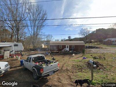
104 Cantrell Ln Waynesboro, TN 38485
Estimated Value: $44,672 - $242,000
--
Bed
1
Bath
1,580
Sq Ft
$84/Sq Ft
Est. Value
About This Home
This home is located at 104 Cantrell Ln, Waynesboro, TN 38485 and is currently estimated at $132,418, approximately $83 per square foot. 104 Cantrell Ln is a home located in Wayne County with nearby schools including Wayne Academy.
Ownership History
Date
Name
Owned For
Owner Type
Purchase Details
Closed on
Oct 7, 2003
Bought by
Pate Robert Cynthia
Current Estimated Value
Purchase Details
Closed on
Mar 15, 2002
Sold by
Harville Deborah A C
Bought by
Wayne County Bank
Purchase Details
Closed on
Aug 18, 1997
Sold by
Ann Clark Deborah
Bought by
James Harville
Home Financials for this Owner
Home Financials are based on the most recent Mortgage that was taken out on this home.
Original Mortgage
$22,537
Interest Rate
10.2%
Purchase Details
Closed on
Aug 6, 1992
Purchase Details
Closed on
Feb 10, 1992
Create a Home Valuation Report for This Property
The Home Valuation Report is an in-depth analysis detailing your home's value as well as a comparison with similar homes in the area
Home Values in the Area
Average Home Value in this Area
Purchase History
| Date | Buyer | Sale Price | Title Company |
|---|---|---|---|
| Pate Robert Cynthia | $16,000 | -- | |
| Wayne County Bank | $20,000 | -- | |
| James Harville | $15,000 | -- | |
| -- | -- | -- | |
| -- | -- | -- |
Source: Public Records
Mortgage History
| Date | Status | Borrower | Loan Amount |
|---|---|---|---|
| Open | Robert Pate | $33,654 | |
| Previous Owner | James Harville | $46,957 | |
| Previous Owner | Not Available | $22,537 |
Source: Public Records
Tax History Compared to Growth
Tax History
| Year | Tax Paid | Tax Assessment Tax Assessment Total Assessment is a certain percentage of the fair market value that is determined by local assessors to be the total taxable value of land and additions on the property. | Land | Improvement |
|---|---|---|---|---|
| 2024 | $99 | $4,550 | $750 | $3,800 |
| 2023 | $87 | $4,550 | $750 | $3,800 |
| 2022 | $87 | $4,550 | $750 | $3,800 |
| 2021 | $77 | $4,550 | $750 | $3,800 |
| 2020 | $77 | $3,350 | $750 | $2,600 |
| 2019 | $77 | $3,350 | $750 | $2,600 |
| 2018 | $77 | $3,350 | $750 | $2,600 |
| 2017 | $77 | $3,350 | $750 | $2,600 |
| 2016 | $69 | $3,350 | $750 | $2,600 |
| 2014 | $77 | $3,701 | $0 | $0 |
Source: Public Records
Map
Nearby Homes
- 107 W Songer St
- 446 Kilburn Hollow Rd
- 110 Turman St
- 311 W Hill St
- 310 W Hill St
- 0 U S Highway 64
- 0 Waynesboro Hwy Unit RTC2821045
- 0 Waynesboro Hwy Unit RTC2806893
- 0 Simmons Branch Rd Unit 10181446
- 656 Waynesboro Hwy
- 5081 Sunny Acres Dr
- 123 Will Dr
- 1717 Collinwood Hwy
- 152 Mink Branch Rd
- 1272 Old Highway 64 E
- 1141 Lawrenceburg Hwy
- 0 Leonard Jackson Rd Unit RTC2866603
- 1 Scott Ridge Rd
- 1717 Collinwood Hwy
- 0 Keeton Rd