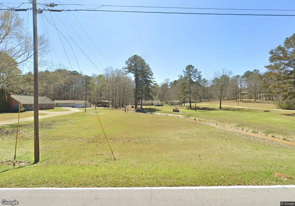
104 Cedar Ridge Dr Brandon, MS 39042
Estimated Value: $360,031 - $525,000
3
Beds
1
Bath
3,444
Sq Ft
$131/Sq Ft
Est. Value
About This Home
This home is located at 104 Cedar Ridge Dr, Brandon, MS 39042 and is currently estimated at $450,508, approximately $130 per square foot. 104 Cedar Ridge Dr is a home located in Rankin County with nearby schools including Rouse Elementary School, Stonebridge Elementary School, and Brandon Elementary School.
Ownership History
Date
Name
Owned For
Owner Type
Purchase Details
Closed on
Mar 24, 2023
Sold by
Mtgman Llc
Bought by
Hebron Hills Properties Llc
Current Estimated Value
Purchase Details
Closed on
Nov 23, 2020
Sold by
Peoples Teri D
Bought by
Hebron Hills Properties
Purchase Details
Closed on
Nov 7, 2019
Sold by
Smith Billy M and Smith Janice K
Bought by
Burnham Jeffrey M
Purchase Details
Closed on
Mar 10, 2017
Sold by
Burnham Chester H
Bought by
Burnham Jeffery M
Create a Home Valuation Report for This Property
The Home Valuation Report is an in-depth analysis detailing your home's value as well as a comparison with similar homes in the area
Home Values in the Area
Average Home Value in this Area
Purchase History
| Date | Buyer | Sale Price | Title Company |
|---|---|---|---|
| Hebron Hills Properties Llc | -- | None Listed On Document | |
| Hebron Hills Properties | -- | None Available | |
| Burnham Jeffrey M | -- | -- | |
| Burnham Jeffery M | -- | None Available |
Source: Public Records
Mortgage History
| Date | Status | Borrower | Loan Amount |
|---|---|---|---|
| Previous Owner | Burnham Jeffrey M | $79,000 |
Source: Public Records
Tax History Compared to Growth
Tax History
| Year | Tax Paid | Tax Assessment Tax Assessment Total Assessment is a certain percentage of the fair market value that is determined by local assessors to be the total taxable value of land and additions on the property. | Land | Improvement |
|---|---|---|---|---|
| 2024 | $1,772 | $20,174 | $0 | $0 |
| 2023 | $986 | $17,097 | $0 | $0 |
| 2022 | $1,430 | $17,097 | $0 | $0 |
| 2021 | $1,430 | $17,097 | $0 | $0 |
| 2020 | $1,430 | $17,097 | $0 | $0 |
| 2019 | $1,079 | $13,267 | $0 | $0 |
| 2018 | $1,053 | $13,267 | $0 | $0 |
| 2017 | $1,053 | $13,267 | $0 | $0 |
| 2016 | $999 | $13,393 | $0 | $0 |
| 2015 | $999 | $13,393 | $0 | $0 |
| 2014 | $581 | $9,285 | $0 | $0 |
| 2013 | -- | $9,285 | $0 | $0 |
Source: Public Records
Map
Nearby Homes
- 0 Hebron Hill Dr
- 00 Hebron Hill Dr
- 130 Deer Ridge Rd
- 144 Kathryn Dr
- 0 Nottingham Rd
- 127 Canterbury Rd
- 305 Flagstone Dr
- 409 Sand Stone Place
- 1178 Sanctuary Dr
- 111 Meadow Pointe Cove
- 223 New Haven Ln
- 219 New Haven Ln
- 317 Stronghold Dr
- 315 Stronghold Dr
- 217 New Haven Ln
- 548 Stone Brook Place
- 544 Stone Brook Place
- 110 Sir Richard Rd
- 112 Sir Richard Rd
- 509 Stone Brook Place
- 106 Cedar Ridge Dr
- 108 Cedar Ridge Dr
- 100 Cedar Ridge Dr
- 110 Cedar Ridge Cove
- 258 Hebron Hill Dr
- 105 Cedar Ridge Dr
- 101 Cedar Ridge Dr
- 256 Hebron Hill Dr
- 112 Cedar Ridge Cove
- 113 Cedar Ridge Dr
- 135 Rebel Ridge
- 300 Hebron Hill Dr
- 114 Cedar Ridge Cove
- 240 Hebron Hill Dr
- 107 Cedar Ridge Dr
- 275 Hebron Hill Dr
- 269 Hebron Hill Dr
- 310 Hebron Hill Dr
- 241 Hebron Hill Dr
- 165 Rebel Ridge
