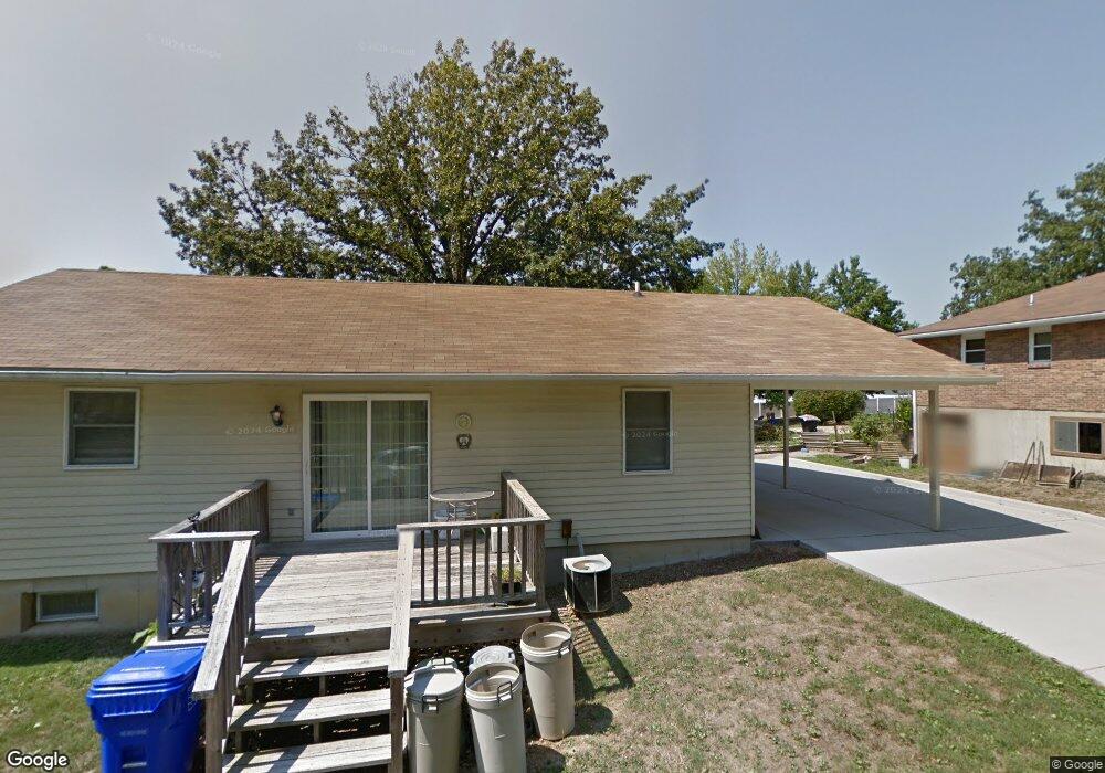
104 Curtis Dr Eureka, MO 63025
Estimated Value: $233,000 - $265,000
2
Beds
1
Bath
1,142
Sq Ft
$213/Sq Ft
Est. Value
About This Home
This home is located at 104 Curtis Dr, Eureka, MO 63025 and is currently estimated at $242,939, approximately $212 per square foot. 104 Curtis Dr is a home located in St. Louis County with nearby schools including Eureka Elementary School, Lasalle Springs Middle School, and Eureka Senior High School.
Ownership History
Date
Name
Owned For
Owner Type
Purchase Details
Closed on
Mar 1, 2023
Sold by
Bokan Karen
Bought by
Curtis Properties Of Eureka Llc
Current Estimated Value
Home Financials for this Owner
Home Financials are based on the most recent Mortgage that was taken out on this home.
Original Mortgage
$164,000
Outstanding Balance
$158,124
Interest Rate
6.15%
Mortgage Type
New Conventional
Estimated Equity
$84,815
Purchase Details
Closed on
Sep 28, 2004
Sold by
Curtis Grace L
Bought by
Bokan Karen
Create a Home Valuation Report for This Property
The Home Valuation Report is an in-depth analysis detailing your home's value as well as a comparison with similar homes in the area
Home Values in the Area
Average Home Value in this Area
Purchase History
| Date | Buyer | Sale Price | Title Company |
|---|---|---|---|
| Curtis Properties Of Eureka Llc | -- | Investors Title Company | |
| Bokan Karen | -- | -- |
Source: Public Records
Mortgage History
| Date | Status | Borrower | Loan Amount |
|---|---|---|---|
| Open | Curtis Properties Of Eureka Llc | $164,000 |
Source: Public Records
Tax History
| Year | Tax Paid | Tax Assessment Tax Assessment Total Assessment is a certain percentage of the fair market value that is determined by local assessors to be the total taxable value of land and additions on the property. | Land | Improvement |
|---|---|---|---|---|
| 2025 | $2,922 | $45,540 | $19,780 | $25,760 |
| 2024 | $2,922 | $39,140 | $14,840 | $24,300 |
| 2023 | $2,925 | $39,140 | $14,840 | $24,300 |
| 2022 | $2,763 | $34,410 | $14,840 | $19,570 |
| 2021 | $2,743 | $34,410 | $14,840 | $19,570 |
| 2020 | $2,566 | $30,780 | $14,630 | $16,150 |
| 2019 | $2,574 | $30,780 | $14,630 | $16,150 |
| 2018 | $2,429 | $27,410 | $10,750 | $16,660 |
| 2017 | $2,340 | $27,410 | $10,750 | $16,660 |
| 2016 | $1,905 | $21,450 | $7,830 | $13,620 |
| 2015 | $1,889 | $21,450 | $7,830 | $13,620 |
| 2014 | $1,931 | $21,430 | $6,610 | $14,820 |
Source: Public Records
Map
Nearby Homes
- 118 Towne Square Ct Unit D4
- 125 Towne Square Ct Unit 4E
- 637 N Virginia Ave
- 15 Rockwood Place Ct
- 3 Leona Ln
- 160 Hunters Run Ct
- 318 Kevin Jon Ct
- 944 Emerald Oaks Ct
- 345 Palisades Ridge Ct
- 897 Top Notch Ln
- 17114 Elm Trail Dr
- 412 Parkview Ln
- 132 Hunters Green Ln
- 369 Cerny Ave
- 830 Lower Field Ln
- 826 Lower Field Ln
- 83 Old Farmhouse Way
- 75 Old Farmhouse Way
- 808 Lower Field Ln
- 4606 Hickory Ridge View Ct
- 106 Curtis Dr
- 102 Curtis Dr
- 57 the Landings Lot
- 999 Wilderness Green Valley Tbd
- 327 Theodore Dr
- 100 Curtis Dr
- 108 Curtis Dr
- 323 Theodore Dr
- 322 W 4th St
- 328 Theodore Dr
- 207 Walton Dr
- 319 Theodore Dr
- 213 Walton Dr
- 320 W 4th St Unit n/a
- 320 W 4th St Unit A
- 326 Theodore Dr
- 303 Walton Dr
- 318 Theodore Dr
- 324 Theodore Dr
- 314 Theodore Dr
Your Personal Tour Guide
Ask me questions while you tour the home.